Sujet
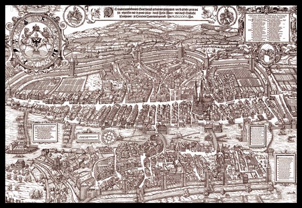
The Murer plan is a map of Zürich, printed in 1576 by Jos Murer
Légende
The Murer plan is a map of Zürich, printed in 1576 by Jos Murer (1530-1580).
Date
16e siècle
Crédit
Photo12/Ann Ronan Picture Library
Notre référence
ARP17A12_496
Licence
Droits gérés
Format disponible
60.0Mo (9.0Mo) / 46.6cm x 32.2cm / 5507 x 3808 (300dpi)