Sujet
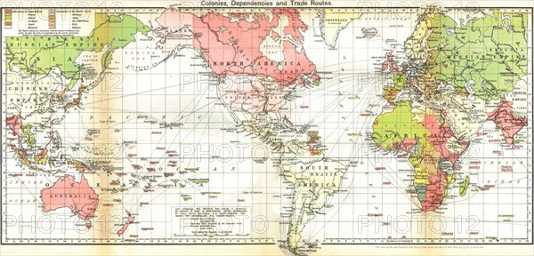
Map of the British Empire 19th Century
Légende
Map of the British Empire 19th Century. Areas controlled by Britain are shaded in pink.
Date
19e siècle
Crédit
Photo12/Ann Ronan Picture Library
Notre référence
ARP11A00_399
Licence
Droits gérés
Format disponible
51.2Mo (4.8Mo) / 51.6cm x 24.8cm / 6100 x 2932 (300dpi)