Sujet
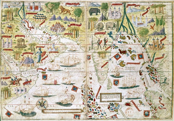
16th century Portugese map of the Indian Ocean, Persian Gulf, India and North Africa
Légende
16th century Portugese map of the Indian Ocean, Persian Gulf, India and North Africa. Miller. B.N., Paris
Date
16e siècle
Crédit
Photo12/Ann Ronan Picture Library
Notre référence
ARP07099_390003356
Licence
Droits gérés
Format disponible
25.1Mo (2.5Mo) / 30.0cm x 20.9cm / 3543 x 2472 (300dpi)