66 results for: route
- Page
-
- of
- 1
Please sign in for more results
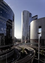
SAU10A00_045
Quartier de la Défense/ 92 Hauts-de-Seine / Rég. I...
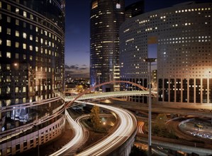
SAU09A00_061
Quartier de la Défense
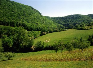
SAU01158_010
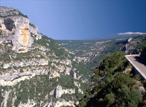
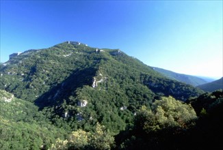
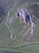
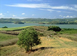
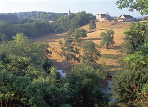
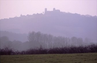
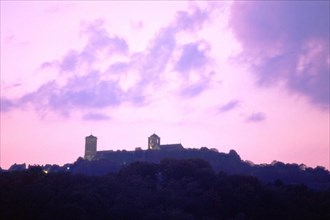
Franche-Comté : Baume les Messieurs Vue de la rou...
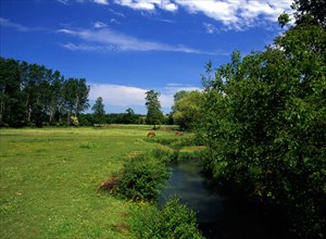
SAU01158_011
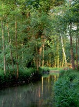
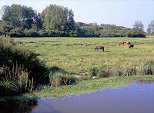
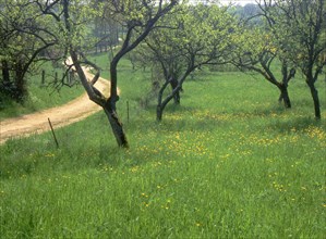
Ile-de-France : vallée de L'Orvanne Vue de la rou...
SAU01158_023
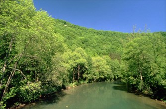
Ile-de-France : Vallée de l'Orvanne L'Orvanne vue...
SAU01158_025
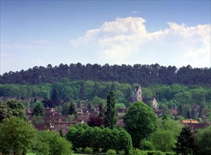
Ile-de-France : Bois de la Commanderie Vue de la ...
SAU01158_059
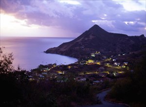
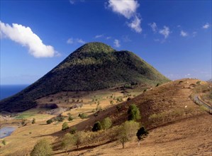
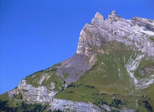
Martinique : pointe du Diamant : morne Jacqueline ...
SAU01158_060
Martinique : pointe du Diamant : vue de la route P...
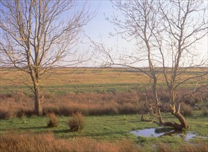
SAU00300_243
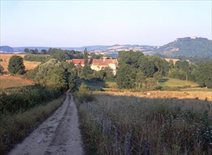
View from the road, between the Le Cluzeau mill an...
SAU01032_097
View from route D2 towards the ruins of the Châtea...
SAU01032_098
View from route D2 towards the ruins of the Châtea...
SAU01032_001
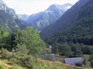
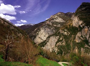
View from the road between Cupelin and La Cry (nea...
SAU01032_002
View from the road between Cupelin and La Cry (nea...
SAU01032_023
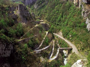
View from the private cableway towards the Clarabi...
SAU01032_024
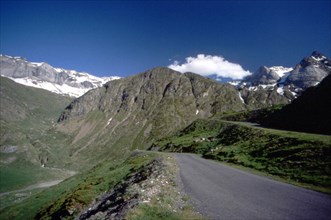
View from the eastern side of route D725, between ...
SAU01032_025
View from the eastern side of route D725, between ...
SAU01032_036
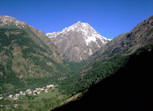
View from the road of the Bedous viewpoint indicat...
SAU01032_040
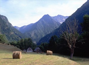
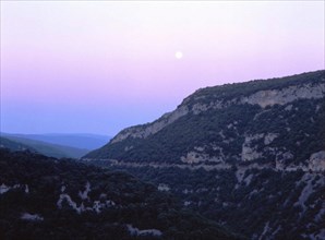
View from the Pausat crests down towards the hamle...
SAU01032_043
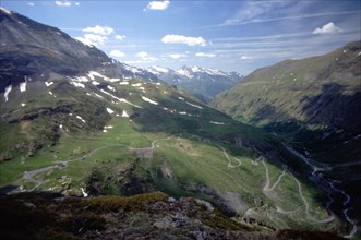
View from route D942 towards Les Cabanes
SAU01032_044
View from Le Rède (route D5) towards the Rocher du...
SAU01032_045
View from the Castelleras belvedere towards the Ro...
SAU01032_047
View from route D942 around Castelleras, towards t...
SAU01032_048
View from route D942, between Les Estachons and Le...
SAU01032_049
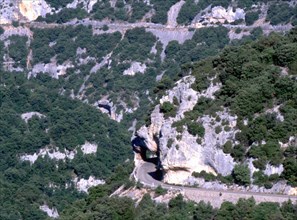
View from route D942, at the tunnel near Les Estac...
SAU01032_052
View from route D942, around the western boundary ...
SAU01018_001
View from route D106E2 towards the Forge du Diable...
SAU01018_005
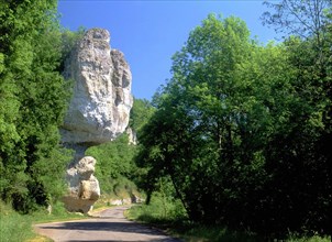
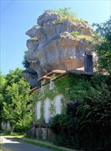
La Gerbaudie, rocky outcrop
SAU01018_015
View from route D38 at the crossing with route D42...
SAU01018_016
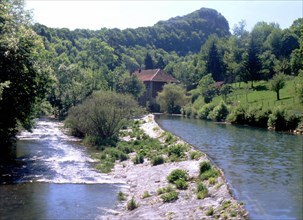
View from the bridge where route D38 crosses the J...
SAU01018_020
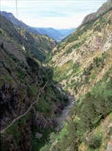
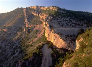
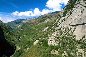
View from route D922 towards the Cirque de Troumou...
SAU01018_021
View from the Cirque de Troumouse, tollroad toward...
SAU01018_034
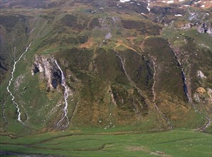
View from the Gavarnie road at the Ossoue dam, wat...
SAU01018_035
View from the Gavarnie road at the Ossoue dam, wat...
SAU01018_038
Cherry-plum trees and the Calvary path at Le Haut ...
SAU01018_043
View from the bridge linking routes D492 and D19E,...
SAU01018_052
View from route D2 towards Pointe Marcussy and Le ...
SAU01018_053
View from route D2 towards Pointe Marcussy and Le ...
SAU01018_118
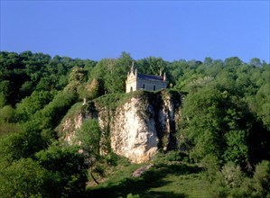
Chapel of Saint-Erminfroid seen from route D21E
SAU01018_119
View from the bridge linking routes D492 and D19E,...
SAU01018_121
View from route D21, along the Les Alloz torrent
SAU01003_006
View from the D 421 T road towards Le Pelvoux
SAU01003_066
View from the bottom of the lane connecting the D9...
SAU01003_067
View from the Asquins road at the D36 towards Véze...
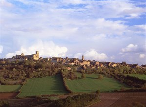
SAU01003_068
View from the Asquins road at the D36 towards Véze...
SAU01003_077
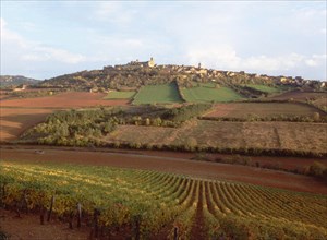
View from the road Précy-le-Moult in the Chasseign...
SAU01003_078
View from a path between Fontette and Nanchèvre to...
SAU01003_082
View from Saint-Père, at the intersection of the D...
SAU01003_090
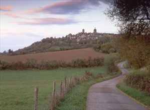
Forêt d'Ermenonville, Prince Faustrat road toward...
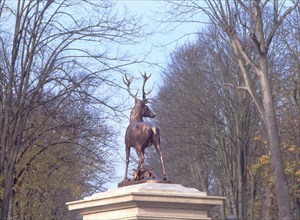
SAU01003_099
Senlis, statue of the stag at the crossroads of ro...
SAU01003_114
View from the northern road, below the old fort, t...
SAU01003_115
View from the southern point of the southern road ...
SAU01003_116
View from the southern point of the southern road ...
SAU01003_149
View from route D958, between Foissy-lès-Vézelay a...
SAU01003_155
View from Saint-Père, at the intersection of route...
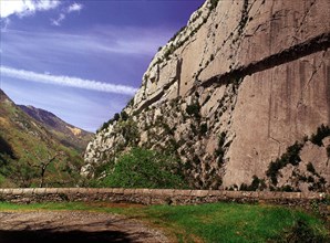
SAU00300_206
Overall view from the Fort du Portalet and its sur...
SAU00300_207
General view from Le Baralet road at Lamazou
SAU00300_211
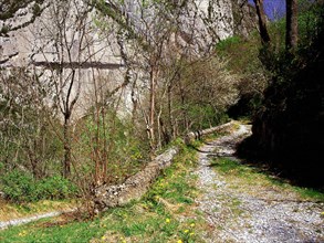
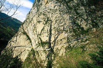
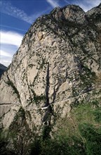
La Mâture path seen from the access road to the Fo...
SAU00300_212
La Mâture path seen from a balcony built on the be...
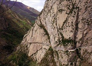
SAU00300_213
La Mâture path seen from the upper extension of th...
SAU00300_220
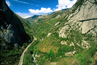
Northern part of the site, seen from the access ro...
SAU00300_221
Northern part of the site, seen from the access ro...
SAU00300_222
La Mâture seen from the upper extension of the acc...
SAU00300_223
La Mâture seen from the upper extension of the acc...
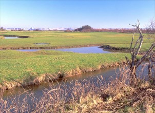
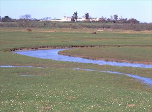
SAU00300_238
View from the D12 road towards Abenoux
SAU00300_239
View from the D12 road towards Abenoux

SAU00300_242