2319 results for: high pasture
- Page
-
- of
- 24
Please sign in for more results
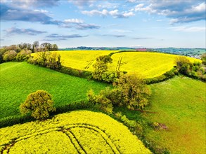
BRK24C83_214
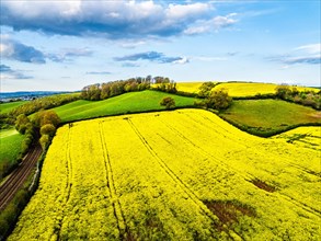
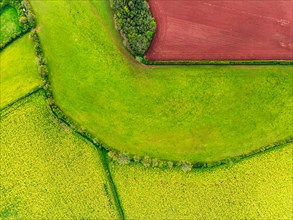
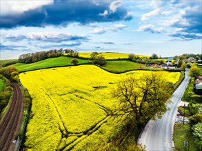
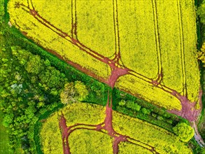
Rapeseed fields and farms from a drone, Torquay, D...
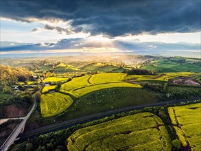
BRK24C86_495
Sunset of Rapeseed fields and Farms from a drone, ...
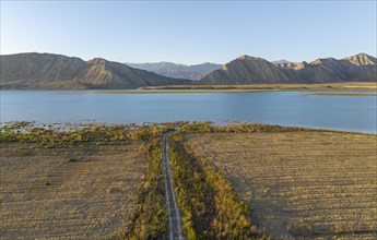
BRK24C92_105
Dirt road leads between fields to the lake, Toktog...
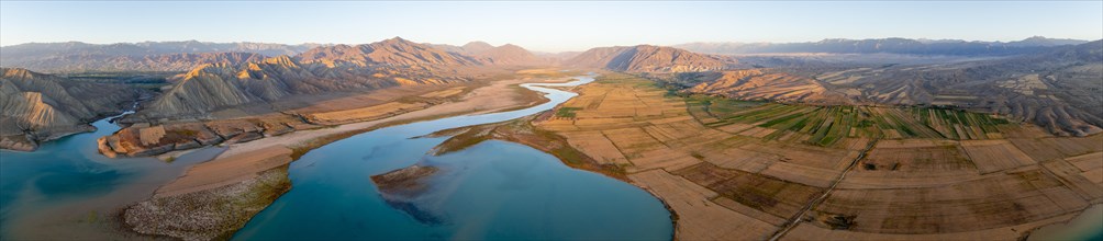
BRK24C97_003
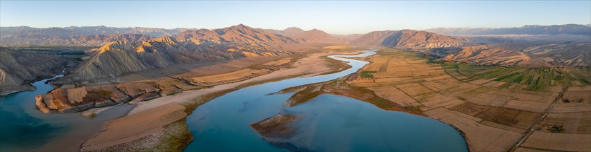
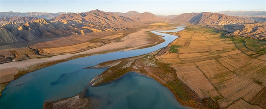
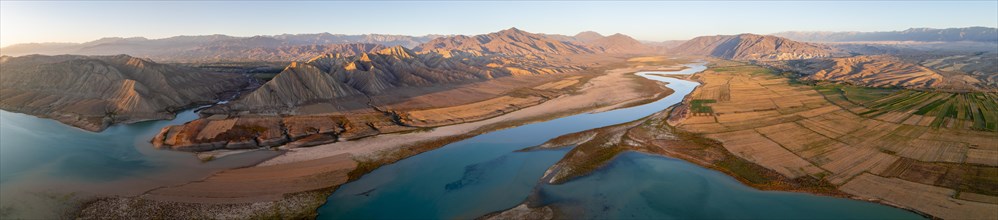
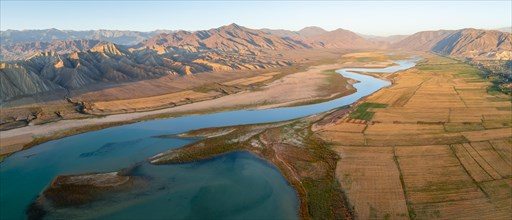
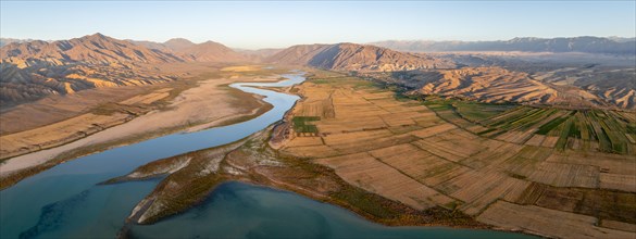
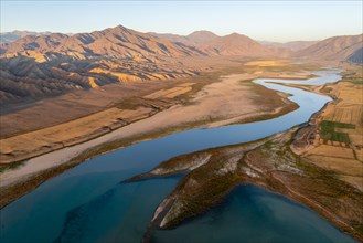
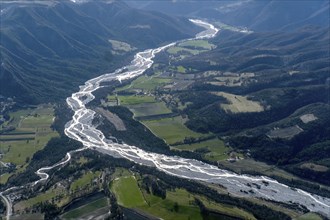
Panorama, Naryn river between mountains and fields...
BRK24C92_095
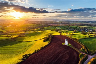
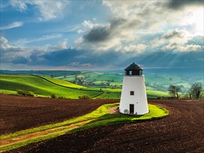
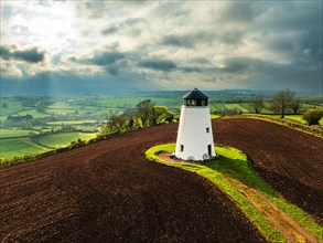
Sunset of Devon Windmill over Fields and Farms fro...
BRK24C81_399
Sunset of Devon Windmill over Fields and Farms fro...
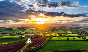
BRK24C96_111
Sunset of Devon Windmill over Fields and Farms fro...
BRK24C94_296
Sunset of Devon Windmill over Fields and Farms fro...
BRK24C85_397
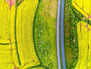
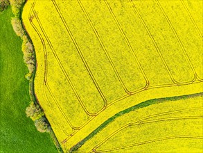
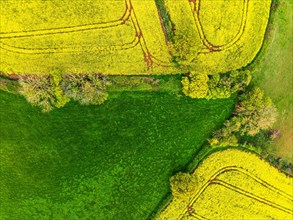
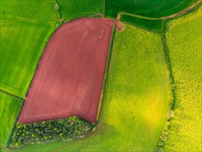
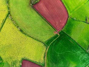
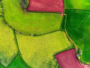
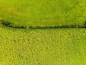
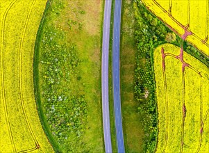
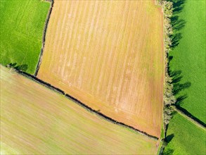
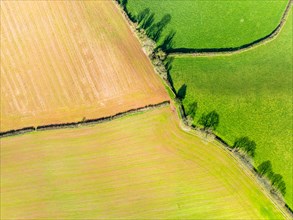
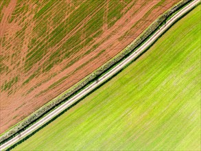
TOP DOWN over Rapeseed fields and Farms from a dro...
BRK24C81_013
Naryn River between mountains and fields, at Tokto...
BRK24C79_018
Rapeseed fields and farms from a drone, Torquay, D...
BRK24C88_172
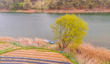
Landscape of a small blue boat docked on a riverba...
BRK24C89_019
TOP DOWN over Rapeseed fields and Farms from a dro...
BRK24C89_216
Rapeseed fields and farms from a drone, Torquay, D...
BRK24C91_004
TOP DOWN over Rapeseed fields and Farms from a dro...
BRK24C91_007
Naryn River between mountains and fields, at Tokto...
BRK24C94_116
Panorama, Naryn river between mountains and fields...
BRK24C80_300
TOP DOWN over Rapeseed fields and Farms from a dro...
BRK24C87_206
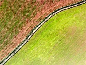
Field path between harvested fields, aerial view, ...
BRK24D01_454
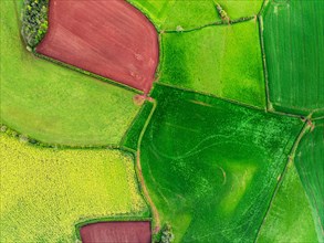
Aerial view, irrigation, agriculture field, field,...
BRK24C97_398
Naryn River between mountains and fields, at Tokto...
BRK24C97_193
TOP DOWN over Rapeseed fields and Farms from a dro...
BRK24C87_200
TOP DOWN over Rapeseed fields and Farms from a dro...
BRK24C92_255
Cows grazing in a meadow, slope in the autumnal Sa...
BRK24C92_293
TOP DOWN over Rapeseed fields and Farms from a dro...
BRK24C83_006
TOP DOWN over Rapeseed fields and Farms from a dro...
BRK24C85_402
Naryn River between mountains and fields, at Tokto...
BRK24C79_216
Rapeseed fields and farms from a drone, Torquay, D...
BRK24C84_495
Sunset of Devon Windmill over Fields and Farms fro...
BRK24C96_105
Naryn River between mountains and fields, at Tokto...
BRK24C97_408
Rapeseed fields and farms from a drone, Torquay, D...
BRK24C95_205
Sunset of Devon Windmill over Fields and Farms fro...
BRK24C83_007
TOP DOWN over Rapeseed fields and Farms from a dro...
BRK24C96_100
TOP DOWN over Rapeseed fields and Farms from a dro...
BRK24C98_152
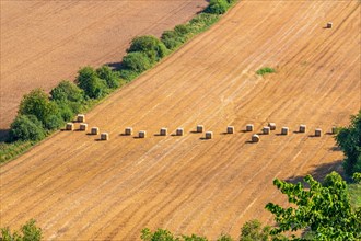
Straw bales in a row in a field after harvest in a...
BRK24C79_413
Rapeseed fields and farms from a drone, Torquay, D...
BRK24C88_115
TOP DOWN over Rapeseed fields and Farms from a dro...
BRK24C93_212
TOP DOWN over Rapeseed fields and Farms from a dro...
BRK24D07_333
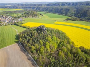
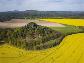
The Zirkelstein near Schoena in the Saxon district...
BRK24D04_434
The Kaiser's crown is a heavily abraded and jagged...
BRK24D01_323
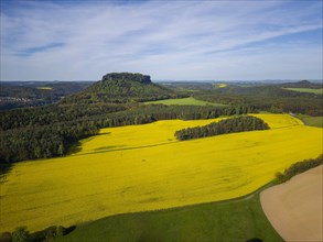
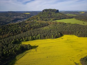
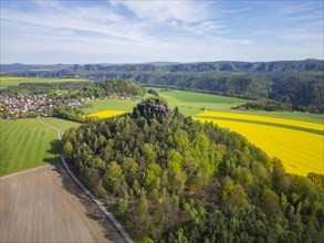
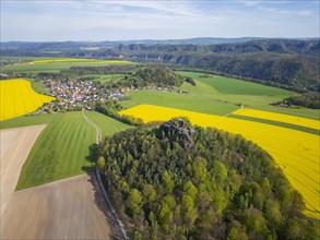
The symbolic mountain for Saxon Switzerland, the L...
BRK24D06_033
The symbolic mountain for Saxon Switzerland, the L...
BRK24D00_227
The symbolic mountain for Saxon Switzerland, the L...
BRK24D00_229
The Zirkelstein near Schoena in the Saxon district...
BRK24D00_272
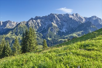
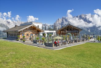
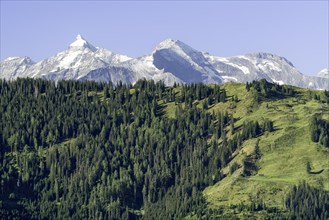
View of the Hochkoenig mountain range, alpine mead...
BRK24D04_234
The Zirkelstein near Schoena in the Saxon district...
BRK24D05_123
The symbolic mountain for Saxon Switzerland, the L...

BRK24D06_222
The Kaiser's crown is a heavily abraded and jagged...
BRK24D02_240
The Zirkelstein near Schoena in the Saxon district...
BRK24D02_429
The symbolic mountain for Saxon Switzerland, the L...
BRK24D02_430
The Zirkelstein near Schoena in the Saxon district...
BRK24D03_170
Steinbockalm in Dienten am Hochkoenig, alpine hut ...
BRK24D05_125
The Zirkelstein near Schoena in the Saxon district...
BRK24D05_167
View of the Grossglockner, alpine meadow with fore...
BRK24D07_143
The Zirkelstein near Schoena in the Saxon district...

BRK24D00_037
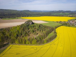
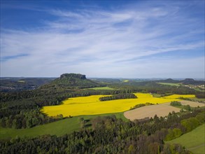
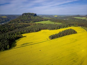
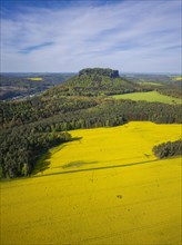
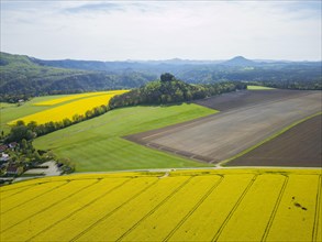
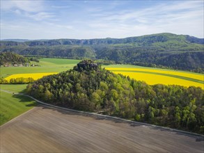
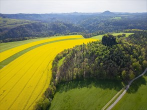
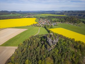
Rape fields in bloom on the Lilienstein with a vie...
BRK24D02_030
The Zirkelstein near Schoena in the Saxon district...
BRK24D06_432
The Zirkelstein near Schoena in the Saxon district...
BRK24C77_027
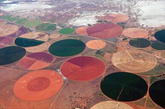
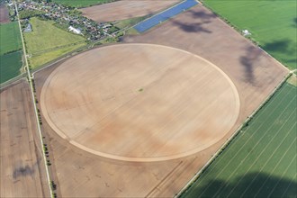
Aerial photo, irrigation, agriculture, field, roun...
BRK24C53_051
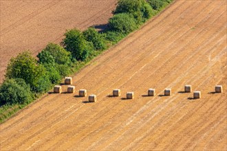
Aerial view at some straw bales on a stubble field...
BRK24C52_349
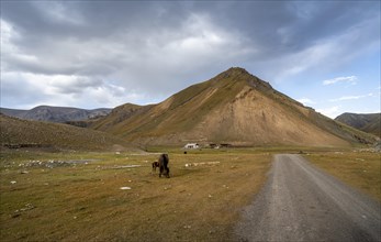
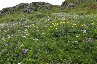
Blooming mountain meadow on the Silvretta High Alp...
BRK24C54_356
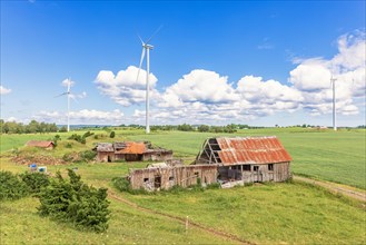
Landscape view at an old barn ruins in the country...
BRK24C69_140
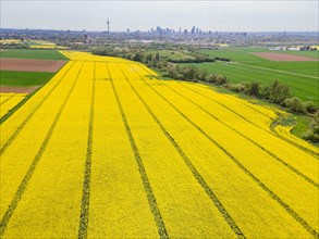
A rape field in the north-west of Frankfurt is in ...

BRK24C40_274
A single tulip stands tall in a field bathed in su...
BRK24C38_233
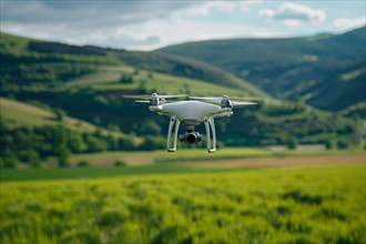
Drone flying over agricultural field. KI generiert...
BRK24C26_444
Aerial view, river, Bleone, Alpes de Haute Provenc...
BRK24C38_185
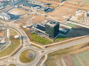
Drone shot of a modern office complex next to roun...
BRK24C35_083
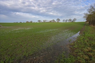
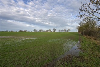
Flooded field with germinating winter wheat (Triti...
BRK24C45_293
Flooded field with germinating winter wheat (Triti...
BRK24C40_188
Flooded field with germinating winter wheat (Triti...
BRK24C23_095
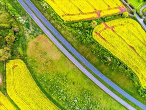
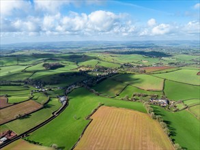
Aerial view of a winding country road meandering t...
BRK24B92_162
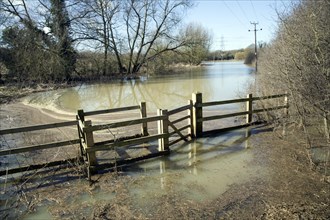
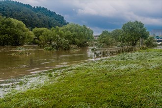
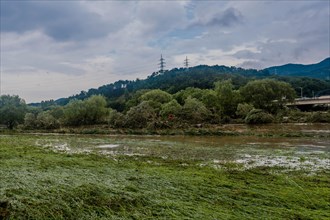
Field flooded by Belstead Brook overflow, Ipswich,...
BRK24C15_363
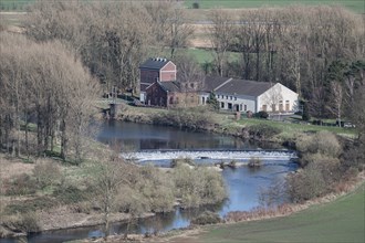
Volmarstein waterworks, top view from Volmarstein ...
BRK24B61_493
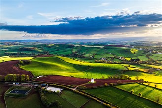
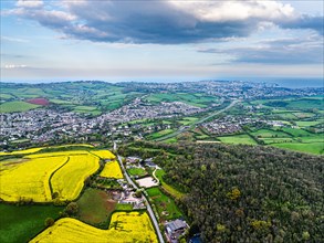
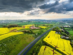
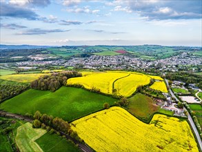
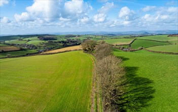
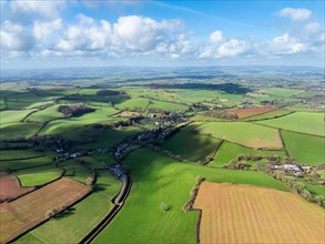
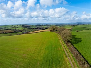
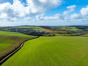
Fields and Farms from a drone, Devon, England, Uni...
BRK24B63_200
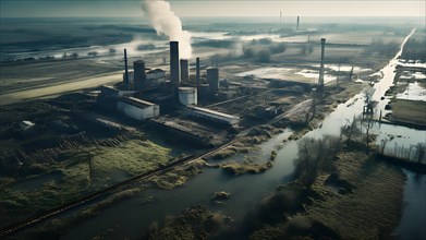
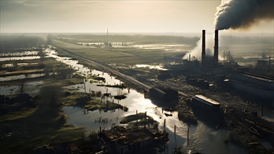
Aerial perspective captures devastated agricultura...
BRK24B62_498
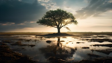
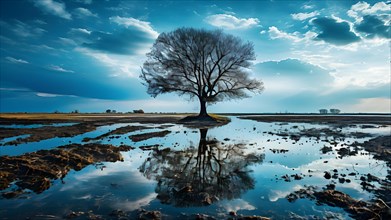
Lonet ree exemplifies resilience surrounded by a v...
BRK24B64_189
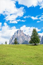
Spruce tree on a alp meadow below the Langkofel gr...
BRK24B82_176
Fields and Farms from a drone, Devon, England, Uni...
BRK24B75_209
Aerial perspective captures devastated agricultura...
BRK24B75_401
Lonet ree exemplifies resilience surrounded by a v...
BRK24B80_099
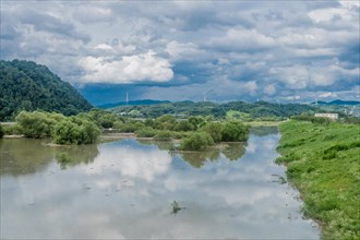
River overflowing its banks, flooding the surround...
BRK24B69_477
Fields and Farms from a drone, Devon, England, Uni...
BRK24B70_481
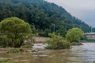
Landscape of tall damaged trees in flooded river a...
BRK24B76_182
Fields and Farms from a drone, Devon, England, Uni...
BRK24B80_384
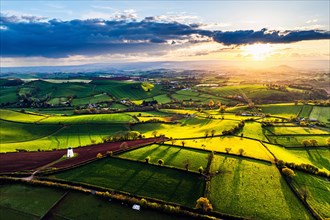
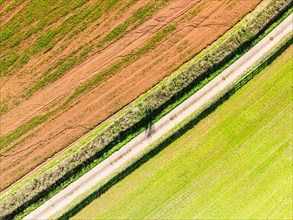
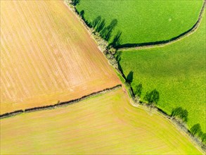
Top Down over Fields and Farms from a drone, Devon...
BRK24B81_474
Top Down over Fields and Farms from a drone, Devon...
BRK24B68_190
Top Down over Fields and Farms from a drone, Devon...
BRK24B74_380
Fields and Farms from a drone, Devon, England, Uni...
BRK24B66_387
Top Down over Fields and Farms from a drone, Devon...
BRK24B78_095
Aerial view of a flooded river with treetop above ...
BRK24B77_496
Top Down over Fields and Farms from a drone, Devon...
BRK24B78_381
Top Down over Fields and Farms from a drone, Devon...
BRK24B61_399
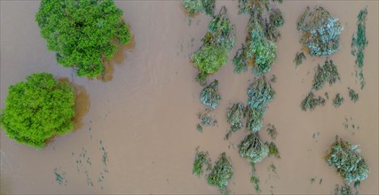
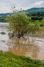
Expansive flooded landscape with trees partially s...
BRK24B84_094
Trees submerged by floodwaters near riverbanks in ...
BRK24B67_399
Solitary tree standing in floodwaters along a rive...
BRK24B74_097
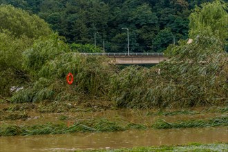
Damaged trees in flooded water with a bridge in th...
BRK24B86_060
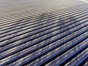
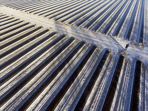
An aerial photo shows snow-covered sheets stretche...
BRK24B90_011
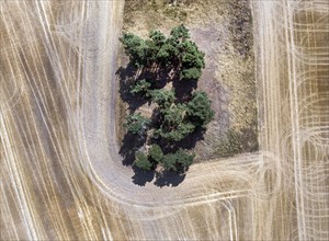
Tractor tracks in a field. Heat and drought have l...
BRK24B88_456
An aerial photo shows snow-covered sheets stretche...
BRK24B90_054
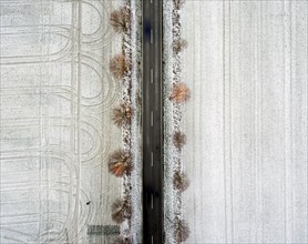
An aerial view shows an avenue with trees leading ...
- Page
-
- of
- 24