15 results for: map south america
- Page
-
- of
- 1
Please sign in for more results
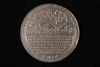
LZT19B44_314
L. van Teylingen, Medal with map of North and Sout...
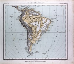
LZT16A02_320
South America Map, atlas by Th. von Liechtenstern ...
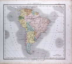
LZT16A02_319
South America Map, atlas by Th. von Liechtenstern ...
LZT16A62_003
Map of South America
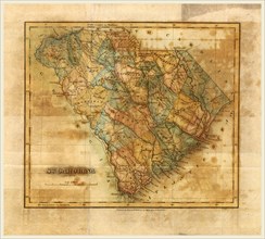
LZT16A62_147
Map South Carolina, Mills Atlas, US, America, 19th...
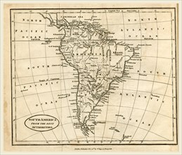
LZT16A63_127
Map of South America, 19th century engraving, Mitc...
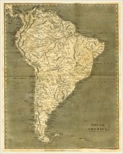
LZT16A62_032
Map of South America, 19th century engraving
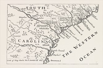
LZT13A39_329
MAP OF SOUTH CAROLINA IN 1730, BY H. MOLL, UNITED ...
LZT13A27_205
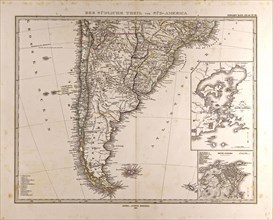
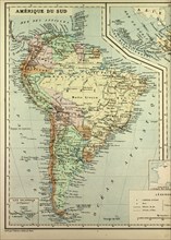
Map, South America, 1869
LZT13A26_333
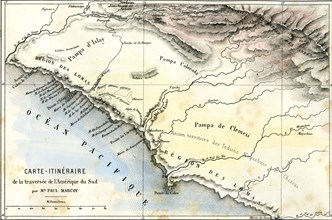
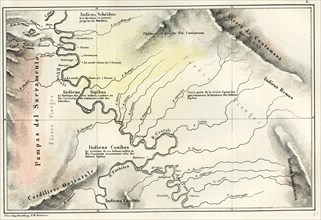
Map, 1869, Peru
LZT13A00_044
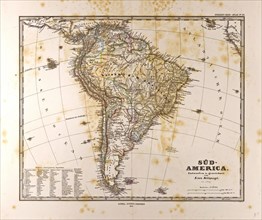
Map South America, Gotha, Justus Perthes, 1872, At...
LZT13A00_042
Map South America 1872, Gotha, Justus Perthes, 187...
LZT13A17_196
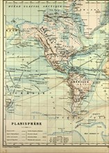
MAP OF NORTH AMERICA AND SOUTH AMERICA
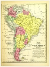
LZT13A17_089
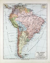
MAP OF SOUTH AMERICA, 1899
LZT13A17_194