14 results for: city map
- Page
-
- of
- 1
Please sign in for more results

GLS26A01_049
In-store interactive Help Center kiosk, Target dep...

GLS26A01_050
In-store interactive Help Center kiosk, Target dep...
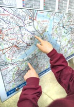
GLS25A04_062
Fingers pointing at outdoor city map, Boston
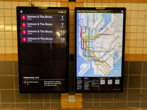
GLS25A04_142
New York City subway map and information board ann...
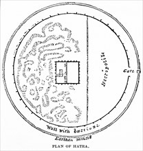
GLS22A07_003
Plan of Hatra
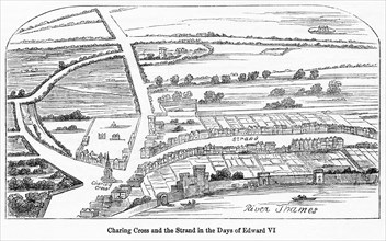
GLS22A05_317
Charing Cross and Strand
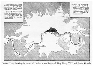
GLS22A05_321
Outline Plan showing the extent of London
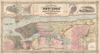
GLS19A05_439
City and County Map of New York, Brooklyn, William...
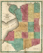
GLS19A05_441
Map of the County of Erie, by David H. Burr, Publi...
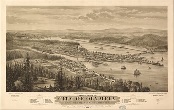
GLS19A00_362
Bird's Eye View of the city of Olympia, East Olymp...
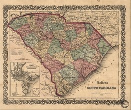
GLS19A01_211
Colton's South Carolina 1865, J.H. Colton
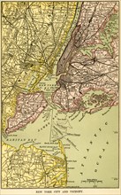
GLS18A19_292
New York and Vicinity Map
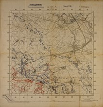
GLS18A29_064
Top Secret World War I Map of Northeastern France ...
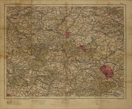
GLS18A29_063