390 results for: ruhr island
- Page
-
- of
- 4
Please sign in for more results
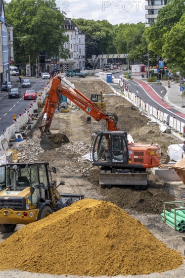
BRK26A90_188
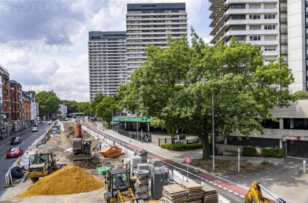
Renovation of the Dickswall street in the centre o...
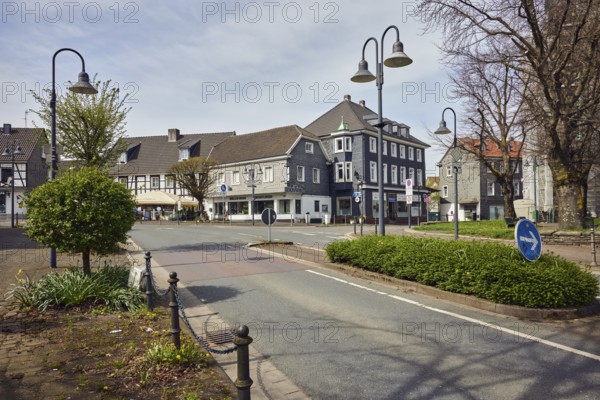
BRK26A10_126
Residential and commercial buildings, houses, gene...
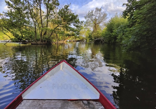
BRK26A38_218
View from a rowing boat onto the Ruhr with an over...
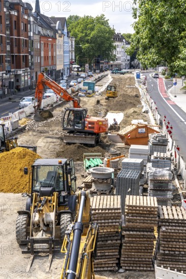
BRK25M40_409
Renovation of the Dickswall street in the centre o...
BRK25M40_410
Renovation of the Dickswall street in the centre o...
BRK25L74_450
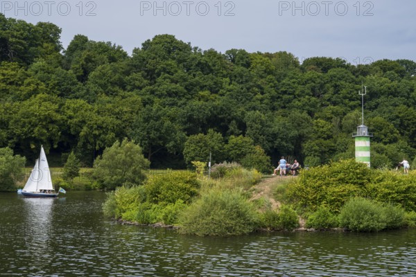
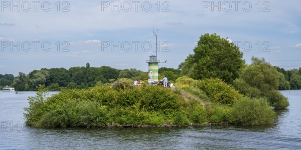
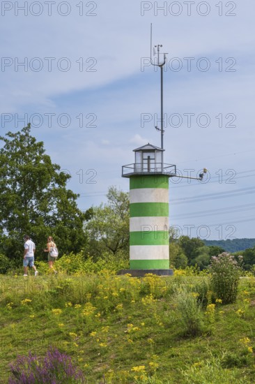
Lighthouse on an island on Lake Kemnader, people o...
BRK25L26_484
Lighthouse on an island on Lake Kemnader, people o...
BRK25L26_483
Lighthouse on an island on Lake Kemnader, people o...
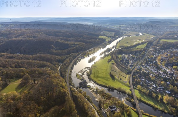
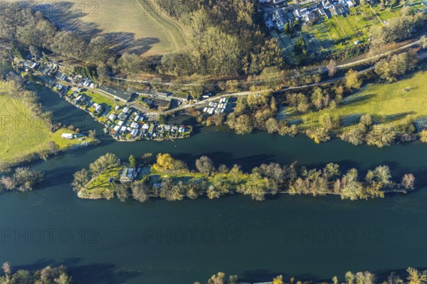
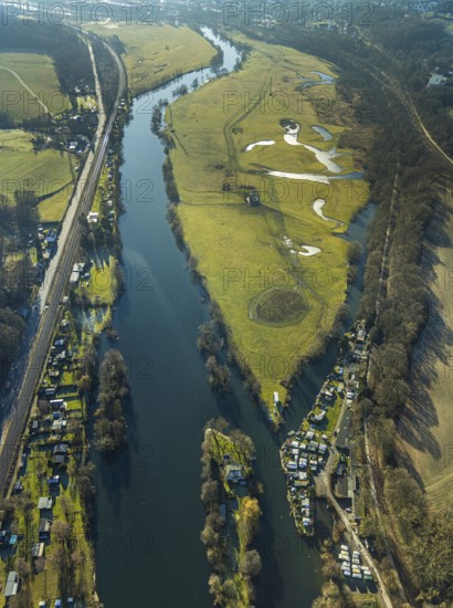
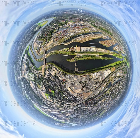
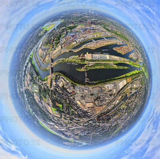
BRK25K33_330
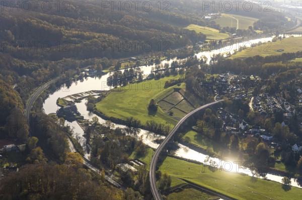
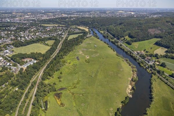
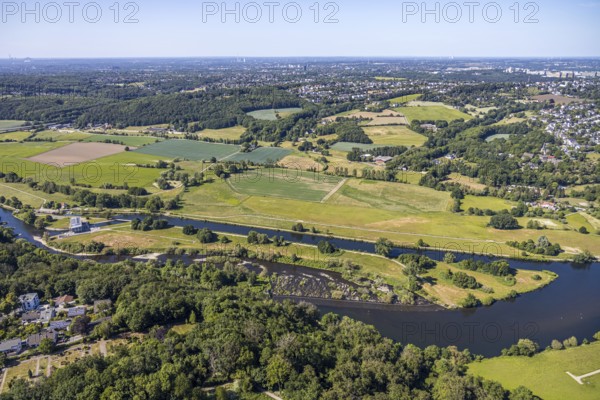
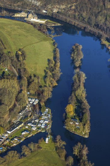
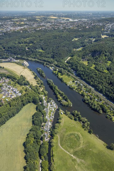
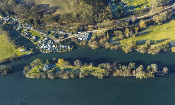
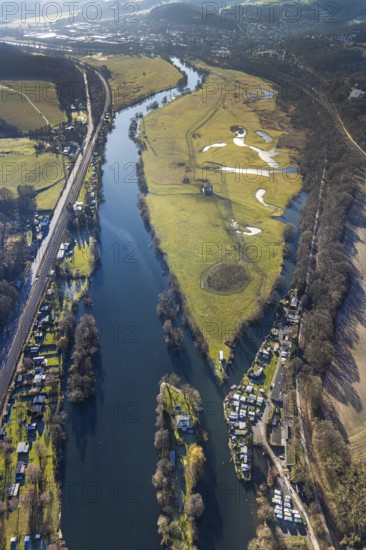
Aerial view, Ruhr river, Ruhr island, Ruhr viaduct...
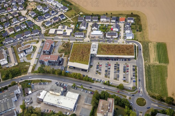
BRK25K47_054
Aerial view, commercial area Höseler Straße, Rügen...
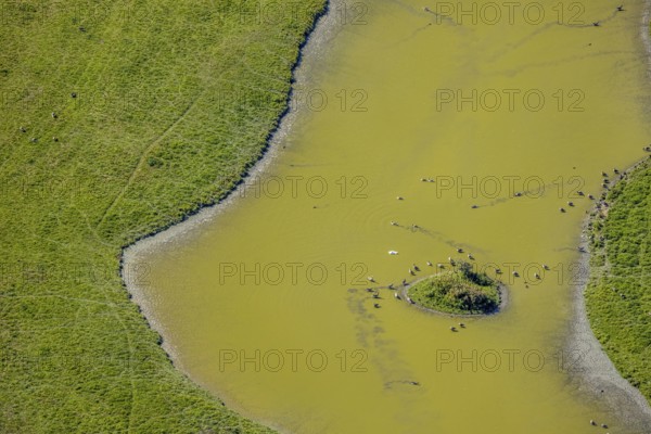
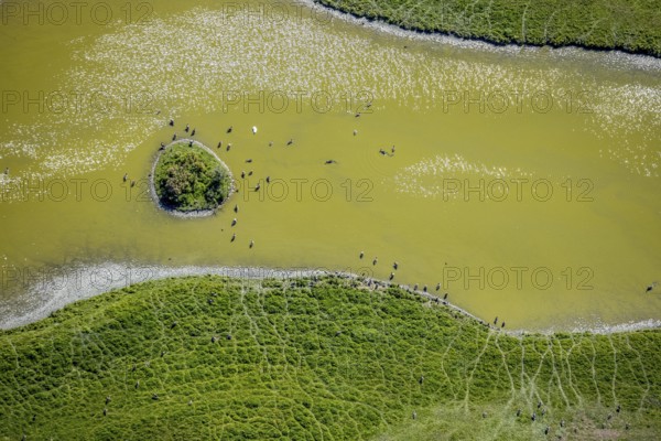
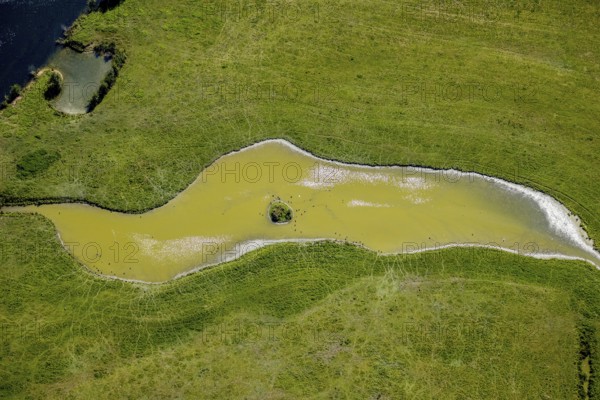
BRK25K48_112
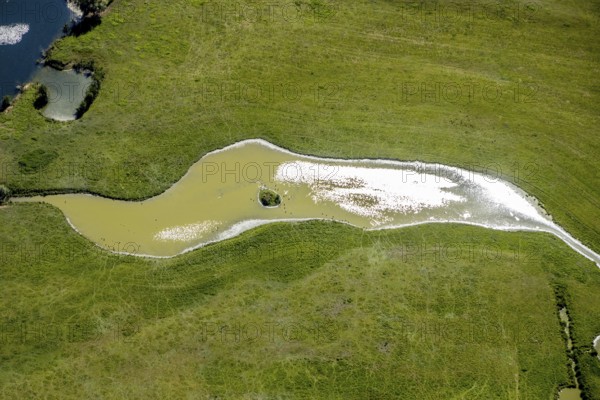
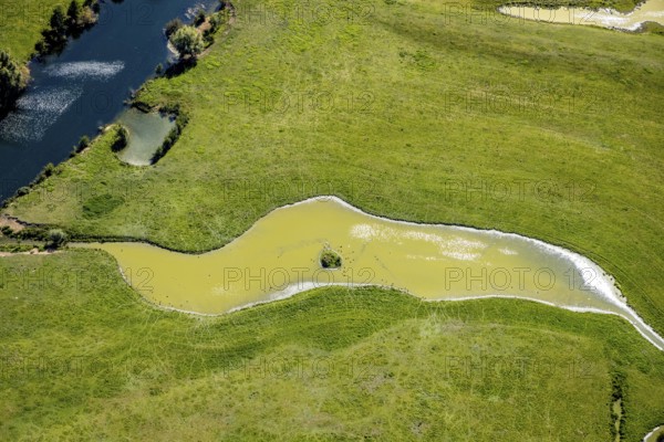
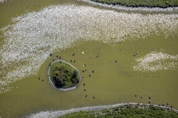
Aerial view, pond with island and water birds in t...
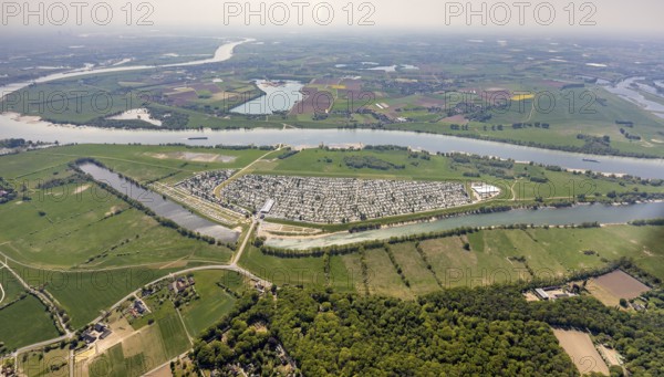
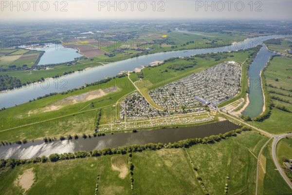
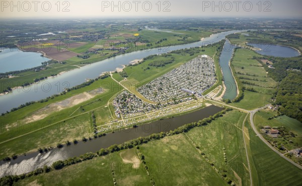
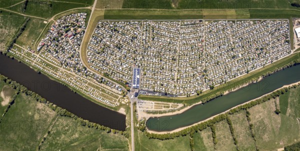
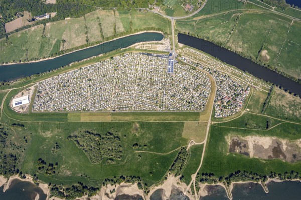
BRK25K32_280
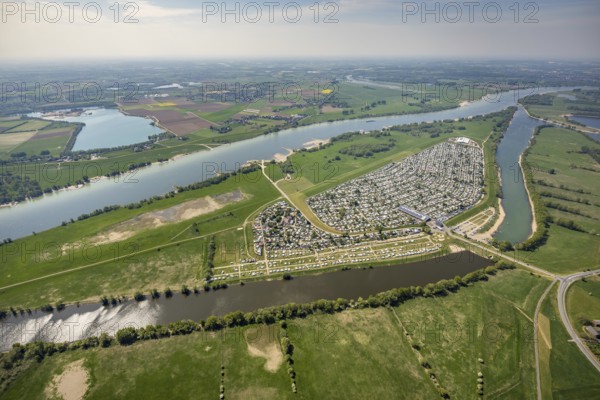
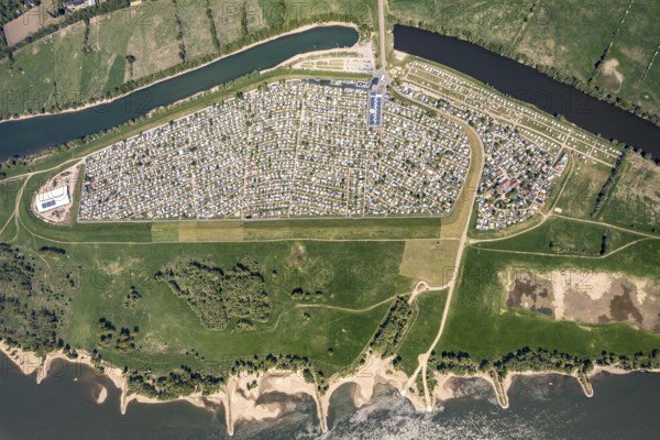
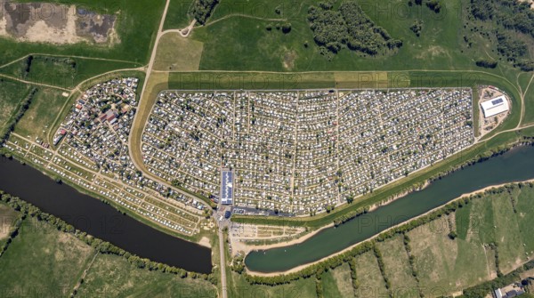
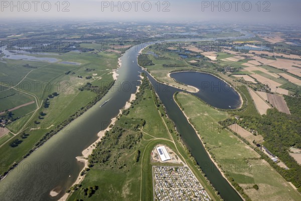
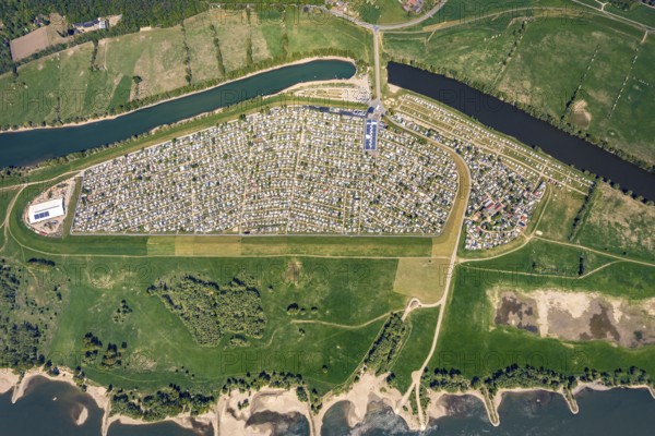
Aerial view, camping site Grav Insel on the Rhine,...
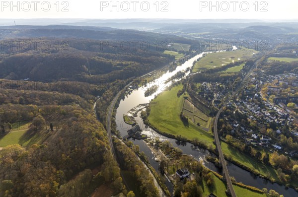
BRK25K33_348
Aerial view, Ruhr river, Ruhr island, Ruhr viaduct...
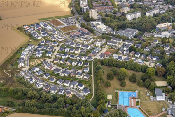
BRK25K47_012
Aerial view, Höseler Straße commercial area, Rügen...
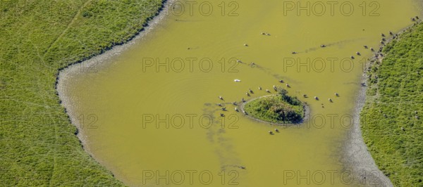
BRK25K48_113
Aerial view, pond with island and water birds in t...
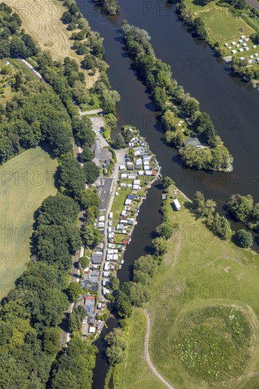
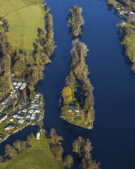
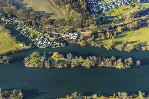
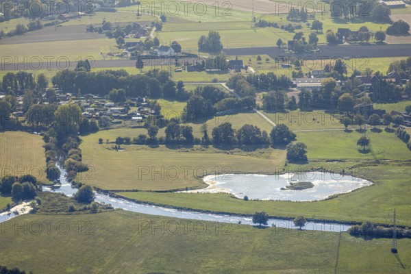
BRK25K33_078
Aerial view, Steger campsite, Ruhr river, Ruhr isl...
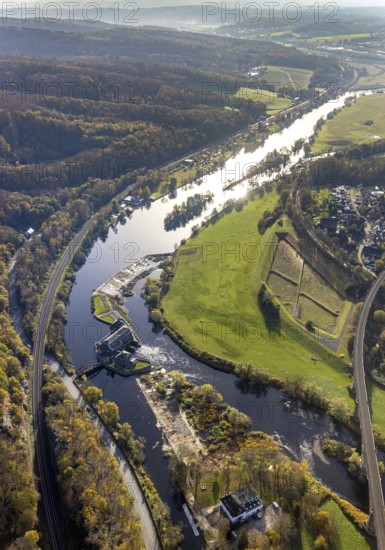
BRK25K33_377
Aerial view, Ruhr river, Ruhr island, Ruhr viaduct...
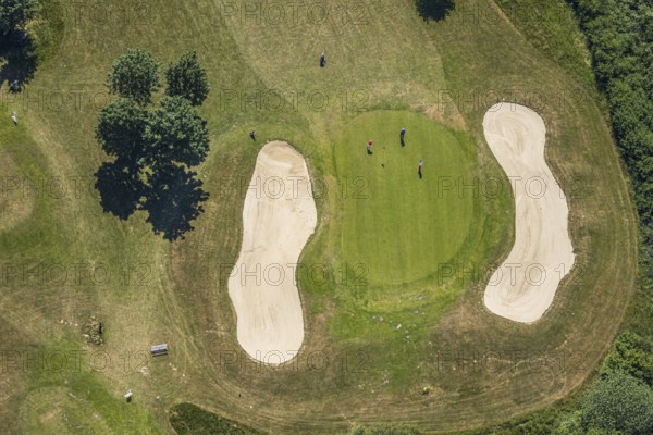
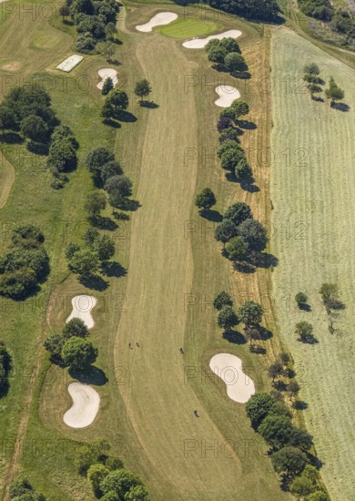
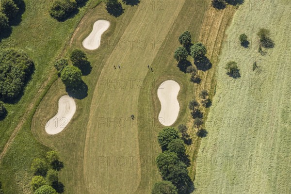
BRK25K33_419
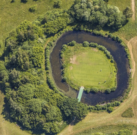
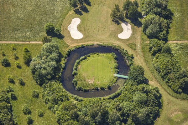
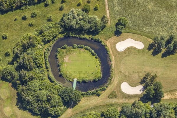
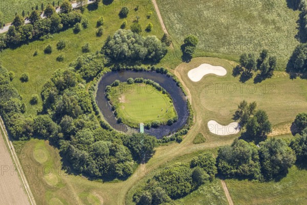
Aerial view, golf course golf club Op de Niep, Neu...
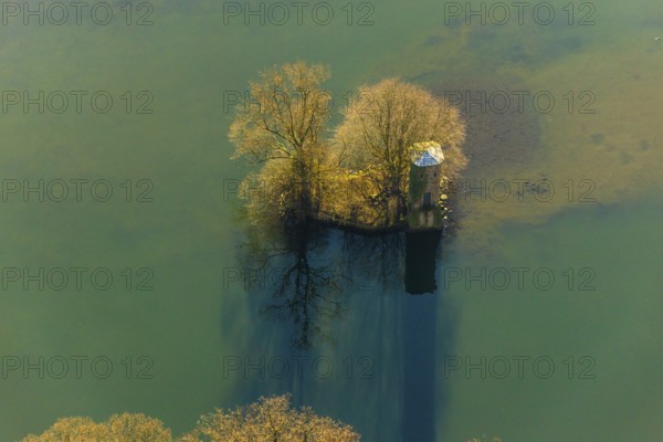
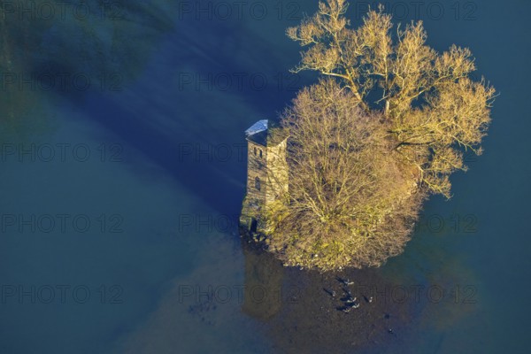
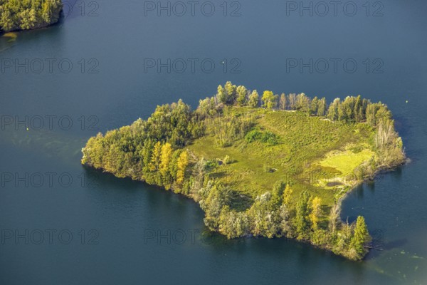
BRK25K47_073
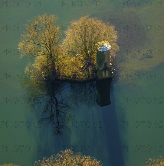
Aerial view, mouse tower on an island in the Hengs...
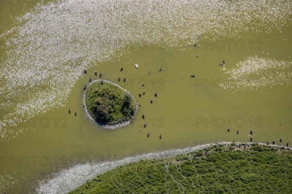
BRK25K48_103
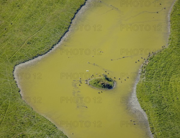
Aerial view, pond with island and water birds in t...
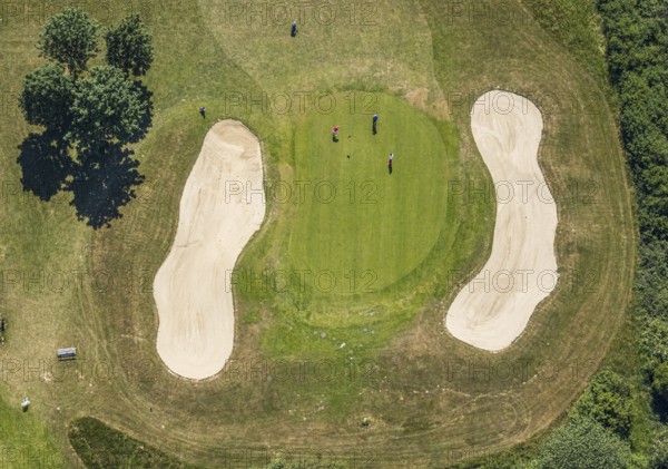
BRK25K33_418
Aerial view, golf course golf club Op de Niep, Neu...
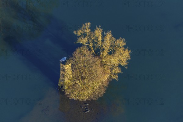
BRK25K47_021
Aerial view, mouse tower on an island in the Hengs...
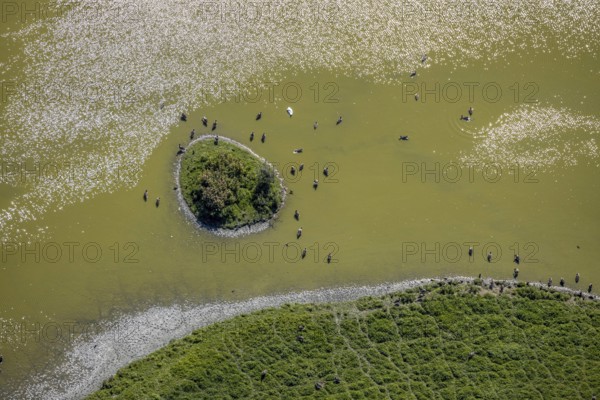
BRK25K48_109
Aerial view, pond with island and water birds in t...
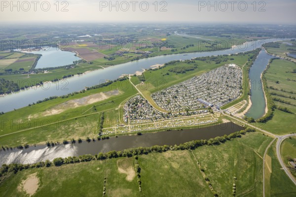
BRK25K32_273
Aerial view, camping site Grav Insel on the Rhine,...
BRK25K33_054
Aerial view, Steger campsite, Ruhr river, Ruhr isl...
BRK25K33_420
Aerial view, golf course golf club Op de Niep, Neu...
BRK25K47_075
Aerial view, mouse tower on an island in the Hengs...
BRK25K32_271
Aerial view, camping site Grav Insel on the Rhine,...
BRK25K33_053
Aerial view, Steger campsite, Ruhr river, Ruhr isl...
BRK25K33_426
Aerial view, golf course golf club Op de Niep, Neu...
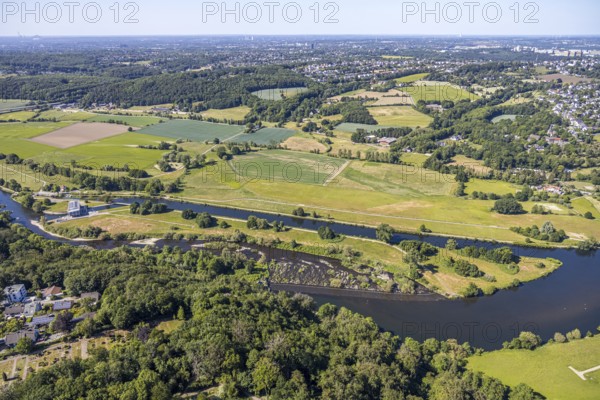
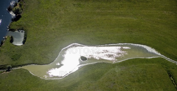
BRK25K46_355
Aerial view, river Ruhr, lock canal, waterworks St...
BRK25K32_191
Aerial view, camping site Grav Insel am Rhein, Aue...
BRK25K33_333
Aerial view, Ruhr river, Ruhr island, Ruhr viaduct...
BRK25K33_405
Aerial view, golf course golf club Op de Niep, Neu...
BRK25K47_072
Aerial view, mouse tower on an island in the Hengs...
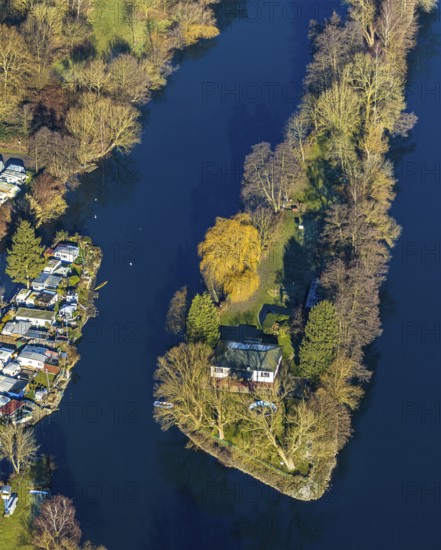
BRK25K47_169
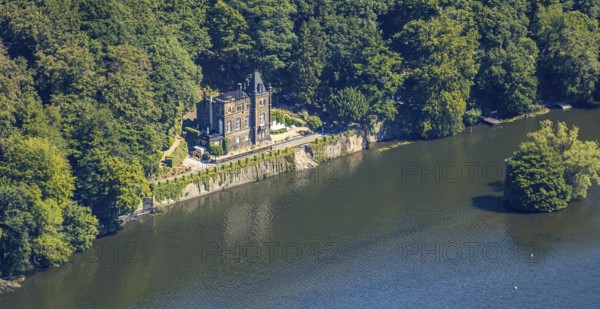
Aerial view, Seeschlösschen Niedernhof, Hengsteyse...
BRK25K32_274
Aerial view, camping site Grav Insel on the Rhine,...
BRK25K33_085
Aerial view, Steger campsite, Ruhr river, Ruhr isl...
BRK25K33_406
Aerial view, golf course golf club Op de Niep, Neu...
BRK25K32_276
Aerial view, camping site Grav Insel on the Rhine,...
BRK25K46_356
Aerial view, river Ruhr, lock canal, waterworks St...
BRK25K48_111
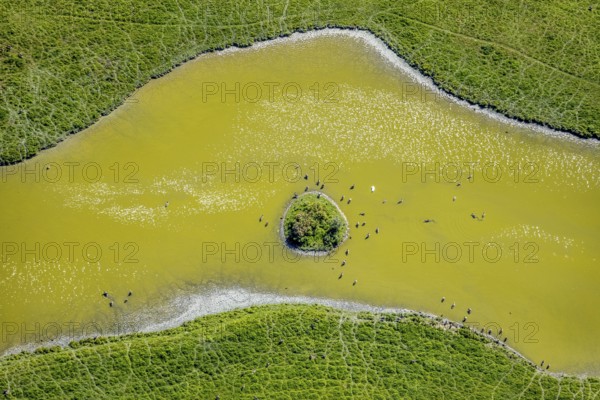
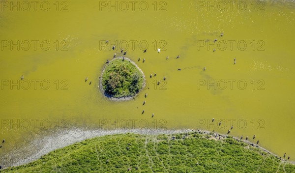
Aerial view, pond with island and water birds in t...
BRK25K32_277
Aerial view, camping site Grav Insel on the Rhine,...
BRK25K48_099
Aerial view, pond with island and water birds in t...
BRK25K48_110
Aerial view, pond with island and water birds in t...
BRK25K32_269
Aerial view, camping site Grav Insel am Rhein, car...
BRK25K33_055
Aerial view, Steger campsite, Ruhr river, Ruhr isl...
BRK25K33_082
Aerial view, Steger campsite, Ruhr river, Ruhr isl...
BRK25K48_101
Aerial view, pond with island and water birds in t...
BRK25K48_107
Aerial view, pond with island and water birds in t...
BRK25K32_275
Aerial view, camping site Grav Insel on the Rhine,...
BRK25K33_056
Aerial view, Steger campsite, Ruhr river, Ruhr isl...
BRK25K48_102
Aerial view, pond with island and water birds in t...
BRK25K48_114
Aerial view, pond with island and water birds in t...
BRK25K33_052
Aerial view, Steger campsite, Ruhr river, Ruhr isl...
BRK25K48_078
Aerial view, pond with island and water birds in t...
BRK25K48_085
Aerial view, nature reserve Heidemühle, river Lipp...
BRK25K33_051
Aerial view, Steger campsite, Ruhr river, Ruhr isl...
BRK25K32_279
Aerial view, camping site Grav Insel on the Rhine,...
BRK25K33_049
Aerial view, Steger campsite, Ruhr river, Ruhr isl...
BRK25K33_409
Aerial view, golf course golf club Op de Niep, Neu...
BRK25K32_278
Aerial view, camping site Grav Insel on the Rhine,...
BRK25K33_048
Aerial view, Steger campsite, Ruhr river, Ruhr isl...
BRK25K33_407
Aerial view, golf course golf club Op de Niep, Neu...
BRK25K48_105
Aerial view, pond with island and water birds in t...
BRK25J71_345
Aerial view, Elbsee Island, Unterbach, Düsseldorf,...
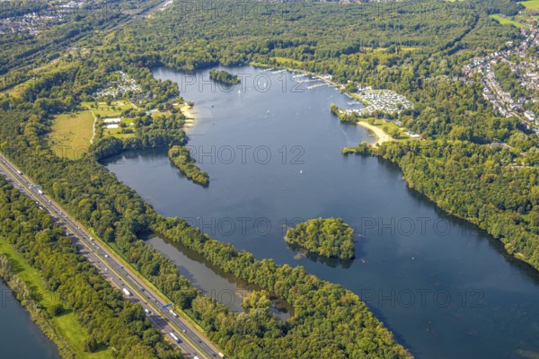
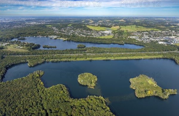
BRK25J71_401
Aerial view, Unterbacher See with lido and campsit...
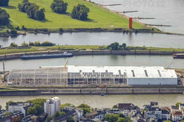
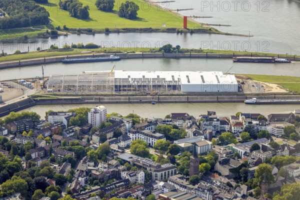
BRK25J86_246
Aerial view, logistics hall construction site and ...
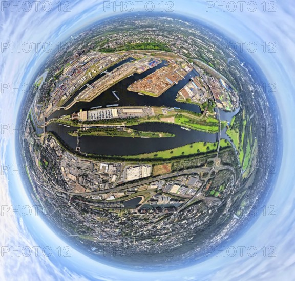
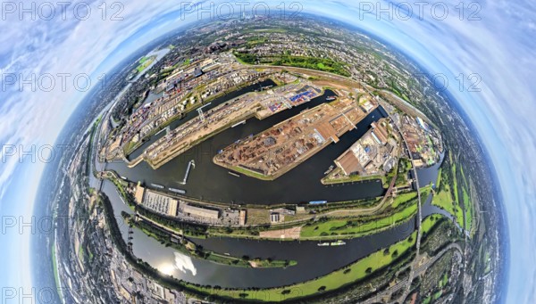
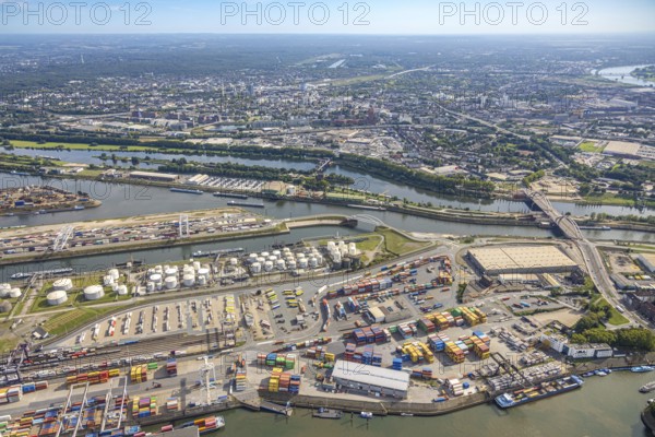
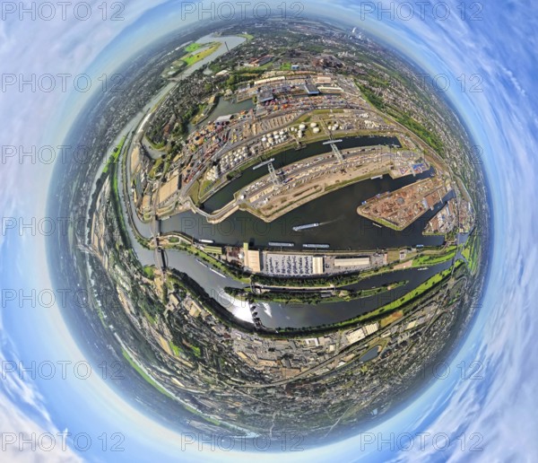
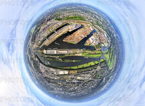
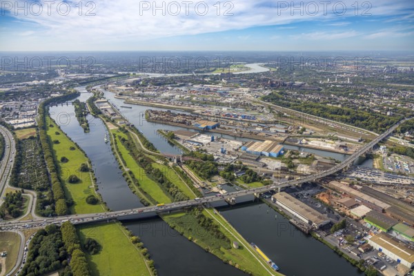
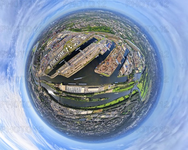
BRK25J86_249
Aerial view, Duisburg-Ruhrort harbour with oil isl...
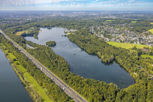
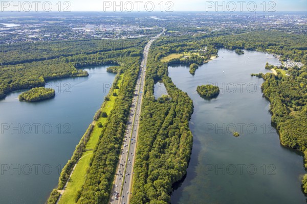
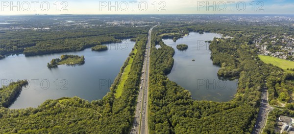
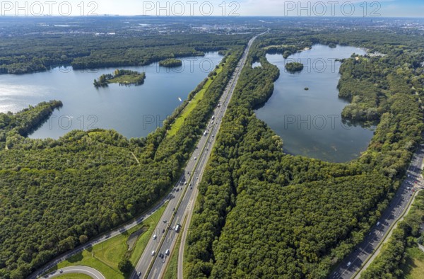
BRK25J71_352
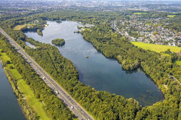
Aerial view, Elbsee and Elbsee Island, A46 motorwa...
BRK25J71_417
Aerial view, Unterbacher See with lido and campsit...
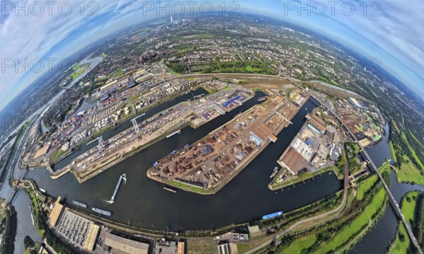
BRK25J86_244
Aerial view, logistics hall construction site and ...
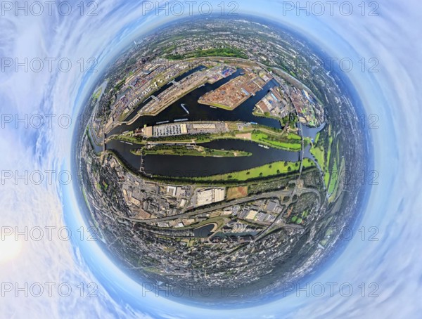
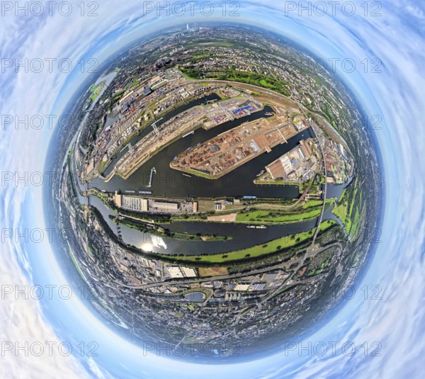
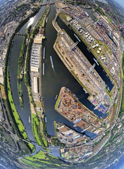
BRK25J86_250
Aerial view, Duisburg-Ruhrort harbour with oil isl...
BRK25J71_343
Aerial view, Unterbacher See with lido and campsit...
BRK25J71_416
Aerial view, Unterbacher See with lido and campsit...
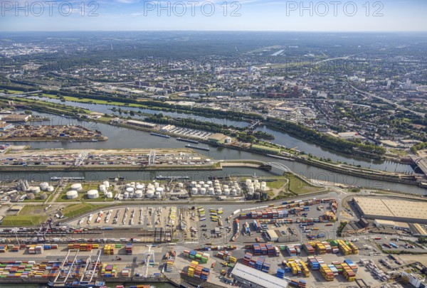
BRK25J86_257
Aerial view, Duisburg-Ruhrort harbour with oil isl...
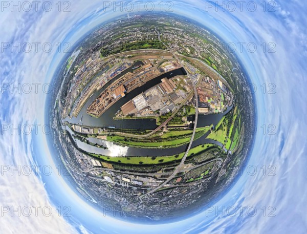
BRK25J86_259
Aerial view, Duisburg-Ruhrort harbour with oil isl...
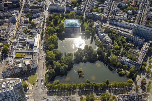
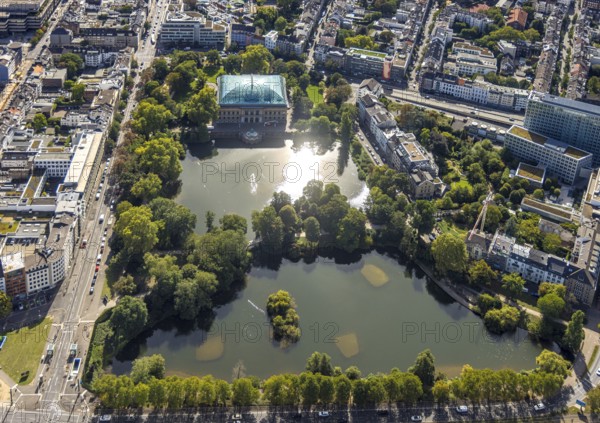
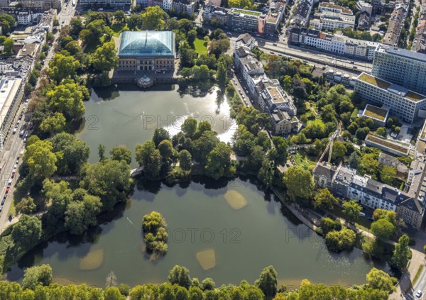
BRK25J73_077
Aerial view, Ständehauspark with Ständehaus, Kaise...
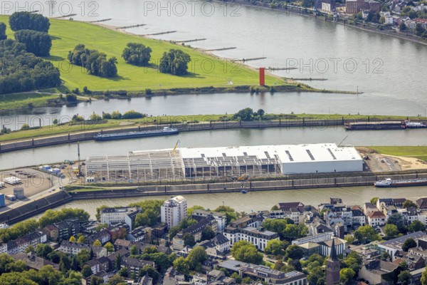
BRK25J86_247
Aerial view, logistics hall construction site and ...
BRK25J86_277
Aerial view, Duisburg-Ruhrort harbour with oil isl...
BRK25J71_415
Aerial view, Elbsee with Elbsee island and Unterba...
BRK25J73_047
Aerial view, Ständehauspark with Ständehaus, Kaise...
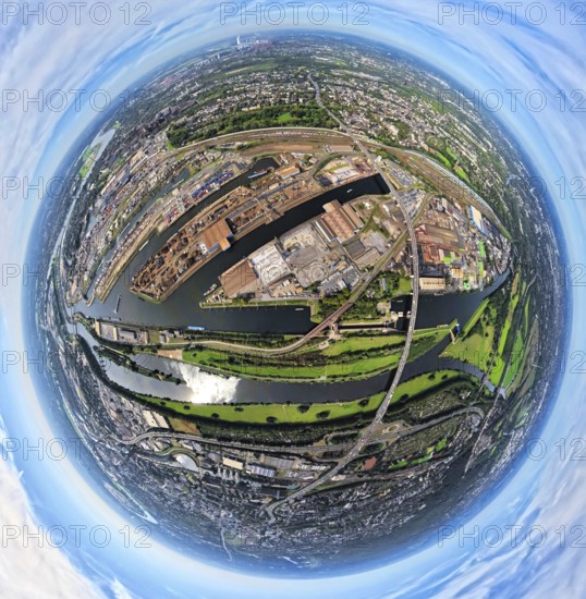
BRK25J86_242
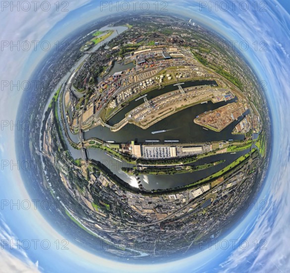
Aerial view, Duisburg harbour with Ruhrort contain...
BRK25J86_253
Aerial view, Duisburg-Ruhrort harbour with oil isl...
BRK25J86_275
Aerial view, harbour Duisburg-Ruhrort with oil isl...
BRK25J71_412
Aerial view, Elbsee with Elbsee island and Unterba...
BRK25J73_096
Aerial view, Ständehauspark with Ständehaus, Kaise...
BRK25J86_251
Aerial view, Duisburg-Ruhrort harbour with oil isl...
BRK25J86_258
Aerial view, harbour Duisburg-Ruhrort with oil isl...
BRK25J71_389
Aerial view, Elbsee with Elbsee island and Unterba...

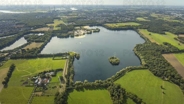
BRK25J81_411
Aerial view, Tenderingssee and lido, gravel works ...
BRK25J86_276
Aerial view, harbour Duisburg-Ruhrort with oil isl...
BRK25J86_248
Aerial view, Duisburg-Ruhrort harbour with oil isl...
BRK25J86_254
Aerial view, duisport port Duisburg with oil islan...
BRK25J86_273
Aerial view, Duisburg-Ruhrort harbour with oil isl...
BRK25J86_284
Aerial view, Duisburg harbour with Ruhrort contain...
BRK25J86_252
Aerial view, Duisburg-Ruhrort harbour with oil isl...
BRK25J86_274
Aerial view, Duisburg-Ruhrort harbour with oil isl...
BRK25J81_412
Aerial view, Tenderingssee and lido, gravel works ...
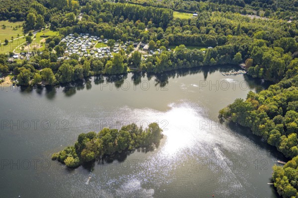
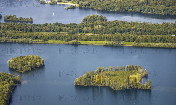
BRK25J71_375
Aerial view, wooded island and campsite south Unte...
- Page
-
- of
- 4