1960 results for: ruhr floods
- Page
-
- of
- 20
Please sign in for more results
BRK26C72_002
Dinslaken, Voerde, North Rhine-Westphalia, Germany...
BRK26C65_108
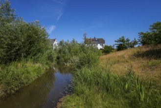
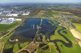
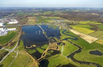
Bottrop, North Rhine-Westphalia, Germany, Renatura...
BRK26C73_003
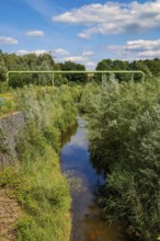
Oberhausen, Ruhr area, North Rhine-Westphalia, Ger...
BRK26C77_167
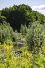
Haltern, North Rhine-Westphalia, Germany, flood pr...
BRK26C94_273
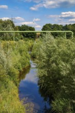
Oberhausen, Ruhr area, North Rhine-Westphalia, Ger...
BRK26C10_466
Cargo ship, Krefeld-Uerdinger bridge across the Rh...
BRK26C49_299
Bottrop, North Rhine-Westphalia, Germany - Renatur...
BRK26C49_298
Bottrop, North Rhine-Westphalia, Germany - Renatur...
BRK26C49_449
Dortmund, Castrop-Rauxel, North Rhine-Westphalia, ...
BRK26B60_418
Kanalbrücke Lippe Neue Fahrt, Dortmund-Ems Canal, ...
BRK26B41_095
Bottrop, North Rhine-Westphalia, Germany - Renatur...
BRK26B41_096
Bottrop, North Rhine-Westphalia, Germany - Renatur...
BRK26B41_094
Bottrop, North Rhine-Westphalia, Germany - Renatur...
BRK26B51_500
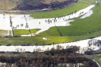
Newly created lake, flooded path, Ostholz nature r...
BRK26B52_001
Newly created lake, flooded path, Ostholz nature r...
BRK26B41_421
Dortmund, Castrop-Rauxel, North Rhine-Westphalia, ...
BRK26A89_300
Recklinghausen, North Rhine-Westphalia, Germany - ...
BRK26A89_301
Recklinghausen, North Rhine-Westphalia, Germany - ...
BRK26A89_416
Dortmund, Castrop-Rauxel, North Rhine-Westphalia, ...
BRK26A31_029
Bottrop, North Rhine-Westphalia, Germany - Renatur...
BRK26A31_223
Dortmund, Castrop-Rauxel, North Rhine-Westphalia, ...

BRK26A31_032
Bottrop, North Rhine-Westphalia, Germany - Renatur...
BRK26A30_235
Recklinghausen, North Rhine-Westphalia, Germany - ...
BRK26A30_234
Recklinghausen, North Rhine-Westphalia, Germany - ...
BRK26A31_030
Bottrop, North Rhine-Westphalia, Germany - Renatur...
BRK26A31_031
Bottrop, North Rhine-Westphalia, Germany - Renatur...
BRK25M16_093
Recklinghausen, North Rhine-Westphalia, Germany - ...

BRK25M82_351
Recklinghausen, North Rhine-Westphalia, Germany - ...
BRK25M16_094
Recklinghausen, North Rhine-Westphalia, Germany - ...

BRK25M84_452
Dortmund, Castrop-Rauxel, North Rhine-Westphalia, ...
BRK25M84_110
Bottrop, North Rhine-Westphalia, Germany - Renatur...

BRK25M84_111
Bottrop, North Rhine-Westphalia, Germany - Renatur...

BRK25M84_113
Bottrop, North Rhine-Westphalia, Germany - Renatur...

BRK25M84_453
Dortmund, Castrop-Rauxel, North Rhine-Westphalia, ...

BRK25M19_453
Dortmund, Castrop-Rauxel, North Rhine-Westphalia, ...
BRK25M82_352
Recklinghausen, North Rhine-Westphalia, Germany - ...

BRK25M19_454
Dortmund, Castrop-Rauxel, North Rhine-Westphalia, ...
BRK25M84_112
Bottrop, North Rhine-Westphalia, Germany - Renatur...
BRK25L94_152
Bottrop, North Rhine-Westphalia, Germany - Renatur...
BRK25L94_153
Bottrop, North Rhine-Westphalia, Germany - Renatur...
BRK25L94_150
Bottrop, North Rhine-Westphalia, Germany - Renatur...
BRK25L71_239
Bottrop, North Rhine-Westphalia, Germany - Autumn ...
BRK25L89_370
Recklinghausen, North Rhine-Westphalia, Germany - ...
BRK25L71_241
Castrop-Rauxel, North Rhine-Westphalia, Germany - ...
BRK25L94_154
Bottrop, North Rhine-Westphalia, Germany - Renatur...
BRK25L71_240
Castrop-Rauxel, North Rhine-Westphalia, Germany - ...
BRK25L89_369
Recklinghausen, North Rhine-Westphalia, Germany - ...
BRK25L94_151
Bottrop, North Rhine-Westphalia, Germany - Renatur...
BRK25L94_155
Bottrop, North Rhine-Westphalia, Germany - Renatur...
BRK25L97_372
Dortmund, Castrop-Rauxel, North Rhine-Westphalia, ...
BRK25L94_156
Bottrop, North Rhine-Westphalia, Germany - Renatur...
BRK25L97_371
Dortmund, Castrop-Rauxel, North Rhine-Westphalia, ...
BRK25L19_193
Bottrop, North Rhine-Westphalia, Germany - Autumn ...
BRK25L19_196
Bottrop, North Rhine-Westphalia, Germany - Autumn ...

BRK25L19_194
Castrop-Rauxel, North Rhine-Westphalia, Germany - ...
BRK25L19_195
Castrop-Rauxel, North Rhine-Westphalia, Germany - ...
BRK25K30_159
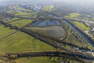
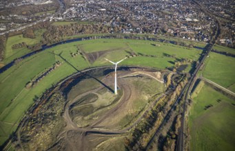
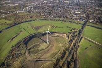
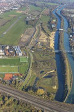
Aerial view, Styrumer Ruhrbogen, Ruhrwiesen, landf...
BRK25K30_185
Aerial view, sewage sludge landfill at Styrumer Ru...
BRK25K30_184
Aerial view, Styrumer Ruhrbogen, Ruhrwiesen, landf...
BRK25K49_033
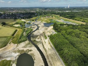
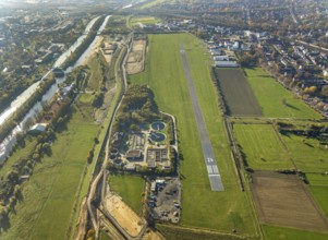
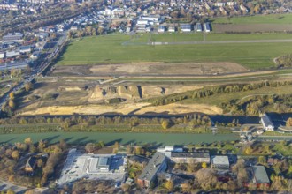
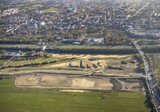
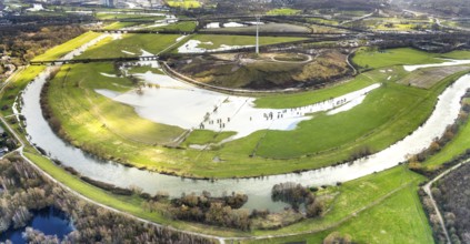
Aerial photo, Lippe reconstruction Hamm, Lippe flo...
BRK25K30_182
Aerial view, Styrumer Ruhrbogen, Ruhrwiesen, landf...
BRK25K48_493
Aerial photo, Lippe reconstruction Hamm, Lippe flo...
BRK25K49_003
Aerial photo, Lippe reconstruction Hamm, Lippe flo...
BRK25K30_163
Aerial view, Styrumer Ruhrbogen, Ruhrwiesen, landf...
BRK25K30_338
Aerial view, Styrumer Ruhrbogen, city triangle Dui...

BRK25K32_169
Aerial view, Styrumer Ruhrbogen, Ruhrwiesen, landf...
BRK25K49_144
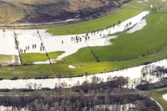
Aerial view, Flooded Lippe floodplain on the A2 mo...

BRK25K30_162
Aerial view, Styrumer Ruhrbogen, Ruhrwiesen, landf...
BRK25K30_339
Aerial view, Styrumer Ruhrbogen, city triangle Dui...
BRK25K32_185
Aerial view, Styrumer Ruhrbogen, Ruhrwiesen, landf...
BRK25K49_146
Aerial view, Flooded Lippe floodplain on the A2 mo...
BRK25K30_161
Aerial view, Styrumer Ruhrbogen, Ruhrwiesen, landf...
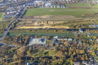
BRK25K40_305
Aerial view, Lippe meadows, construction site new ...
BRK25K30_160
Aerial view, Styrumer Ruhrbogen, Ruhrwiesen, landf...
BRK25K36_396
Aerial view, sewage sludge landfill at Ruhrbogen R...
BRK25K48_492
Aerial photo, Lippe reconstruction Hamm, Lippe flo...
BRK25K30_342
Aerial view, Styrumer Ruhrbogen, landfill Kolkerho...
BRK25K40_306
Aerial photo, construction site new sheet pile wal...
BRK25K48_491
Aerial photo, Lippe reconstruction Hamm, Lippe flo...
BRK25K48_500
Aerial photo, Lippe reconstruction Hamm, Lippe flo...
BRK25K30_341
Aerial view, Styrumer Ruhrbogen, city triangle Dui...
BRK25K48_494
Aerial photo, Lippe reconstruction Hamm, Lippe flo...
BRK25K49_001
Aerial photo, Lippe reconstruction Hamm, Lippe flo...
BRK25K30_340
Aerial view, Styrumer Ruhrbogen, landfill Kolkerho...
BRK25K48_490
Aerial photo, Lippe reconstruction Hamm, Lippe flo...
BRK25K49_002
Aerial photo, Lippe reconstruction Hamm, Lippe flo...
BRK25K30_183
Aerial view, Styrumer Ruhrbogen, Ruhrwiesen, landf...
BRK25K30_337
Aerial view, Styrumer Ruhrbogen, city triangle Dui...
BRK25K48_488
Aerial view, dam course, new Lippe dam, Lippe reco...
BRK25K49_006
Aerial photo, Lippe reconstruction Hamm, Lippe flo...
BRK25K49_023
Aerial photo, Lippe reconstruction Hamm, Lippe flo...
BRK25K30_181
Aerial view, Styrumer Ruhrbogen, Ruhrwiesen, landf...
BRK25K30_375
Aerial view, Styrumer Ruhrbogen, landfill Kolkerho...
BRK25K48_100
Aerial view, Lippe floodplain, Kornmersch, river L...
BRK25K48_489
Aerial view, dam course, new Lippe dam, Lippe reco...
BRK25K49_004
Aerial photo, Lippe reconstruction Hamm, Lippe flo...
BRK25K49_474
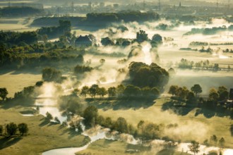
Aerial view, morning fog, Lippe river floodplain, ...
BRK25K30_373
Aerial view, Styrumer Ruhrbogen, landfill Kolkerho...
BRK25K32_379
Aerial view, industrial estate on the Ruhrauen, Ta...
BRK25K33_049
Aerial view, Steger campsite, Ruhr river, Ruhr isl...
- Page
-
- of
- 20