197 results for: route map
- Page
-
- of
- 2
Please sign in for more results

BRK26C67_115
The logo of the google maps is displayed on a smar...

BRK26C68_173
The Google maps go app from Google Playstore is di...
BRK26C98_244
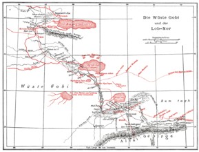
The Gobi Desert with Lop Nur or Lop Nor, East Asia...
BRK26C85_048
Oberhausen, North Rhine-Westphalia, Germany, Gasom...
BRK26C06_086
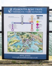
Information sign notice for Waterlink Ferry Networ...
BRK26C19_086
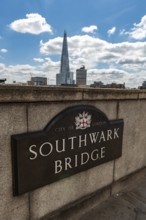
London, United Kingdom. July 9th 2022 Sign for the...
BRK26C32_412
Silver figure explorer traveling by Ekaterina Kova...
BRK26C32_414
Silver figure explorer traveling by Ekaterina Kova...
BRK26C13_486
A traveler wearing a red jacket and backpack walks...
BRK26C33_303
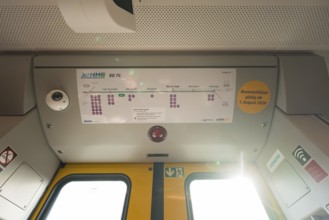
The interior of a train with a route plan and ligh...

BRK26C53_004
Dhaka, Bangladesh- 07 May 2025: Google Maps app ic...

BRK26B98_459
Dhaka, Bangladesh- 28 Oct 2025: An iPad displaying...

BRK26B98_467
Dhaka, Bangladesh- 30 Oct 2025: Google Maps app di...

BRK26B98_440
Dhaka, Bangladesh- 01 Dec 2025: A close-up of the ...

BRK26B98_461
Dhaka, Bangladesh- 30 Oct 2025: Google maps app on...

BRK26B96_095
Dhaka, Bangladesh- 01 Dec 2025: Google maps and Ap...

BRK26B98_464
Dhaka, Bangladesh- 24 Oct 2025: A iPad screen disp...
BRK26B98_444
Dhaka, Bangladesh - 15 March 2025: The app of the ...

BRK26B96_112
16 Nov 2025- Dhaka, Bangladesh: Close-up of Apple ...

BRK26B98_450
16 Nov 2025- Dhaka, Bangladesh: Stylus touching th...
BRK26A90_083
Woman driving a car, holding the steering wheel wi...
BRK26A90_091
Close up of passenger using navigation system on c...
BRK26A90_125
Woman driving a car while interacting with the nav...
BRK26A05_086
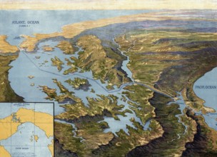
Panama Canal in 1913, map, Panama, authentic repro...
BRK26A51_429
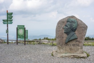
Heinrich Heine memorial, Heine memorial on the sum...

BRK25M21_089
Woman wearing sunglasses driving a modern car and ...
BRK25M60_210
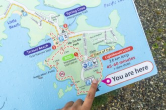
Tourist pointing at you are here indicator on a we...

BRK25M44_285
A woman with curly hair is focused on driving a ca...

BRK25L58_440
Smiling woman with headphones validating a contact...
BRK25L15_021
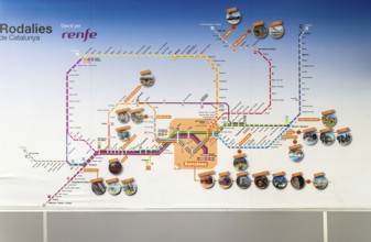
Rodalies de Catalunya rail network map services op...

BRK25K53_422
Rodalies de Catalunya, Rodalia de Barcelona suburb...

BRK25K53_413
Rodalies de Catalunya rail network map services op...
BRK25K87_298
Aerial view, villa hill and hill park with autumna...

BRK25J92_494
A serene desert landscape painting depicts a river...
BRK25J62_375
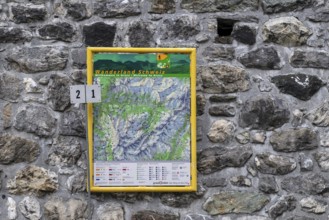
Hiking map hiking trails, Arosa, Graubünden, Switz...
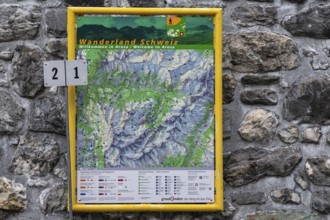
BRK25J62_374
Hiking map hiking trails, Arosa, Graubünden, Switz...
BRK25J40_422
Mannheim, Germany - August 31st 2025: Information ...
BRK25I78_336
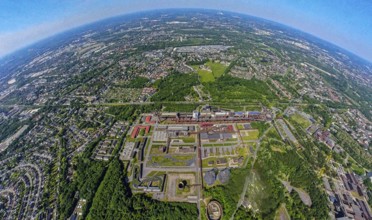
Aerial view, coking plant Zeche Zollverein, UNESCO...
BRK25I72_248
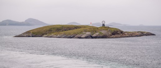
Arctic Circle Globe, Vikingen Island, Tonnes, Nord...
BRK25I78_312
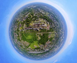
Aerial view, coking plant Zeche Zollverein, UNESCO...
BRK25I72_253
Arctic Circle Globe, Vikingen Island, Tonnes, Nord...
BRK25I78_313
Aerial view, coking plant Zeche Zollverein, UNESCO...
BRK25I72_249
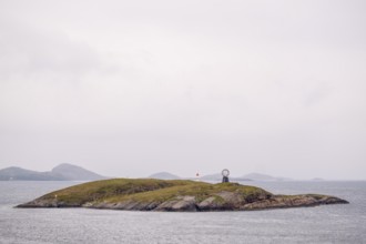
Arctic Circle Globe, Vikingen Island, foaming spra...
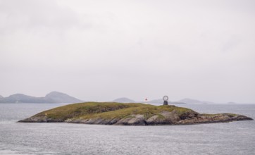
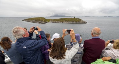
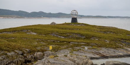
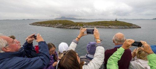
BRK25I72_262
Arctic Circle Globe, Polar Circle Globe, Vikingen ...
BRK25I72_259
Arctic Circle Globe, Polar Circle Globe, Vikingen ...
BRK25I72_256
Arctic Circle Globe, Vikingen Island, Tonnes, Nord...
BRK25I72_257
Arctic Circle Globe, Polar Circle Globe, Vikingen ...
BRK25I72_260
Arctic Circle Globe, Vikingen Island, Tonnes, Nord...
BRK25I72_258
Arctic Circle Globe, Polar Circle Globe, Vikingen ...
BRK25I78_315
Aerial view, coking plant Zeche Zollverein, UNESCO...
BRK25I72_261
Arctic Circle Globe, Polar Circle Globe, Vikingen ...
BRK25I78_314
Aerial view, coking plant Zeche Zollverein, UNESCO...

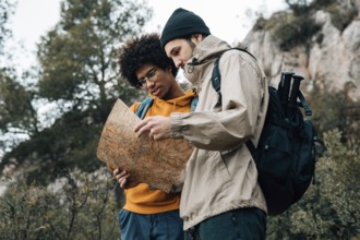
BRK25H71_003
Happy couple consulting a map on a train station p...

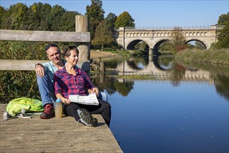
BRK25H78_346
Young tourists consulting a map on a train station...
BRK25G51_045
Top view globe world map. Resolution and high qual...

BRK25G94_486
Highly detailed planet Earth at night with embosse...
BRK25G50_353
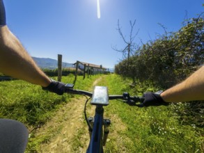
First person view of cyclist navigating a sunny tr...
BRK25G48_149
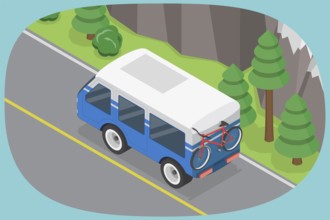
3D Isometric Flat Illustration of Car Summer Trave...
BRK25G09_064
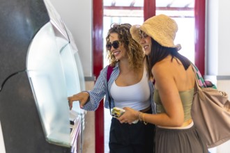
Two cheerful female tourists purchasing train tick...

BRK25G11_072
Happy tourists consulting map at train station whi...

BRK25G03_449
Woman with brown hair, gray t-shirt, jeans, red ba...

BRK25G05_088
The logo of the google maps is displayed on a smar...

BRK25F64_483
Theme travel and transportation. Beautiful young c...

BRK25E93_012
In the 1950s. A young couple at a travel agency st...

BRK25E86_373
Highly detailed planet Earth at night with embosse...
BRK25E55_126
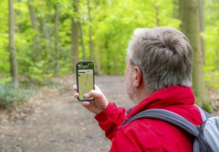
Symbolic image Hiking with smartphone and hiking a...
BRK25E43_003
Symbolic image Hiking with smartphone and hiking a...
BRK25E25_419
Symbolic image Hiking with smartphone and hiking a...
BRK25E26_071
Symbolic image Hiking with smartphone and hiking a...

BRK25D83_300
Young black woman pointing at a subway map while h...
BRK25D92_371
Oberhausen, North Rhine-Westphalia, Germany, Gasom...
BRK25D51_486
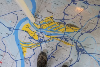
Aerial view of pavement map with routes of Portugu...
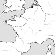
BRK25D12_011
Map of The FRENCH Lands: France & its regions — Îl...
BRK25D35_132
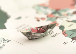
Small origami boat world map
BRK25D48_336
Low angle view hiker reading map while hiking natu...

BRK25D11_124
Highly detailed planet Earth at night with embosse...
BRK25D17_227
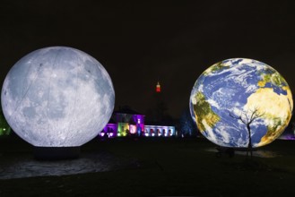
The Winter Lights will take place in the Palmengar...
BRK25C83_026
Oberhausen, North Rhine-Westphalia, Germany, Gasom...

BRK25B67_343
Hikers in the Steverauen Olfen, Alte Fahrt canal b...
BRK25B78_181
Museum of German Inland Navigation, in the former ...
BRK25B35_166
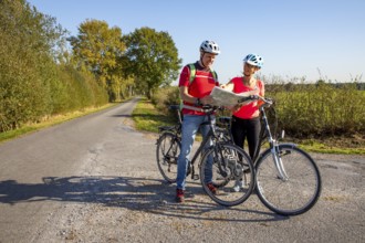
Cyclist, cycle tour in the Dingdener Heide nature ...
BRK25A81_262
Hikers in the Steverauen Olfen, Alte Fahrt canal b...
BRK25A52_342
Hikers in the Westruper Heide, heathland near Halt...
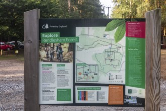
BRK25A54_140
Map and information sign by Forestry England at Re...
BRK25A87_082
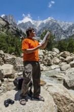
Hiker trekker studying map route on trek in Himala...
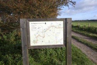
BRK25A15_161
Map of the Ridgeway long distance footpath dating ...
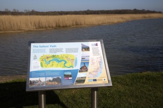
BRK25A03_367
Information about The Sailors' Path footpath from ...
BRK24I42_270
Cyclist, cycle tour in the Dingdener Heide nature ...
BRK24I28_403
Hikers on the Baldeneysteig, a 26-kilometre urban ...
BRK24I97_167
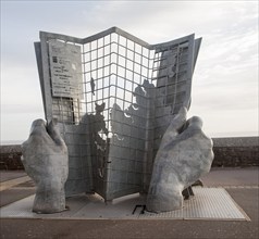
Sculpture marking the start and end point of the s...
BRK24I35_072
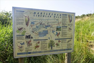
Sign for countryside circular walk, Martlesham, ne...
BRK24H09_310
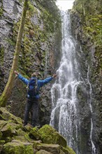
Tourist attraction of Germany, falls of Burgbach W...
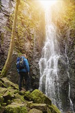
BRK24H10_175
Tourist attraction of Germany, falls of Burgbach W...
BRK24H12_057
Hikers in the Steverauen Olfen, Alte Fahrt canal b...
BRK24H23_042
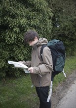
Model released young man hiker map reading
BRK24H55_436
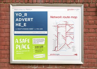
Greater Anglia rail network route map railway stat...
BRK24H41_432
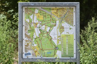
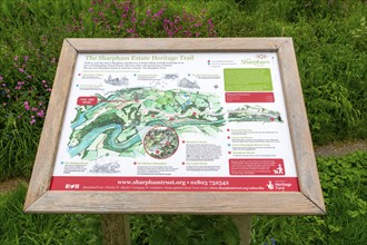
Information panel and map, Sharpham Estate Heritag...
BRK24H10_351
Tourist attraction of Germany, falls of Burgbach W...
BRK24G37_351
Hiking map at parking lot, path up to Hamarøyskaft...
BRK24E27_492
Red stamp with hiking sign on the Lahnwanderweg tr...
- Page
-
- of
- 2