11935 results for: near the river
- Page
-
- of
- 120
Please sign in for more results
BRK26C63_261
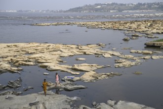
Women at the Congo River near the Malebo Pool, for...
BRK26C70_096
Winter, snowy landscape, river Breitach and hiking...
BRK26C76_428
Dense chestnut tree avenue at the Rhine dike near ...
BRK26C99_020
River L Estoublaisse, Trevans Gorge, Gorges de Tré...
BRK26C58_455
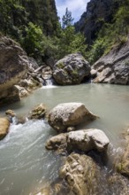
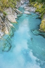
View of the blue pools on the Marokopa River, Haas...
BRK26C59_015
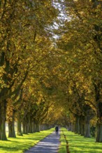
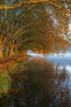
Autumn colours on the Platanen Allee, Hardenberg U...
BRK26C63_299
Schwarzwasser stream, near Riezlern, Kleinwalserta...
BRK26C63_380
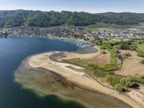
Aerial view of the mouth of the Stockacher Aach at...
BRK26C73_046
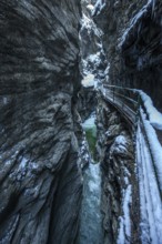
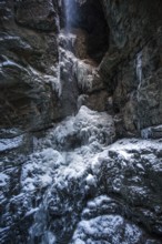
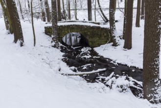
Winter, ice, icy waterfall in the Breitachklamm, n...
BRK26C81_412
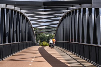
De Massover cycle path bridge, over the Meuse sout...
BRK26D02_174
Winter, snowy landscape, icicles, river Breitach a...
BRK26D02_263
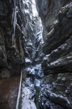
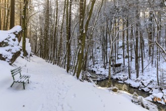
Winter, snowy landscape, hiking trail through the ...
BRK26D01_046
Small waterfall at the Gönningen lakes, calcareous...
BRK26C61_270
Straightened course of the Fuschler Ache near Sank...
BRK26C86_490
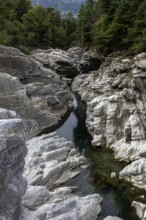
Rocks, rock formations, Verzasca River, near Laver...
BRK26C83_213
Gjerdefossen waterfall, at Ørnesvingen viewpoint, ...
BRK26C89_153
The Irrel Waterfalls, rapids in the lower reaches ...
BRK26C57_144
Hraunfossar, waterfalls of the Hvítá river in autu...
BRK26C63_102
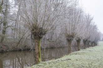
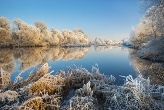
Pollarded willows with hoarfrost, Alstätter Aa nea...
BRK26C72_287
Branches are covered with ice near the river. The ...
BRK26D02_317
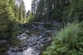
Waterfall at the Steigbach in the Steigbachtobel n...
BRK26D05_123
Rocks, rock structures, Verzasca River, near Laver...
BRK26C65_261
Aerial view, panorama of the mouth of the Stockach...
BRK26C60_004
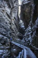
Winter, snowy landscape, icicles, hiking trail thr...
BRK26D02_419
Rocks, granite rock formations in the Maggia River...
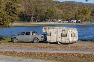
BRK26C64_443
Travel trailer camper at a camp site at Marion Cou...
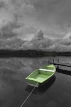
BRK26D05_108
Storm clouds at sunset, a green rowing boat lashed...
BRK26C66_013
River Brenta near Tezze sul Brenta, Veneto, Italy
BRK26C63_421
Weir on the Große Röder near Skassa with reflectio...
BRK26C63_473
Wet meadows at the confluence or source of the Mai...
BRK26C59_301
Winter at the quarry lake in Wesenitztal near Elbe...
BRK26C65_275
Weir on the Große Röder near Wildenhain, Großenhai...
BRK26C66_405
Historic stone arch bridge over the Lockwitzbach s...
BRK26C59_281
Hiking trail in the snow in the Wesenitz valley al...
BRK26C59_484
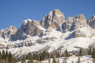
Beautiful landscape of the Mountain silhouettes of...
BRK26C62_345
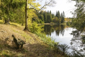
Bench overlooking a pond at the edge of a forest, ...
BRK26C62_412
River Brenta near Tezze sul Brenta, Veneto, Italy
BRK26C69_088
High waterfall on the Levada das 25 Fontes e Risco...
BRK26C65_407
Aerial view, glacial stream flows around a large r...
BRK26D05_183
Dinslaken, North Rhine-Westphalia, Germany, The Em...
BRK26C61_032
Beautiful landscape of the forest in the Sexten Do...
BRK26C66_455
Pilke stream in the Upper Pilke Valley near Schirg...
BRK26D04_227
Raufjellfossen railway bridge, Nordland railway (N...
BRK26C99_015
Mountain stream, Stillachtal, near Oberstdorf, All...
BRK26C66_490
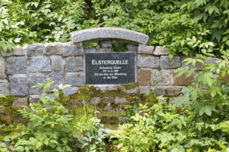
Elster spring, the source of the Black Elster, sou...
BRK26C68_078
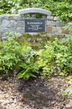
Elster spring, the source of the Black Elster, sou...
BRK26C84_463
The Hochfall, waterfall near Bodenmais, Bavarian F...
BRK26C87_316
Female hiker jumping over rocks, Tugela Gorge or T...
BRK26C95_425
Alexandria, Egypt. June 26th 2024. A young Egyptia...
BRK26C67_252
Old conifer on the bank of the rafting pond near M...
BRK26C88_156
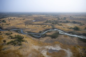
Wetland, landscape, aerial view of the Okavango De...
BRK26C96_012
Water from the waterfall running over the rocks in...
BRK26C66_101
View over the trees and forest of the front bavari...
BRK26C96_397
Stunning waterfall among the dense vegetation and ...
BRK26C61_037
Sunrise over the Quitzdorf dam near Kollm, Upper L...
BRK26C67_178
Rowing boats lying on the bank of the middle pond ...
BRK26C62_347
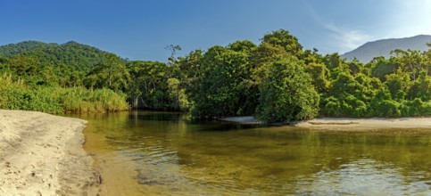
River through the rainforest flowing into Castelha...
BRK26C89_244
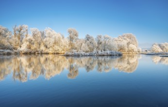
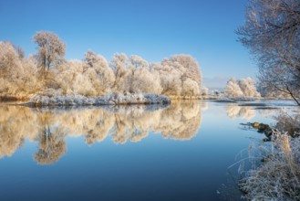
Trees with hoarfrost on the river Eder in winter, ...
BRK26D01_248
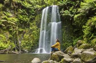
A woman sits peacefully on moss covered rocks near...
BRK26C56_114
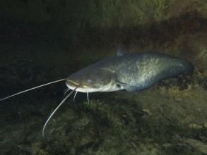
A large catfish (Silurus glanis), Waller, swimming...
BRK26C82_102
Scenic view of a wooden walkway over a stunning em...
BRK26C85_087
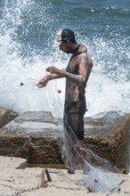
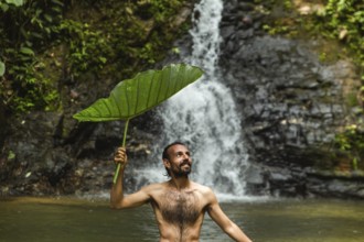
Shirtless man holding a large leaf smiles as he us...
BRK26C81_352
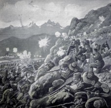
World War 1, During the battles on the Isonzo. On ...
BRK26C82_089
Aerial shot capturing the majestic Kaspa Biru Wate...
BRK26C84_305
Landscape on the river Eder in winter, trees and r...
BRK26C85_020
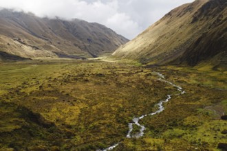
A meandering stream flows through a vast Andean va...
BRK26D00_009
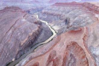
Captivating aerial photograph showcasing the sinuo...
BRK26C58_172
The impressive Xorroxin waterfall in northern Nava...
BRK26C72_169
The bright lit Wartturm above the Elbe river seen ...
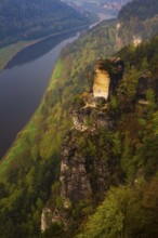
BRK26C78_434
Waterfall in the course of the Strümpfelbach strea...
BRK26C83_339
Emscherkunst, artwork Zauberlehrling by the Berlin...
BRK26C90_024
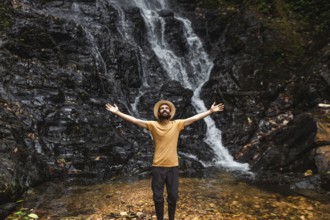
A young man stands with outstretched arms in front...
BRK26C94_283
Landscape on the river Eder in winter, trees cover...
BRK26C59_081
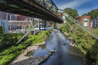
The Wuppertal suspension railway runs through a hi...

BRK26D05_006
The technician F.W. Kuhl swimming down the Rhine n...
BRK26D05_234
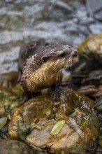
A wet nutria stands on a stone amidst a flowing st...
BRK26C65_145
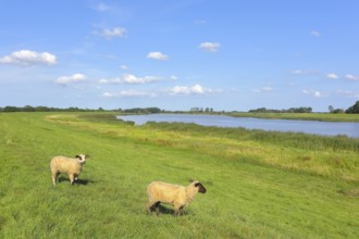
The river Ems near Weener with grazing sheep under...
BRK26C71_337
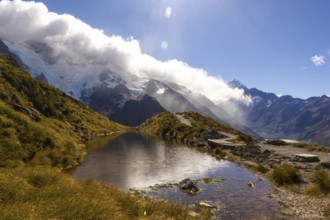
Breathtaking beauty of autumn at Mount Cook, New Z...
BRK26D00_066
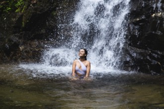
Young Ecuadorian woman enjoys blissfully in a natu...
BRK26C90_202
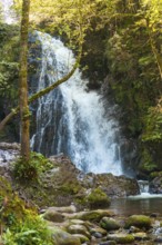
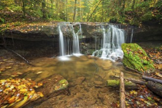
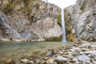
Scenic waterfall cascades into a tranquil pool sur...
BRK26D01_440
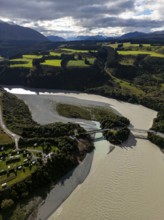
Aerial view captures the diverse landscape of Cant...
BRK26C78_039
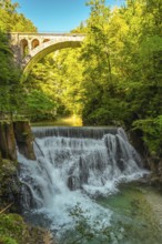
Stunning waterfall cascading beneath a stone bridg...
BRK26C61_304
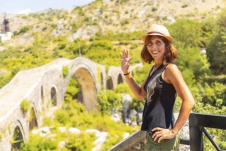
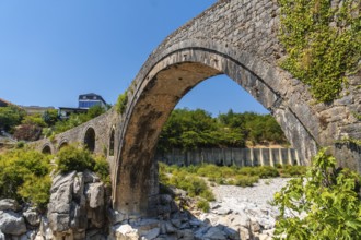
A tourist woman with a hat on the Ottoman Old Mes ...
BRK26C63_436
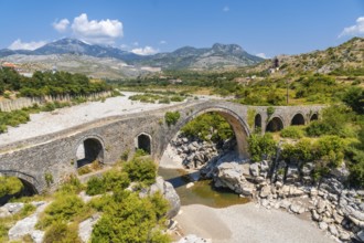
The Old Mes bridge near Shkoder. Albania, Europe. ...
BRK26C71_060
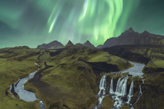
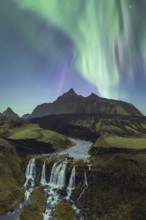
The breathtaking Northern Lights illuminate Icelan...
BRK26C72_328
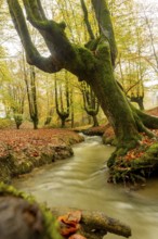
Majestic autumn scene in Gorbea Natural Park, Basq...
BRK26C79_060
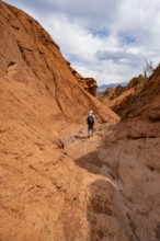
Mountaineers in a canyon with a dry stream bed, er...
BRK26C79_061
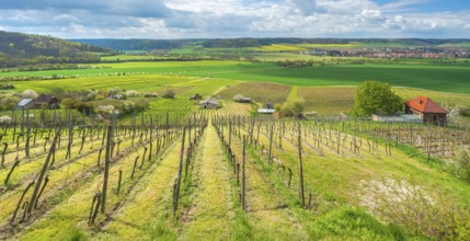
View over vineyard with vineyard cottage into the ...
BRK26C82_431
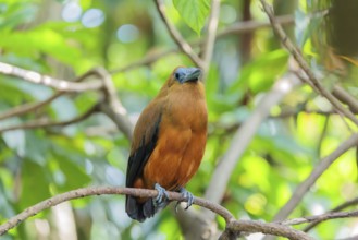
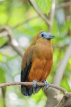
A capuchin bird (Perissocephalus tricolor) sits on...
BRK26C99_307
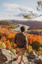
A person stands on a rocky overlook, admiring the ...
BRK26C74_181
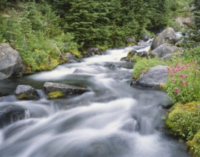
A pristine mountain stream flows over mossy rocks,...
BRK26C77_006
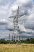
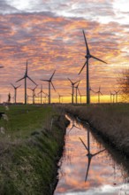
Wind farm near the East Frisian town of Norden, ea...
BRK26C79_212
Breathtaking view of the Aurora Borealis cascading...
BRK26C85_060
Scenic view of a wooden footbridge over the turquo...
BRK26C85_481
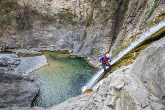
A canyoneer rappels down steep cliffs next to a wa...
BRK26C92_241
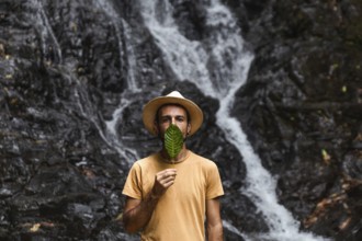
Man from Spain holding a leaf in front of his face...
BRK26C59_355
The beautiful Old Mes bridge near Shkoder. Albania...
BRK26C69_274
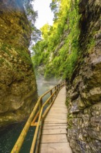
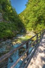
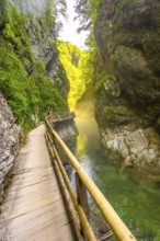
Scenic view of a wooden walkway along the radovna ...
BRK26C69_474
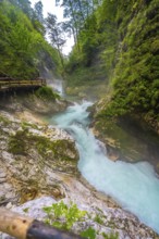
Breathtaking view of the turquoise radovna river c...
BRK26C71_138
A capuchin bird (Perissocephalus tricolor) sits on...
- Page
-
- of
- 120