447 results for: meadow rails
- Page
-
- of
- 5
Please sign in for more results
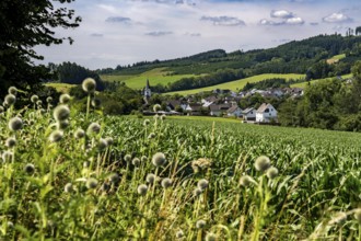
BRK26C50_148
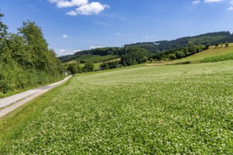
Landscape along the Sauerlandring cycle path, an 8...
BRK26C41_180
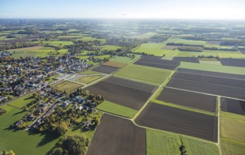
Rural landscape with individual houses, fields and...
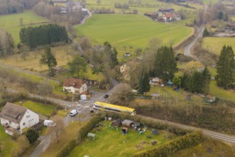
BRK26C41_183
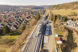
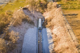
Rural area with a yellow train on the rails, surro...
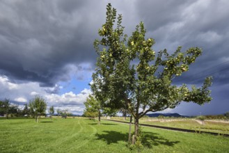
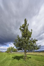
BRK26C45_020
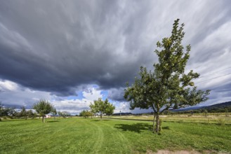
Cultivated apple (Malus domestica), Kohlenbacher a...

BRK26C17_267
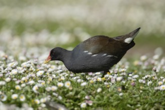
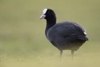
Eurasian Coot (Fulica atra), in morning mist on a ...

BRK26C25_488
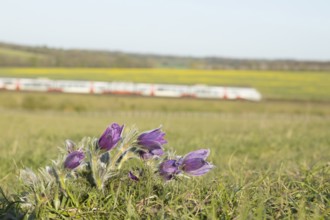
Pasqueflower (Pulsatilla vulgaris) wild plant flow...

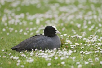
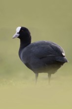
BRK26C52_285
Eurasian Coot (Fulica atra) also called coot, typi...
BRK26B67_282
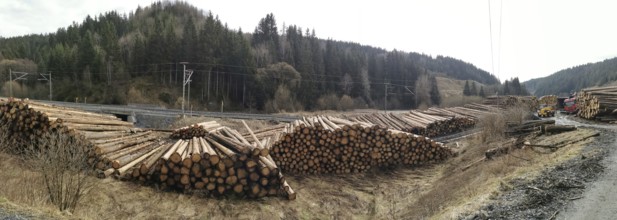
Panoramic photo, tree trunks of spruce (picea) des...
BRK26B57_469
Pasqueflower (Pulsatilla vulgaris) wild plant flow...
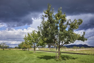
BRK26B96_359
Cultivated apple (Malus domestica), Kohlenbacher a...
BRK26B57_109
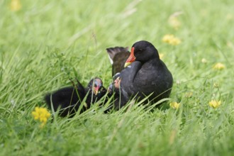
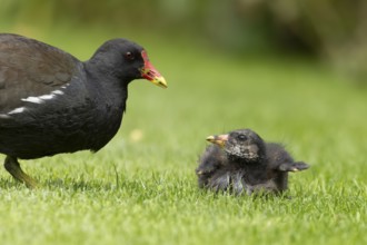
Moorhen (Gallinula chloropus) adult bird walking a...
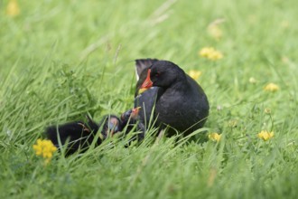
BRK26B83_090
Water rail or moorhen (Gallinula chloropus) with c...
BRK26B42_182
Landscape along the Sauerlandring cycle path, an 8...
BRK26B16_282
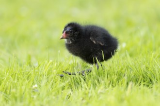
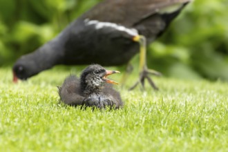
Moorhen (Gallinula chloropus) juvenile baby bird w...
BRK26B50_292
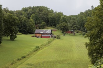
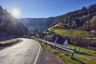
Small family farm in the mountains as seen from th...
BRK26B17_401
Railway line runs through a village with red-roofe...

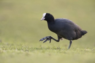
BRK26B45_090
On the move on big feet... Coot (Fulica atra) walk...
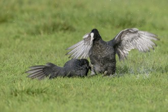
BRK26B18_387
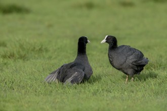
Two coots Coots (Fulica atra) facing each other in...
BRK26B18_385
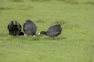
Three coots Coots (Fulica atra) on a wet meadow, D...
BRK26B45_088
Eurasian Coot (Fulica atra) also called coot, typi...
BRK26B32_142
Cultivated apple (Malus domestica), Kohlenbacher a...
BRK26B14_471
Water rail or moorhen (Gallinula chloropus) with c...
BRK26B15_295
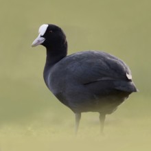
Eurasian Coot (Fulica atra) sitting in a meadow wi...
BRK26B32_120
Cultivated apple (Malus domestica), Kohlenbacher a...
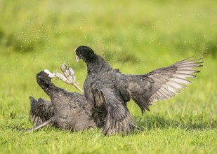
BRK26B18_386
Two coots Coots (Fulica atra) fight a dramatic bat...
BRK26B18_388
Two coots Coots (Fulica atra) fighting on a wet me...
BRK26A90_467
Landscape along the Sauerlandring cycle path, an 8...
BRK26A53_340
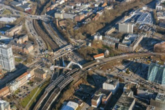
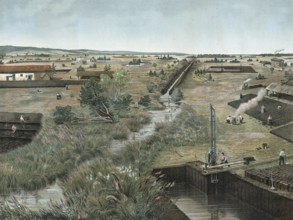
Construction site, Ankelmannplatz, Bürgerweide, Be...
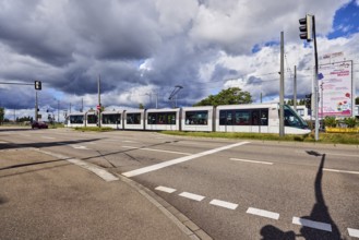
BRK26A59_251
Tram, cars, street, sidewalk, lanes, cycle path, c...
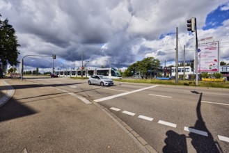
BRK26A59_250
Tram, street, sidewalk, lanes, overhead line, cent...
BRK26A95_378
Eurasian Coot (Fulica atra) also called coot, typi...
BRK26A95_385
On the move on big feet... Coot (Fulica atra) walk...
BRK26A95_376
Eurasian Coot (Fulica atra) also called coot, typi...
BRK26A07_315
Oberschwäbisches Ried, Baden-Württemberg, Germany,...
BRK26A16_035
Aerial view of a train line through an autumnal fo...
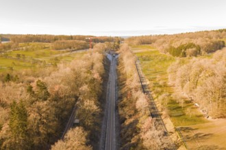
BRK26A16_029
Train route from above, flanked by autumnal forest...
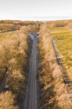
BRK26A16_031
Aerial view of a train line through autumnal fores...
BRK26A16_040
Drone view of a railway line through an autumn lan...
BRK26A11_062
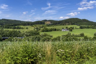
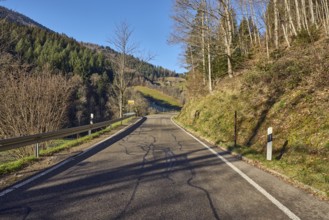
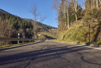
Landscape photography, hills, hilly landscape, roa...
BRK26A07_045
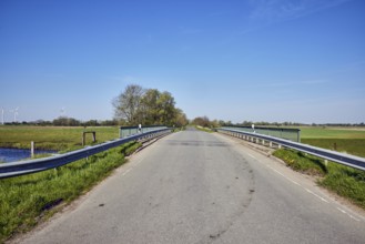
Bach Lecker Au, bridge, metal railing, guardrail, ...
BRK26A11_037
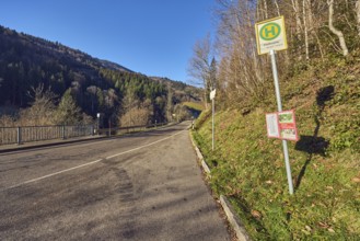
Bus stop Pfaffmühle, landscape photography, hills,...
BRK26A11_039
Landscape photography, hills, hilly landscape, roa...
BRK26A11_034
Landscape photography, landscape, hilly landscape,...
BRK26A14_347
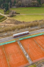
Landscape view with train next to tennis courts an...

BRK25M44_219
Landscape along the Sauerlandring cycle path, an 8...

BRK25M44_229
Landscape along the Sauerlandring cycle path, an 8...

BRK25M94_240
A path between flowering plants under a sunny sky ...
BRK25M30_453
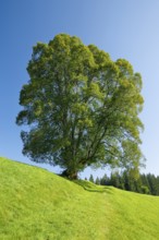
Large lime tree in Oberägeri, Canton of Zug, Swit...
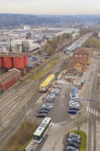
BRK25M71_121
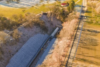
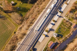
View from above of a train station with an adjacen...
BRK25M71_125
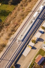
Railway line and platform in rural surroundings, w...
BRK25M19_129
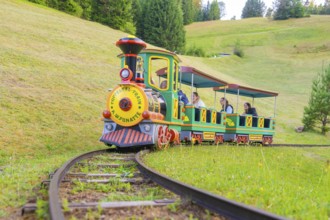
A colourful mini train runs on narrow tracks throu...
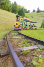
BRK25M19_125
A colourful mini train moves through a green hilly...
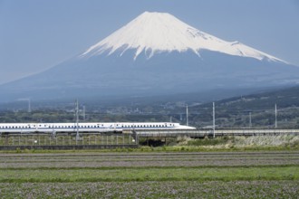
BRK25M15_053
Mount Fuji with the Shinkansen train in the foregr...
BRK25L72_295
Moorhen (Gallinula chloropus) adult parent bird an...

BRK25L17_415
Railway bridge over an autumnal valley with colorf...
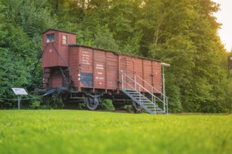
BRK25L45_460
A red goods wagon with steps, green meadow and for...
BRK25L21_411
Moorhen (Gallinula chloropus) adult parent bird an...
BRK25L21_424
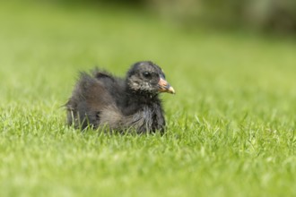
Moorhen (Gallinula chloropus) juvenile baby bird o...
BRK25K51_111
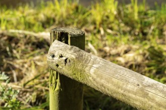
Raesfeld, NRW, Germany, Weathered wooden fence pos...
BRK25K50_363
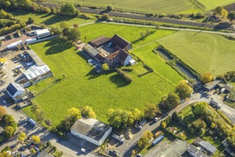
Aerial view, courtyard in a meadow, Gerhard Schnüb...
BRK25K50_375
Aerial view, courtyard in a meadow, Gerhard Schnüb...
BRK25K50_355
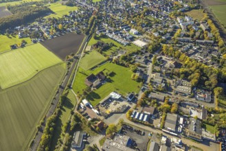
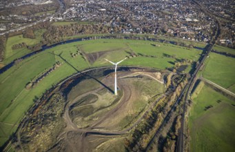
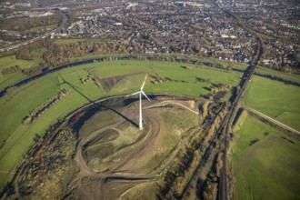
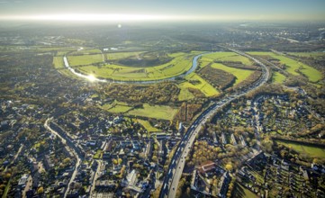
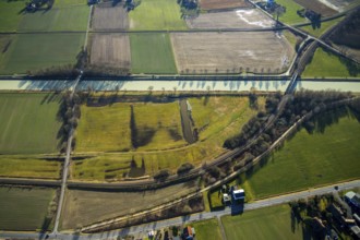
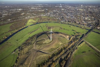
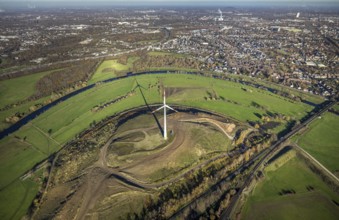
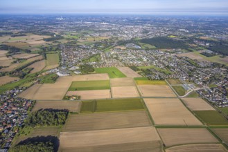
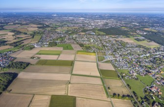
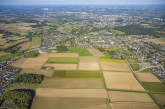
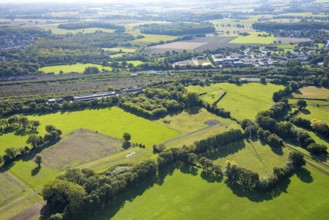
Aerial view of meadows and fields at the new Westt...
BRK25K50_362
Aerial view, courtyard in a meadow, Gerhard Schnüb...
BRK25K30_159
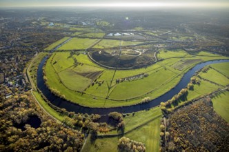
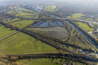
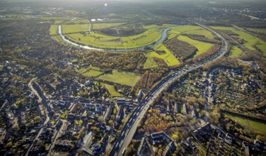
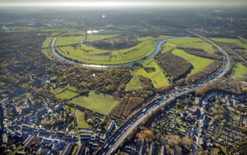
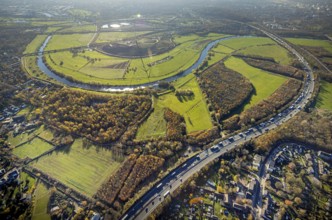
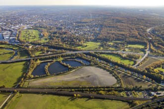
Aerial view, Styrumer Ruhrbogen, Ruhrwiesen, landf...
BRK25K47_092
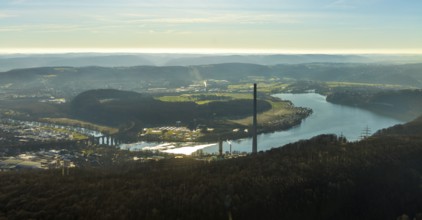
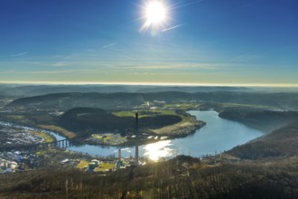
Aerial view, landscape panorama, Harkortsee, river...
BRK25K30_185
Aerial view, sewage sludge landfill at Styrumer Ru...
BRK25K37_216
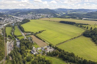
Aerial view, possible building area, Laer Castle, ...
BRK25K49_411
Aerial view, Living and living, Alter Uentroper We...
BRK25K30_184
Aerial view, Styrumer Ruhrbogen, Ruhrwiesen, landf...
BRK25K49_420
Aerial view, Living and living, Alter Uentroper We...
BRK25K30_182
Aerial view, Styrumer Ruhrbogen, Ruhrwiesen, landf...
BRK25K30_163
Aerial view, Styrumer Ruhrbogen, Ruhrwiesen, landf...

BRK25K32_169
Aerial view, Styrumer Ruhrbogen, Ruhrwiesen, landf...

BRK25K30_162
Aerial view, Styrumer Ruhrbogen, Ruhrwiesen, landf...
BRK25K32_185
Aerial view, Styrumer Ruhrbogen, Ruhrwiesen, landf...
BRK25K30_161
Aerial view, Styrumer Ruhrbogen, Ruhrwiesen, landf...
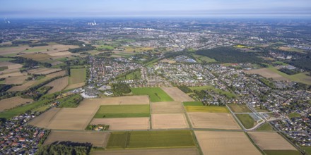
BRK25K49_415
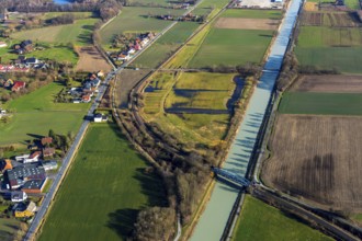
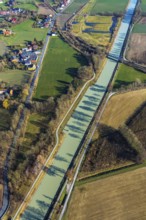
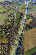
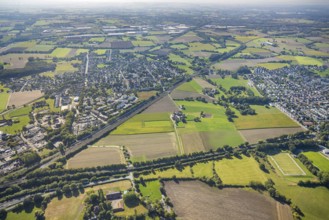
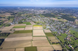
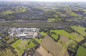
Aerial view, meadows and fields at the Datteln-Ham...
BRK25K30_160
Aerial view, Styrumer Ruhrbogen, Ruhrwiesen, landf...
BRK25K36_396
Aerial view, sewage sludge landfill at Ruhrbogen R...
BRK25K49_413
Aerial view, meadows and fields at the Datteln-Ham...
BRK25K38_340
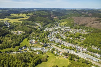
Aerial view, Brügge district, Lüdenscheid-Brügge r...
BRK25K49_414
Aerial view, meadows and fields at the Datteln-Ham...
BRK25K47_091
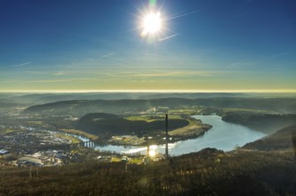
Aerial view, landscape panorama, Harkortsee, river...
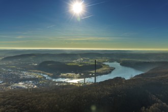
BRK25K47_088
Aerial view, landscape panorama, Harkortsee, river...
BRK25K30_183
Aerial view, Styrumer Ruhrbogen, Ruhrwiesen, landf...
BRK25K38_353
Aerial view, Brügge district, Lüdenscheid-Brügge r...
BRK25K30_181
Aerial view, Styrumer Ruhrbogen, Ruhrwiesen, landf...
BRK25K37_154
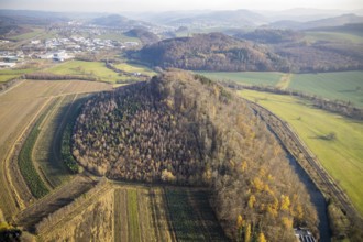
Aerial view, nature reserve Schneisenberg, Wenneme...
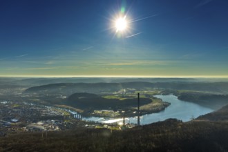
BRK25K47_087
Aerial view, landscape panorama, Harkortsee, river...
BRK25K47_086
Aerial view, landscape panorama, Harkortsee, river...
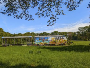
BRK25J51_342
Railway in meadow graffiti Minden Germany
BRK25J53_445
Aerial view, planned stop in Westtünnen, construct...
BRK25J53_472
Aerial view, Hamm marshalling yard, Schieferstraße...
BRK25J53_444
Aerial view, planned stop in Westtünnen, construct...
BRK25J53_467
Aerial view, planned stop in Westtünnen, construct...
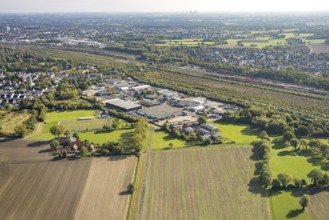
BRK25J53_299
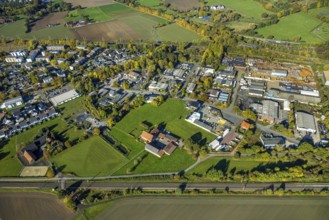
Aerial view, residential area Wiescherhöfen with m...
BRK25J54_040
Aerial view, planned stop in Westtünnen, construct...
BRK25J53_446
Aerial view, planned stop in Westtünnen, construct...
BRK25J53_481
Aerial view, marshalling yard Hamm, meadows and fi...
BRK25J54_003
Aerial view, marshalling yard Hamm, industrial are...
- Page
-
- of
- 5