8647 results for: high mountain valley
- Page
-
- of
- 87
Please sign in for more results
BRK26C91_177
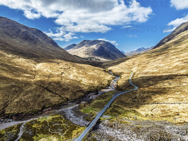
Mountains and Moors over Glen Etive Valley from a ...
BRK26C99_150
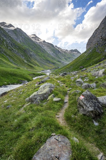
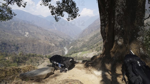
Hiking trail in the Umbaltal valley with Isel moun...
BRK26C56_137
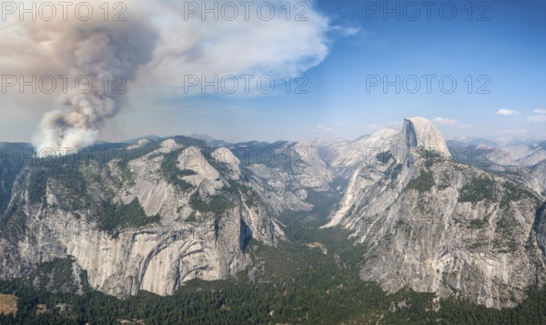
View from Glacier Point to Yosemite Valley with Ha...
BRK26C58_120
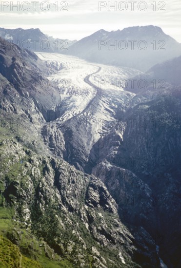
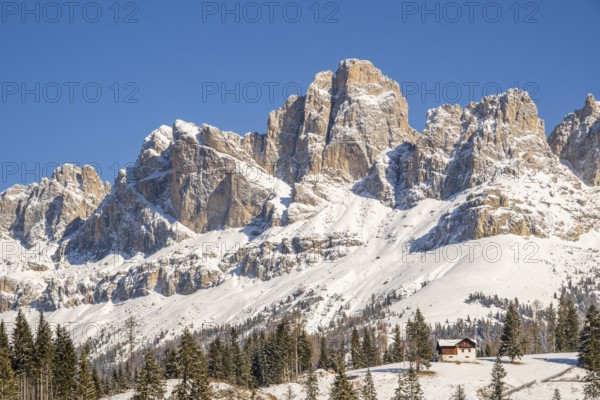
Aletsch Glacier, Great Aletsch Glacier, Bernese Al...
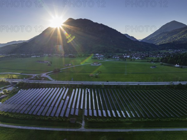
BRK26C56_458
Aerial view, solar system, photovoltaics, morning ...

BRK26C57_450
Hiking trail on the Riffelalp with golden yellow l...
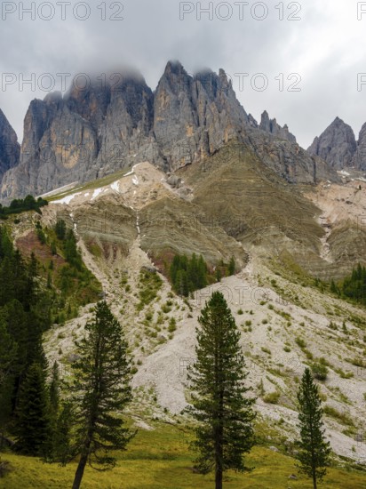
BRK26C84_491
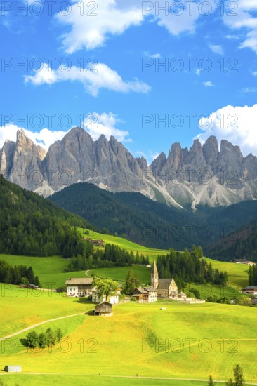
Geisler peaks rise above the rock layers into the ...
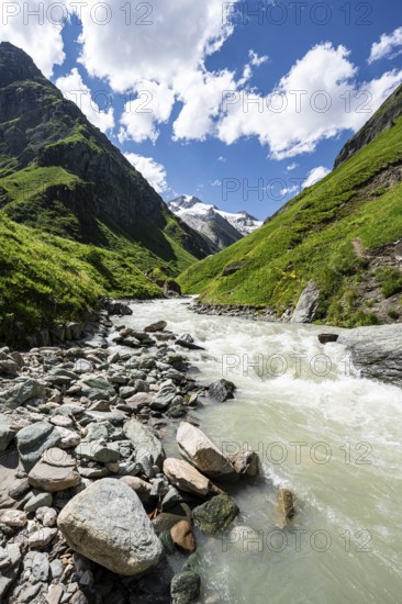
BRK26C78_157
Isel mountain stream in the Umbaltal valley, Vened...
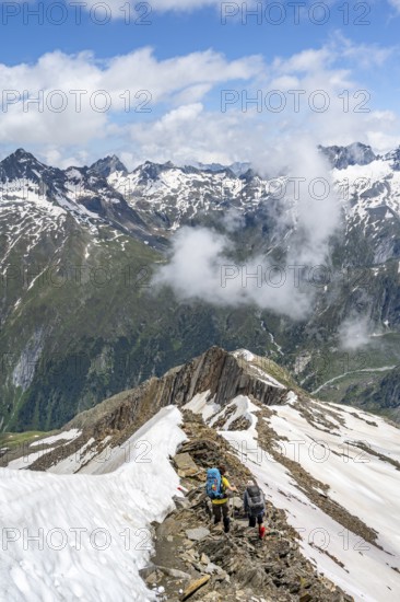
BRK26C89_348
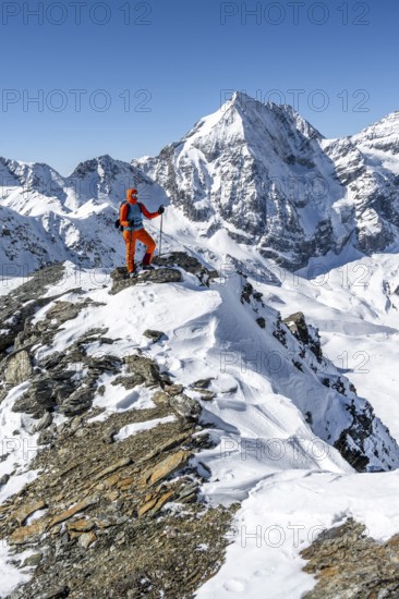
Mountaineer on a rocky ridge with snow, descent fr...
BRK26C60_033
View from Belalp of snow-covered mountains to the ...
BRK26C76_040
Ski tourer, ascent to the summit of the Köllkuppe ...
BRK26D03_417
Ski tourer stretches his arms triumphantly into th...
BRK26C75_493
Rocca di Cerere and surrounding valley, elevated v...
BRK26C57_285
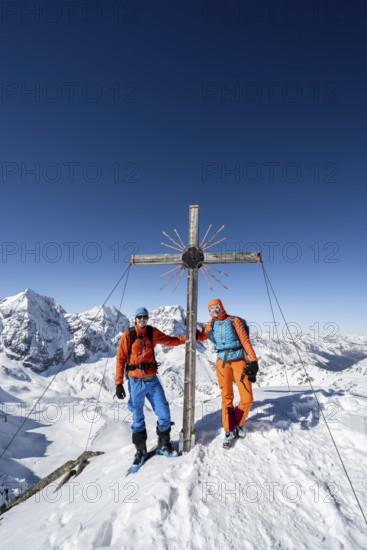
Two ski tourers at the summit cross on the summit ...
BRK26C60_081
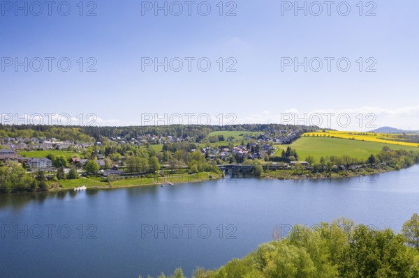
Lake Bergsee ('mountain lake') near Bad Säckingen,...
BRK26D01_281
River Isel in the Umbaltal valley, Hohe Tauern Nat...
BRK26C98_469
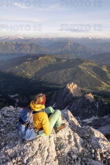
Hiker looking down into the valley from the Hochkö...
BRK26C73_332
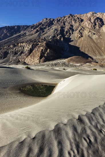
Sand dunes in Nubra valley in Himalayas. Hunder, N...
BRK26D00_269
Ski tourers on foot, mountain panorama with snow-c...
BRK26C88_290
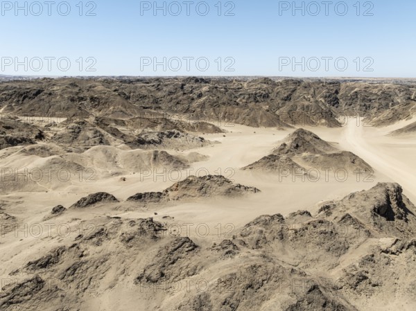
Aerial view, dry barren mountains in Moon Valley, ...
BRK26C75_285
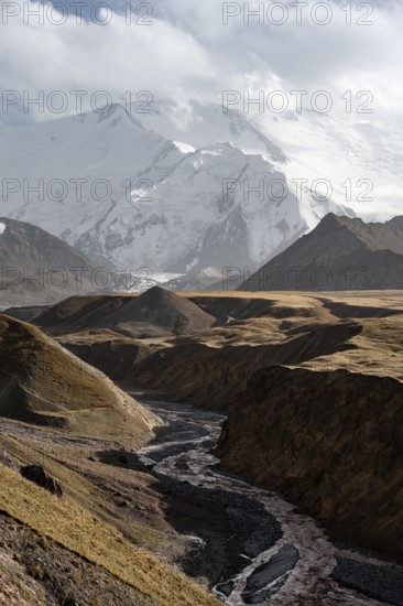
Achik Tash river, Achik Tash valley, behind glacia...
BRK26C59_484
Beautiful landscape of the Mountain silhouettes of...
BRK26C65_437
Malter, town view with dam and Weißeritz valley ra...
BRK26C57_294
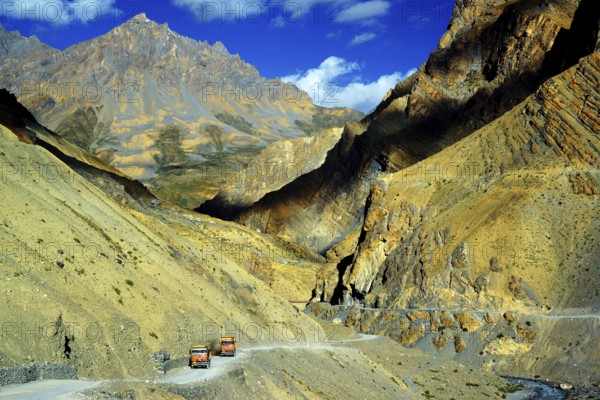
Spiti, valley, mountain valley, roads, mountain ro...
BRK26C65_407
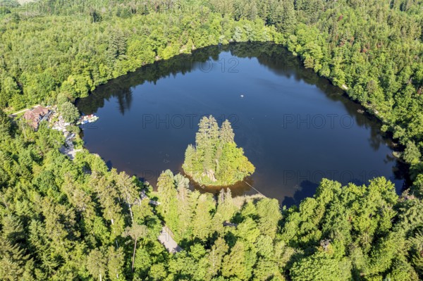
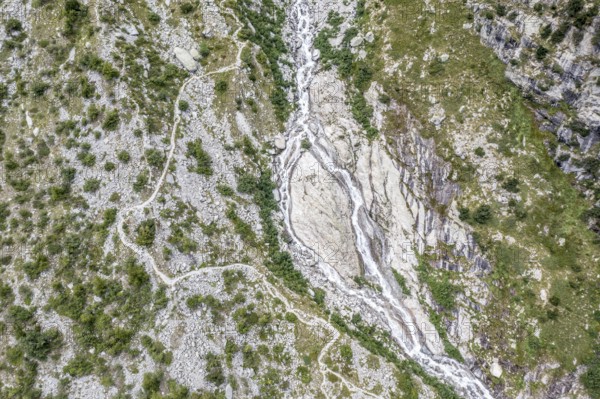
Aerial view, glacial stream flows around a large r...
BRK26C61_032
Beautiful landscape of the forest in the Sexten Do...
BRK26C81_296
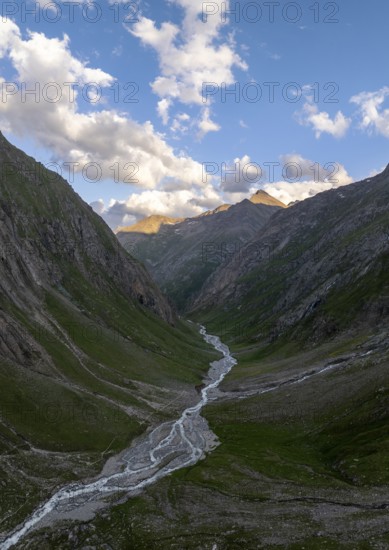
Dramatic mountain landscape, mountain valley, behi...
BRK26C65_315
Summit cross, Seceda, Val Gardena, Trentino, South...
BRK26C76_241
View over Säntis mountains into the valley of Megl...
BRK26C68_265
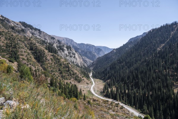
Road through a mountain valley in autumn, Eki-Nary...
BRK26C78_476
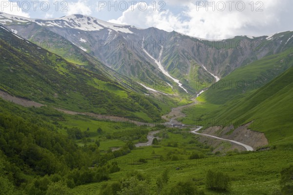
Green valley with snow-covered mountains under clo...
BRK26C57_371
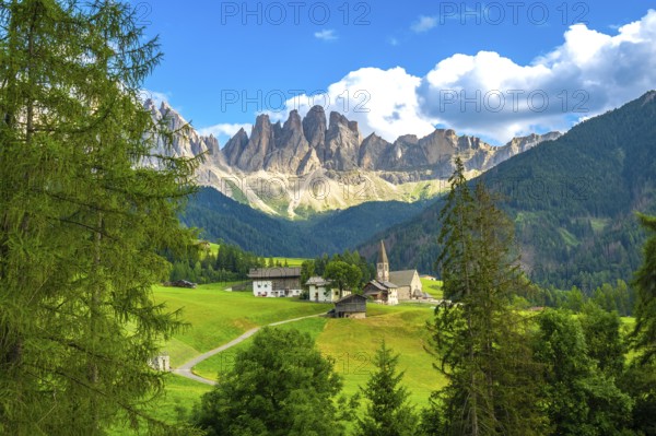
Surrounded by lush meadows and forests, st. Magdal...
BRK26C87_484
A picturesque scene at Seealpsee in Switzerland fe...
BRK26C58_291
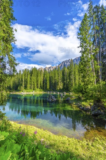
Emerald waters of lake carezza reflecting latemar ...
BRK26C72_374
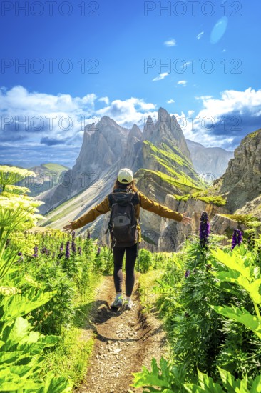
Hiker walking along a path with open arms, enjoyin...
BRK26C73_174
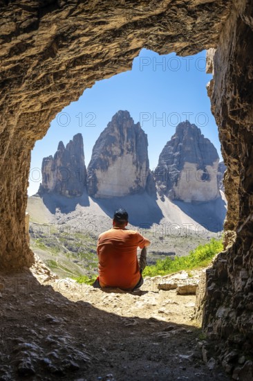
Hiker admiring the tre cime di lavaredo from insid...
BRK26C77_231
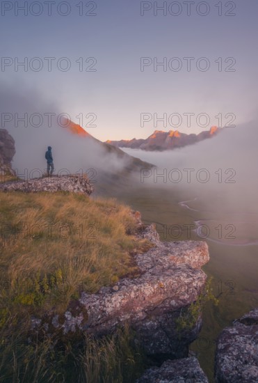
A lone hiker stands on a cliff, gazing at a stunni...
BRK26C85_020
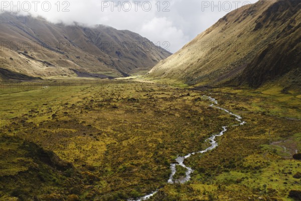
A meandering stream flows through a vast Andean va...
BRK26C60_034
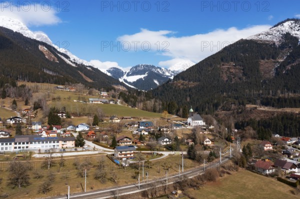
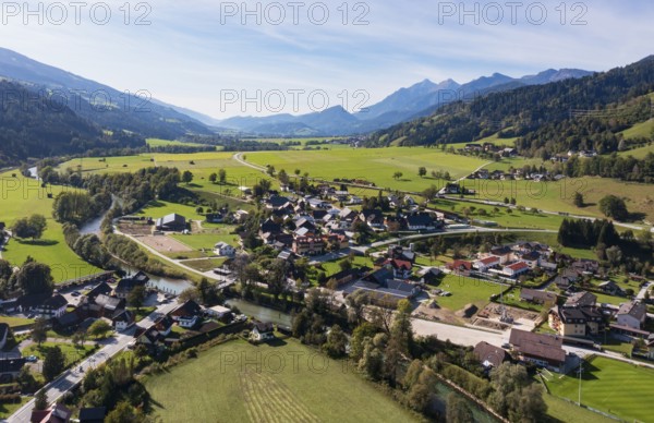
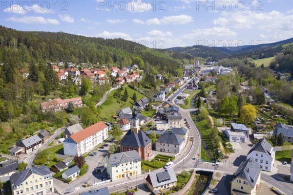
Drone image, residential buildings, view of town, ...
BRK26C60_287
Roman Catholic parish church of St Peter and St Pa...
BRK26C77_430
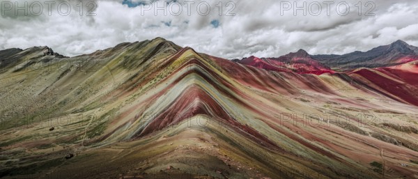
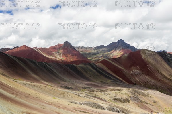
A stunning panoramic capture of Vinicunca, or Rain...
BRK26C95_290
A stunning drone photograph capturing the layered ...
BRK26C94_363
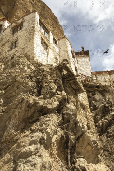
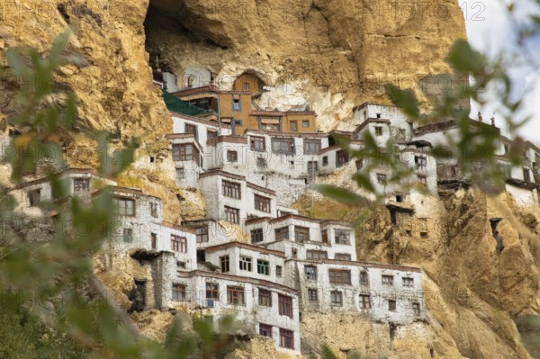
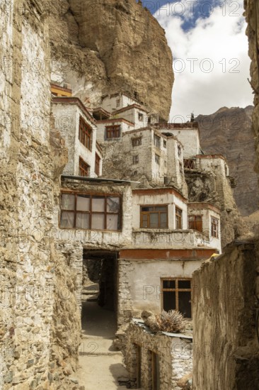
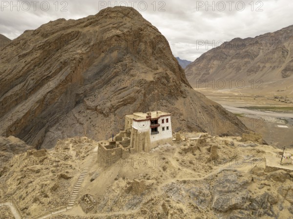
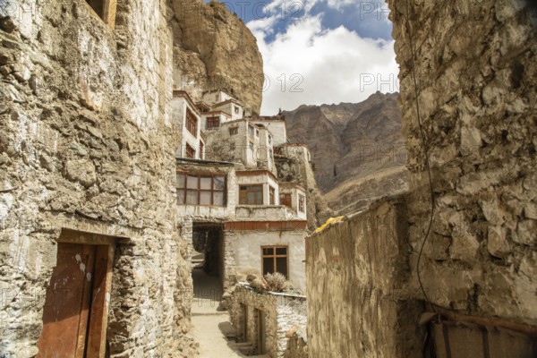
Phugtal Monastery, set against dramatic cliffs in ...
BRK26C84_062
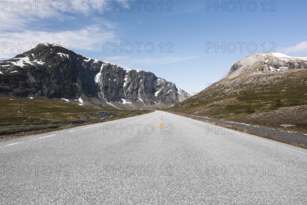
Experience the breathtaking scenery of Norway with...
BRK26C89_229
Aerial view showcasing a striking example of gully...
BRK26D00_036
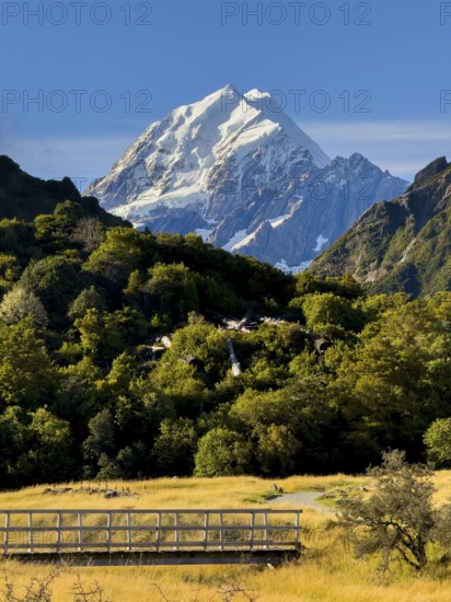
Stunning autumn landscape of Mount Cook, New Zeala...
BRK26C73_218
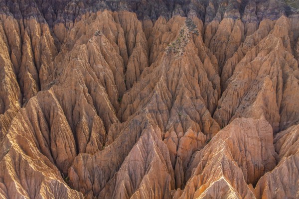
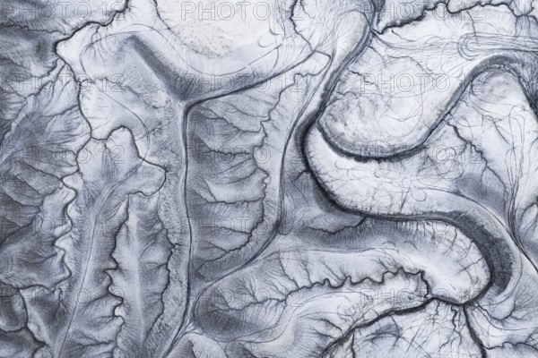
A captivating aerial shot of the unique and intric...
BRK26C75_420
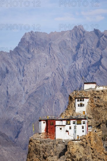
Phugtal Monastery, nestled in Ladakh's rugged clif...
BRK26C77_180
An aerial view showcases rocky mountain formations...
BRK26C81_468
Phugtal Gompa, a stunning Buddhist monastery nestl...
BRK26C95_178
Charming wooden huts scattered across lush green m...
BRK26D01_440
Aerial view captures the diverse landscape of Cant...
BRK26C71_111
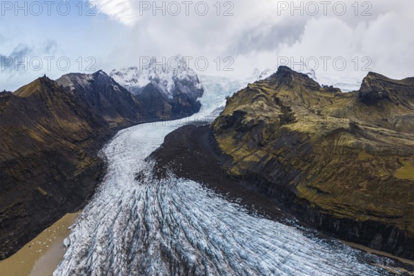
Stunning aerial capture of Vatnajökull Glacier win...
BRK26C87_201
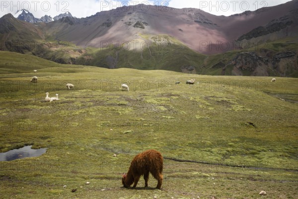
Alpaca and alpacas graze peacefully in the vibrant...
BRK26C60_007
Drone image, residential buildings, view of the vi...
BRK26C60_218
Scenic landscape showing st. Magdalena church in v...
BRK26C61_368
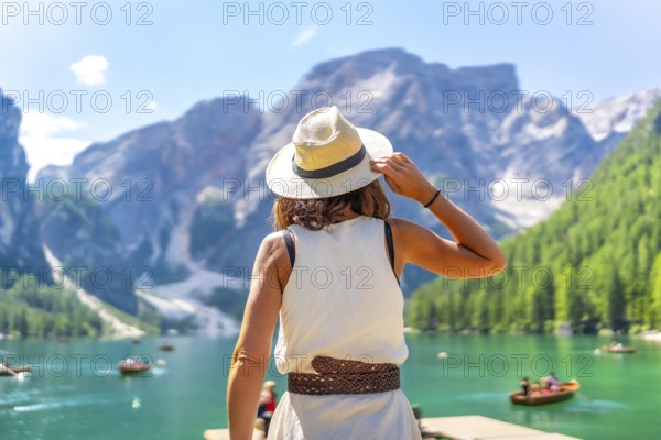
Woman wearing summer hat enjoying stunning landsca...
BRK26C71_375
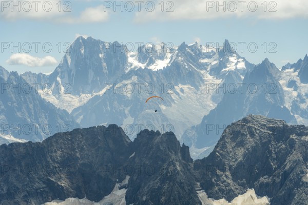
A lone paraglider glides gracefully above the rugg...
BRK26C75_197
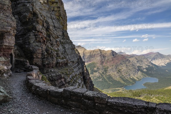
Rugged mountain landscape of Glacier National Park...
BRK26C80_187
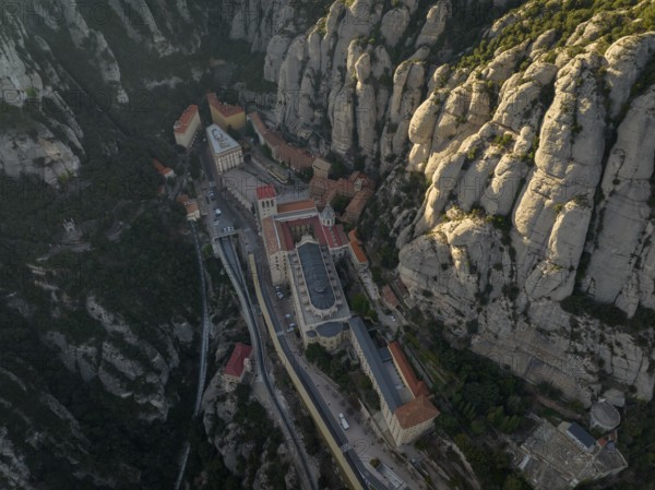
An aerial view of the Montserrat Abbey in Cataloni...
BRK26C84_439
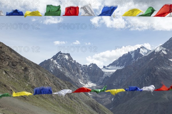
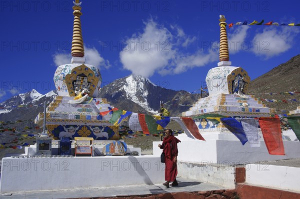
Colorful prayer flags flutter in the foreground, s...
BRK26D04_391
Aerial view of rugged mountain peaks partially cov...
BRK26C70_240
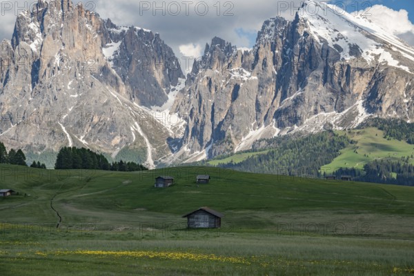
Alpe di Siusi in the Dolomites mountains of Italy ...
BRK26C86_368
Green meadows and santa maddalena church under the...
BRK26C58_197
Scenic hiking path winds through lush vegetation, ...
BRK26C77_052
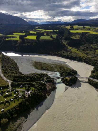
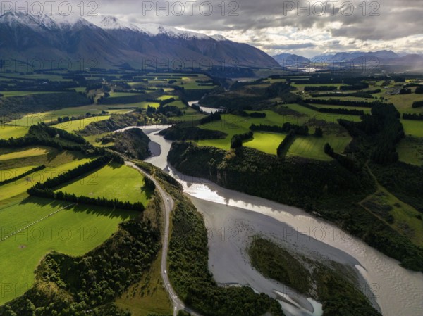
Far reaching view from a vantage point over a rive...
BRK26C87_384
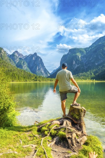
Tourist standing on a tree stump, admiring the stu...
BRK26C90_497
View of a part of the Geisler group from the Gampe...
BRK26C97_191
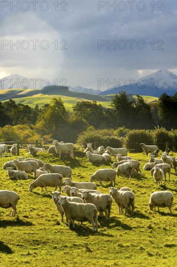
A picturesque autumn scene of sheep grazing in ver...
BRK26C57_345
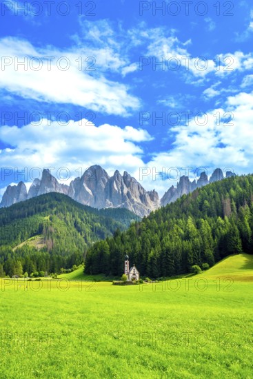
Scenic summer view of st. Magdalena church in val ...
BRK26C69_110
Aerial view of Canterbury region's lush green farm...
BRK26C72_370
A solitary monastery nestled in the rugged mountai...
BRK26C85_110
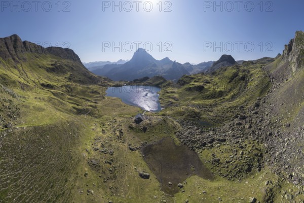
A stunning aerial view captures the tranquil Ayous...
BRK26C85_156
A remarkable landscape of Vinicunca, known as the ...
BRK26C82_022
Explore the rugged beauty of Phugtal Monastery in ...
BRK26C83_278
Tourist resting on a green meadow, enjoying the br...
BRK26C94_474
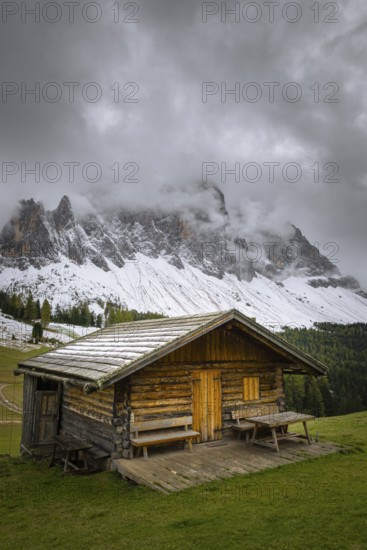
A serene view of a small cabin in a lush green mea...
BRK26C72_266
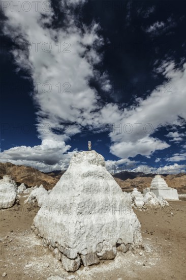
Whitewashed chortens (Tibetan Buddhist stupas) . N...
BRK26D03_150
Asia, India, Spiti, Kunzum La Pass, Spitital, Kunz...
BRK26C61_351
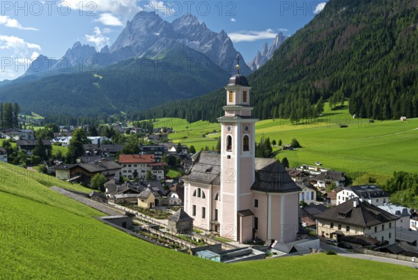
Town view with church Zur heiligen Dreifaltigkeit ...
BRK26C62_129
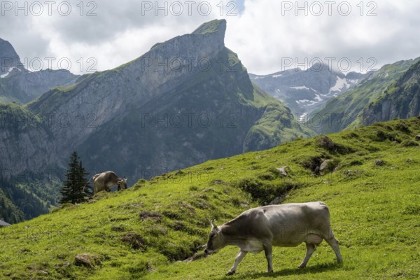
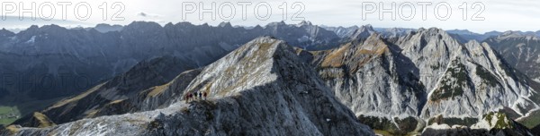
Hikers on the Gamsjoch, aerial view, Alpine panora...
BRK26C59_071
Dhankar gompa (monastery) on cliff. Dhankar, Spiti...
BRK26C89_287
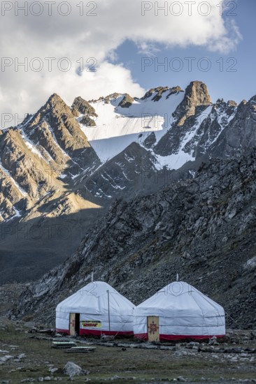
Yurts in a mountain valley in the Tien Shan Mounta...
BRK26C86_018
View of Rapadalen, Sarek National Park, Laponia Wo...
BRK26C69_225
Nepal. Landlocked country in the Himalayas, mustan...
BRK26C98_439
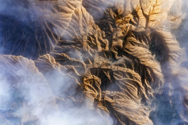
Breathtaking mountain formations in an arid desert...
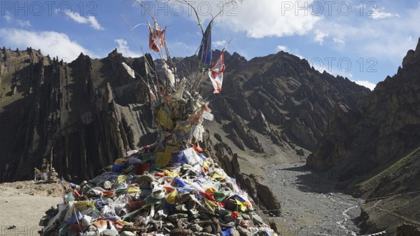
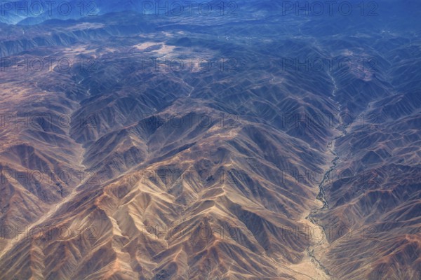
BRK26C18_108
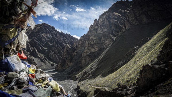
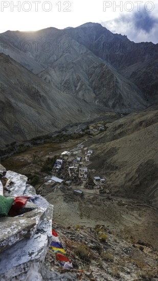
Traditional prayer flags on a stone hill in a wide...
BRK26C30_395
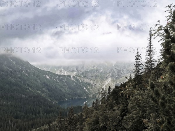
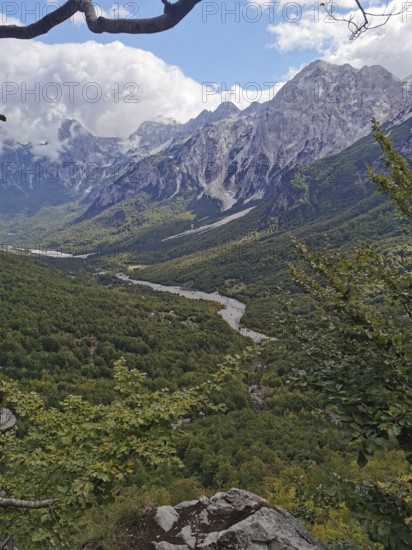
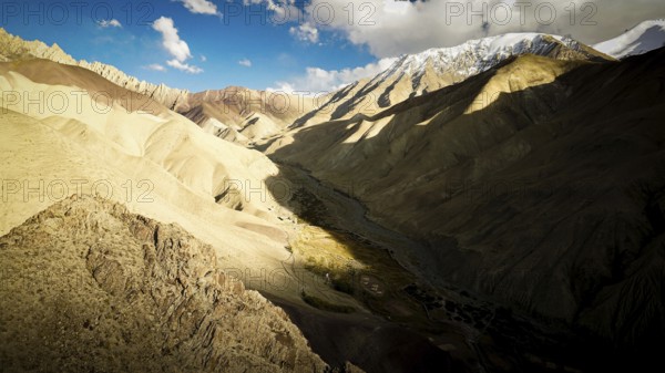
Misty mountain valley with lake and dense forest l...
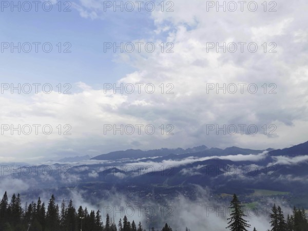
BRK26C46_070
View from Horben of the Reuss Valley covered in fo...
BRK26C18_110
Colorful landscape with mountains and a sun-drench...
BRK26C27_051
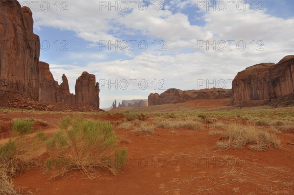
Wide valley with high rock walls surrounded by dry...
BRK26C31_125
Wide view of a green valley with a river and high ...
BRK26C47_099
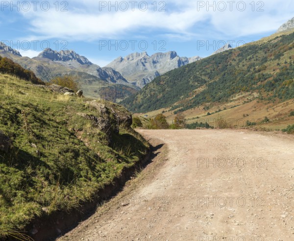
Mountain landscape Guarrinza - La Mina, Aragon Sub...
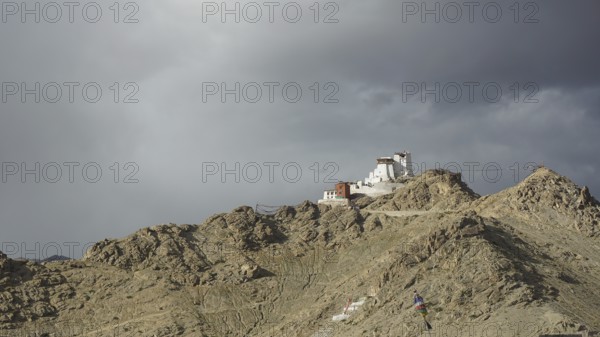
BRK26C18_098
Namgyal Tsemo Buddhist monastery in Leh perched on...
BRK26C18_113
Mountain valley with prayer flags and dry riverbed...
BRK26C27_053
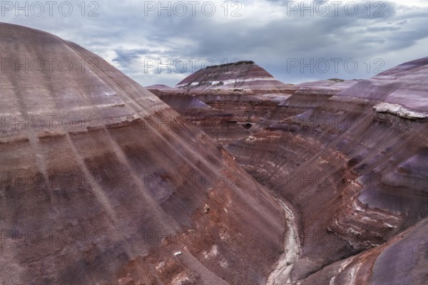
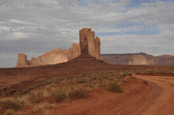
Distinctive tall rock rises in a barren, red deser...
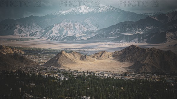
BRK26C18_082
Dramatic mountain landscape with strong light and ...
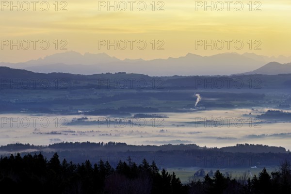
BRK26C30_424
Extensive view of a foggy valley with mountains an...
BRK26C18_070
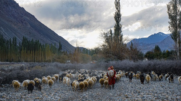
Herd of sheep (ovis) in the Nubra valley with shee...
BRK26C18_097
A small village surrounded by mountains in a remot...
- Page
-
- of
- 87