156 results for: forest map
- Page
-
- of
- 2
Please sign in for more results
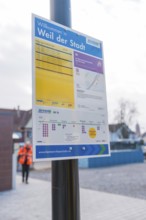
BRK26C33_289
An informative sign on the platform with city and ...
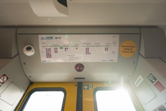
BRK26C33_303
The interior of a train with a route plan and ligh...
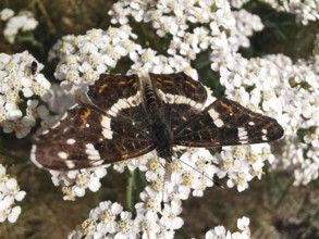
BRK26B67_176
Close-up, A land carder (araschnia levana) sits on...
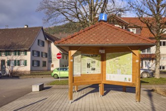
BRK26A11_045
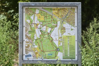
Information pavilion, information, tourism, site p...

BRK25M15_118
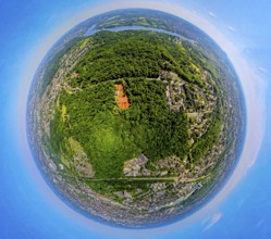
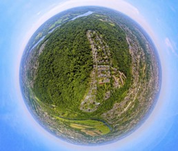
Ruin Alter Lichtenstein near Lichtenstein Castle, ...
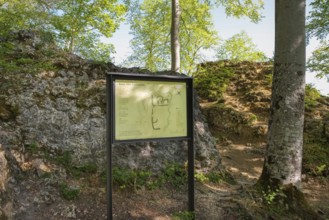
BRK25L86_281
Ruin Alter Lichtenstein near Lichtenstein Castle, ...
BRK25L92_407
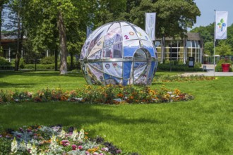
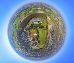
Park in front of the entrance to the garden show, ...
BRK25L45_099
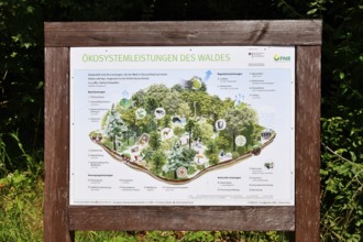
Forbach, Germany - July 12th 2025: Infographic abo...
BRK25K67_364
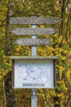
Road sign, map, autumn forest, Neuenkleusheim, Olp...
BRK25K87_298
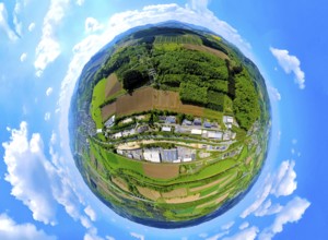
Aerial view, villa hill and hill park with autumna...
BRK25K87_318
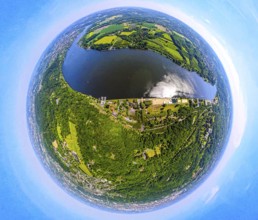
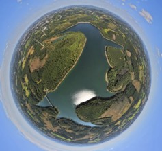
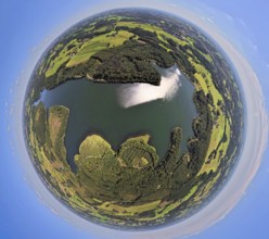
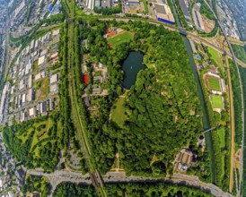
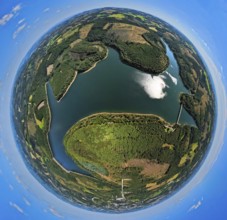
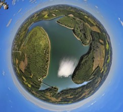
Aerial view, Lake Baldeney with dam RWE hydroelect...
BRK25K87_270
Aerial view, Lake Baldeney with dam RWE hydroelect...
BRK25K24_239
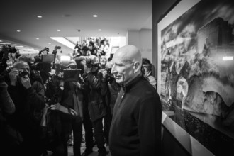
DEU Germany Germany Berlin Press date for the phot...
BRK25K24_214
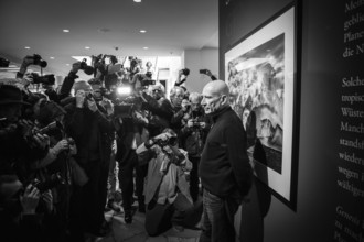
DEU Germany Germany Berlin Press date for the phot...
BRK25K24_240
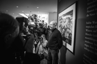
DEU Germany Germany Berlin Press date for the phot...
BRK25K24_216
DEU Germany Germany Berlin Press date for the phot...
BRK25K24_242
DEU Germany Germany Berlin Press date for the phot...
BRK25K24_215
DEU Germany Germany Berlin Press date for the phot...
BRK25K24_241
DEU Germany Germany Berlin Press date for the phot...

BRK25K21_133
DEU Germany Germany Berlin Press date for the phot...
BRK25K24_238
DEU Germany Germany Berlin Press date for the phot...

BRK25K24_237
DEU Germany Germany Berlin Press date for the phot...
BRK25J81_394
Aerial view, service area Hünxe-Ost and Hünxe-West...
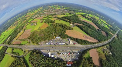
BRK25J81_396
Aerial view, service area Hünxe-Ost and Hünxe-West...
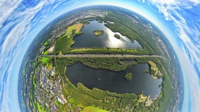
BRK25J71_344
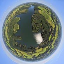
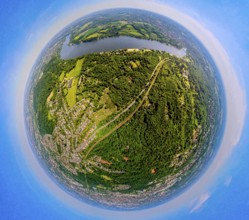
Aerial photo, Elbsee and Unterbacher See with fore...
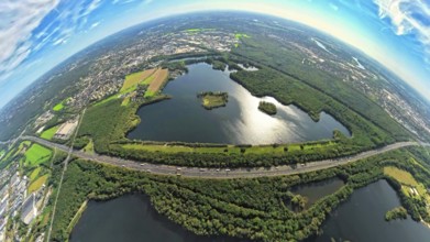
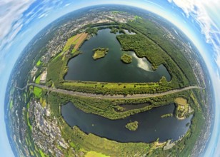
BRK25J71_341
Aerial photo, Elbsee and Unterbacher See with fore...
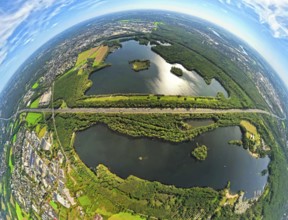
BRK25J71_342
Aerial photo, Elbsee and Unterbacher See with fore...
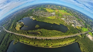
BRK25J71_419
Aerial photo, Elbsee and Unterbacher See with fore...
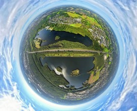
BRK25J71_371
Aerial photo, Elbsee and Unterbacher See with fore...
BRK25J71_418
Aerial photo, Elbsee and Unterbacher See with fore...
BRK25J71_380
Aerial photo, Elbsee and Unterbacher See with fore...
BRK25J72_010
Aerial view, Fleher forest and motorway junction D...
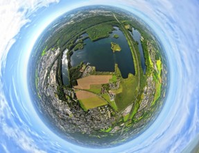
BRK25J72_042
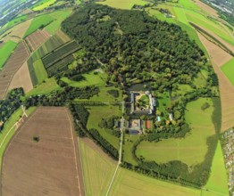
Aerial view, Schloss Heltorf moated castle with ca...
BRK25J72_036
Aerial view, Fleher forest and motorway junction D...

BRK25J01_119
An illustration depicts the Earth engulfed in flam...
BRK25J40_422
Mannheim, Germany - August 31st 2025: Information ...
BRK25I78_308
Aerial view, Lake Baldeney and Seaside Beach, belo...
BRK25I78_335
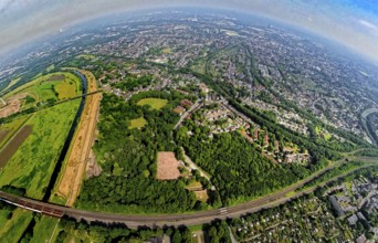
Aerial view, city forest between motorway A52 and ...
BRK25I83_373
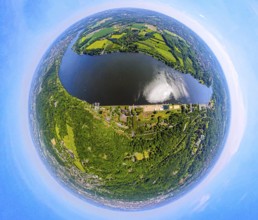
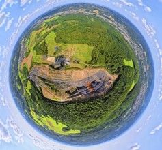
Aerial view, Kerspetalsperre and forest area, eart...
BRK25I83_377
Aerial view, Kerspetalsperre and forest area, eart...
BRK25I97_374
Aerial photo, Lanwehr Quarry Am Langen Stück, Ridi...
BRK25I56_467
Aerial view, view of Bad Lippspringe with congress...
BRK25I78_311
Aerial view, city forest between motorway A52 and ...
BRK25I78_340
Aerial view, Lake Baldeney with Seaside Beach lido...
BRK25I80_054
Aerial view, tailings pile Heringstraße, forest ar...
BRK25I97_161
Aerial view, St. Barbara Klinik with car park and ...
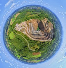
BRK25I97_370
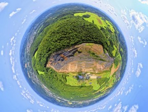
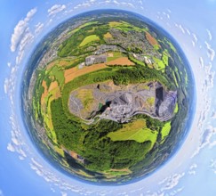
Aerial photo, Ebel quarry, Effenberg plant, Herdri...
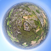
BRK25I56_296
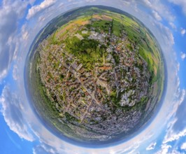
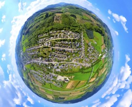
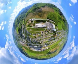
Aerial view, residential area local view Bestwig, ...

BRK25I78_227
City forest Im Uhlenbruch, residential area Soding...
BRK25I97_368
Aerial photo, Ebel quarry, Habbeler Bach Müschede,...
BRK25I56_297
Aerial view, residential area local view Velmede, ...
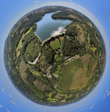
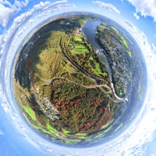
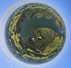
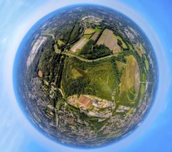
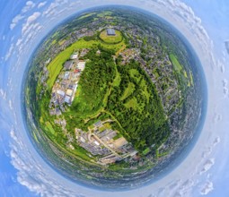
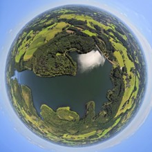
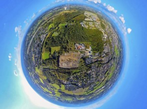
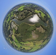
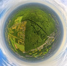
BRK25I65_022
Aerial view, Verse dam and reservoir, earth globe,...
BRK25I78_307
Aerial view, Lake Baldeney and Seaside Beach, belo...
BRK25I78_226
City forest Im Uhlenbruch, residential area Soding...
BRK25I78_310
Aerial view, city forest between motorway A52 and ...
BRK25I80_053
Aerial view, tailings pile Heringstraße, forest ar...
BRK25I97_160
Aerial view, St. Barbara Klinik with car park and ...
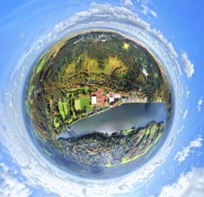
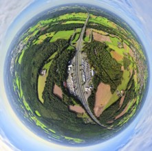
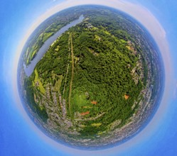
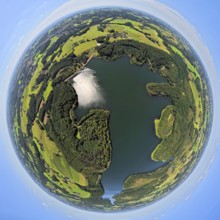
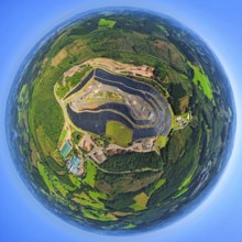
BRK25I65_039
Aerial view, Verse dam, globe, fisheye image, 360 ...
BRK25I78_309
Aerial view, city forest between motorway A52 and ...
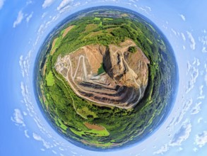
BRK25I97_401
Aerial photo, Ebel quarry, Effenberg plant, Herdri...
BRK25I78_224
Gysenberg amusement park with forest area, Hanniba...
BRK25I80_066
Aerial view, railway tracks and wooded railway lin...
BRK25I97_365
Aerial photo, Ebel quarry, Habbeler Bach Müschede,...
BRK25I78_299
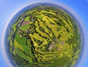
Aerial view, golf course golf club Essen-Heidhause...
BRK25I78_331
Aerial view, Lake Baldeney with Seaside Beach lido...
BRK25I83_376
Aerial view, Kerspetalsperre and forest area, eart...
BRK25I97_373
Aerial photo, Lanwehr Quarry Am Langen Stück, Ridi...
BRK25I56_295
Aerial view, residential area, view of Bestwig, in...
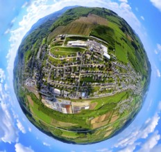
BRK25I65_035
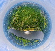
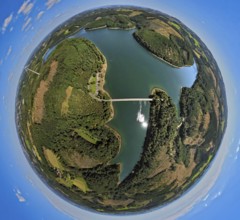
Aerial view, Versetalsperre, Klamer Brücke Landess...
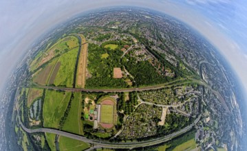
BRK25I76_030
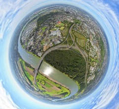
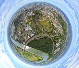
Aerial view, motorway junction Oberhausen with mot...
BRK25I97_400
Aerial photo, Ebel quarry, Effenberg plant, Herdri...
BRK25I65_040
Aerial view, Versetalsperre, forest area with fore...
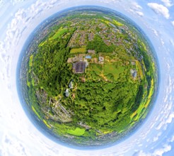
BRK25I76_020
Aerial view, Kaisergarten Park and Zoo, forest wit...
BRK25I76_023
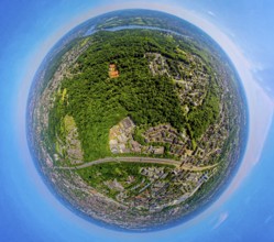
Aerial view, Ruhrpark forest area on the Ruhr rive...
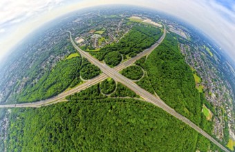
BRK25I76_032
Aerial view, motorway junction Oberhausen with mot...
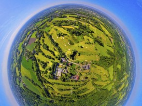
BRK25I78_341
Aerial view, golf course golf club Essen-Heidhause...
BRK25I83_375
Aerial view, Kerspetalsperre and forest area, eart...
BRK25I76_019
Aerial view, Kaisergarten Park and Zoo, forest wit...
BRK25I76_024
Aerial view, Ruhrpark forest area on the Ruhr rive...
BRK25I83_374
Aerial view, Kerspetalsperre and forest area, eart...
BRK25I56_407
Aerial view, construction site, construction area ...
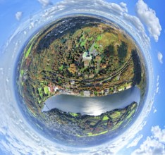
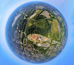
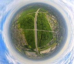
BRK25I65_038
Aerial view, Verse dam, globe, fisheye image, 360 ...
BRK25I72_017
Aerial photo, Werne am See hospital, forest strip,...
BRK25I78_306
Aerial view, Schellenberg forest with housing esta...
BRK25I83_479
Aerial photograph, Lingesetalsperre and forest are...
BRK25I56_299
Aerial view, industrial area Im Öhler, logistics c...
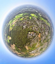
BRK25I65_037
Aerial view, Verse dam, globe, fisheye image, 360 ...
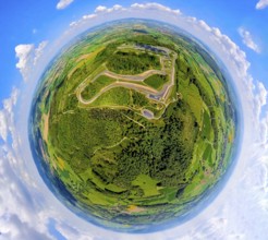
BRK25I57_022
Aerial view, Bilster Berg race track, test track a...
BRK25I76_027
Aerial view, Hiesfeld forest, meadows and fields, ...
BRK25I76_028
Aerial view, motorway junction Oberhausen with mot...
BRK25I83_104
Aerial photograph, Olpe landfill site of Olper Ent...

BRK25H13_164
Map of Guinea, Forest with Water Map, CO2 Reductio...

BRK25H07_105
Map of Wisconsin, Forest with Water Map, CO2 Reduc...

BRK25H13_239
Map of Haiti, Forest with Water Map, CO2 Reduction

BRK25H17_245
Map of Belarus, Forest with Water Map, CO2 Reducti...
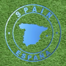
BRK25G58_023
Map of Spain, Forest with Water Map, CO2 Reduction
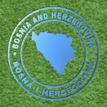
BRK25G15_248
Map of Bosnia and Herzegovina, Forest with Water M...

BRK25G22_435
Map of Nicaragua, Forest with Water Map, CO2 Reduc...

BRK25G23_192
Map of Cook Islands, Forest with Water Map, CO2 Re...

BRK25G25_466
Map of Pennsylvania, Forest with Water Map, CO2 Re...
- Page
-
- of
- 2