5982 results for: flood area
- Page
-
- of
- 60
Please sign in for more results

BRK26C59_098
Beach of Playa de Benijo at high tide with the roc...
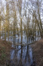
BRK26C62_018
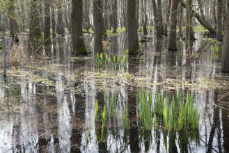
Rigi reflected in the flooded nature reserve in th...
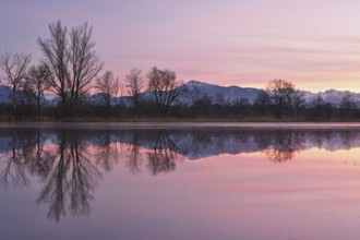
BRK26C60_046
Pilatus reflected in the flooded nature reserve in...
BRK26C61_102
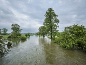
Trees standing in the flooded river Lorze, floodpl...
BRK26C97_276
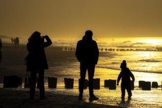
Winter on the North Sea, sunset at sea, beach walk...
BRK26C87_124
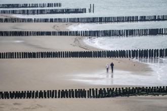
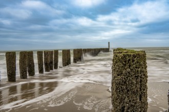
Coastal protection, through wooden posts, paalhoof...
BRK26C68_136
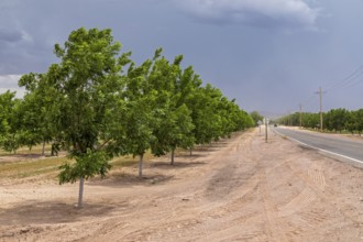
Rincon, New Mexico, Water-hungry pecan trees growi...
BRK26C62_115
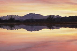
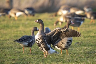
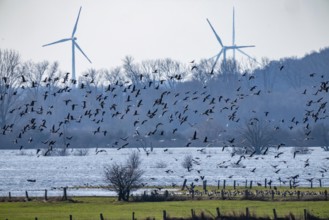
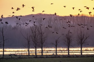
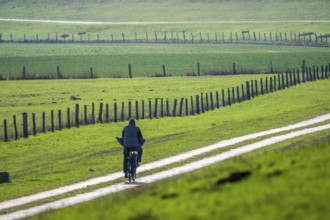
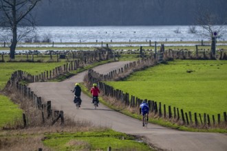
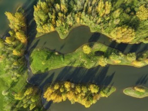
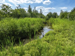
Sunrise, floodplain meadows, floodplain landscape ...
BRK26C63_421
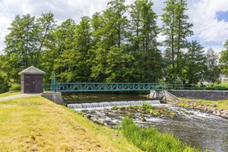
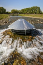
Weir on the Große Röder near Skassa with reflectio...
BRK26C65_275
Weir on the Große Röder near Wildenhain, Großenhai...
BRK26C65_400
Symbolic image extreme weather, global warming, cl...
BRK26C55_404
Symbolic image extreme weather, global warming, cl...
BRK26C56_420
Symbolic image Extreme weather, global warming, cl...

BRK26C62_047
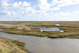
Seagrass meadows on the mudflats in the Schleswig-...
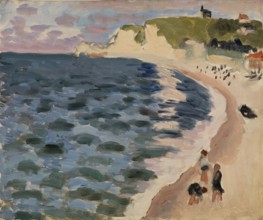
BRK26D05_145
Henri Matisse, Henri Emile Benoit Matisse (born 31...
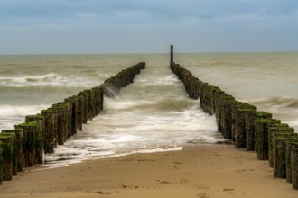
BRK26C70_155
Coastal protection, through wooden posts, paalhoof...
BRK26C85_463
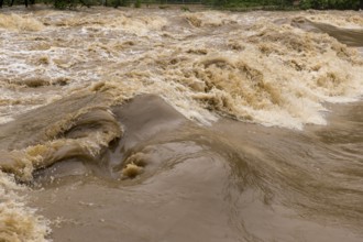
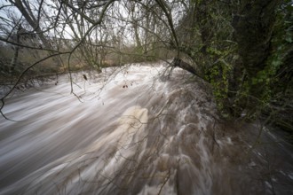
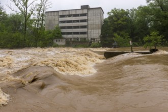
From above, this image captures the violent rush o...
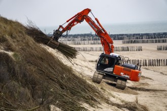
BRK26C95_283
Coastal protection, work on strengthening the dune...
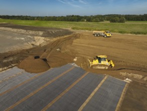
BRK26C99_009
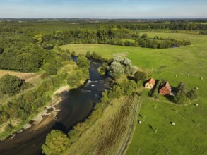
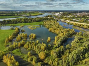
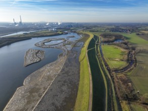
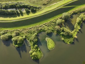
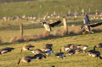
Bislicher Insel, nature reserve on the Rhine, Altr...
BRK26C77_040
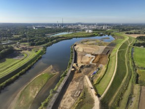
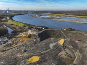
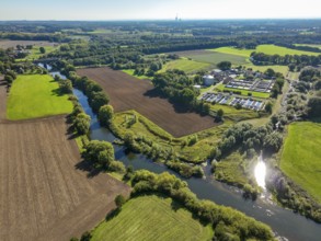
Datteln, North Rhine-Westphalia, Germany - Lippe, ...
BRK26C71_487
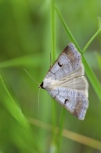
Kidney Spotted Vetch, (Lygephila pastinum), owl mo...
BRK26C81_394
Wesel, Lower Rhine, North Rhine-Westphalia, German...
BRK26C73_331
Haltern-Marl, North Rhine-Westphalia, Germany - Li...
BRK26C72_002
Dinslaken, Voerde, North Rhine-Westphalia, Germany...
BRK26C65_108
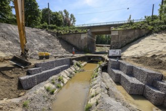
Bottrop, North Rhine-Westphalia, Germany, Renatura...
BRK26C98_488
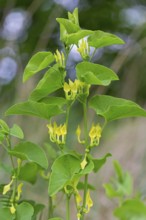
European Birthwort, (Aristolochia clematitis), pla...
BRK26C72_308
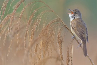
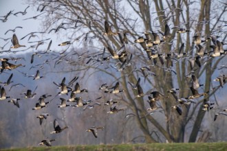
Reed warbler, (Acrocephalus arundinaceus), reedbed...
BRK26C73_003
Oberhausen, Ruhr area, North Rhine-Westphalia, Ger...
BRK26C77_167
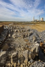
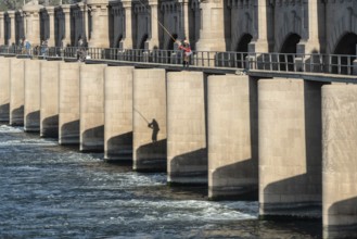
Haltern, North Rhine-Westphalia, Germany, flood pr...

BRK26C89_335
Black woolly hoverfly, bumblebee hoverfly, mournin...
BRK26C69_104
Haltern-Marl, North Rhine-Westphalia, Germany - Li...
BRK26C81_098
Haltern-Marl, North Rhine-Westphalia, Germany - Li...
BRK26C90_329
Haltern-Marl, North Rhine-Westphalia, Germany - Li...
BRK26C69_134
Haltern-Marl, North Rhine-Westphalia, Germany - Li...
BRK26C86_377
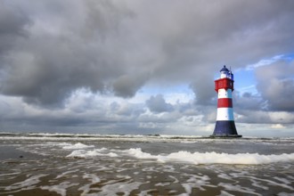
The lighthouse Roter Sand in front of blue sky wit...
BRK26C94_273
Oberhausen, Ruhr area, North Rhine-Westphalia, Ger...
BRK26C96_299
Datteln, North Rhine-Westphalia, Germany - Lippe l...
BRK26C64_220
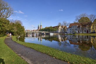
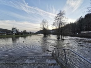
River Trave at high water, general architecture, f...
BRK26C65_328
Symbolic image extreme weather, global warming, cl...
BRK26C10_207
Bislicher Insel, nature reserve on the Rhine, Altr...
BRK26C07_327
Bislicher Insel, nature reserve on the Rhine, Altr...
BRK26C10_205
Bislicher Insel, nature reserve on the Rhine, Altr...
BRK26C25_345
Bislicher Insel, nature reserve on the Rhine, Altr...
BRK26C10_466
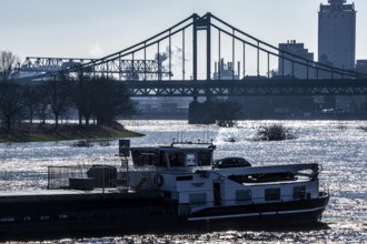
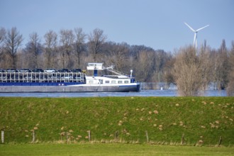
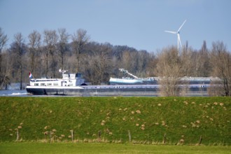
Cargo ship, Krefeld-Uerdinger bridge across the Rh...
BRK26C48_313
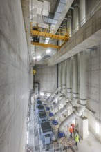
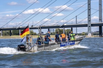
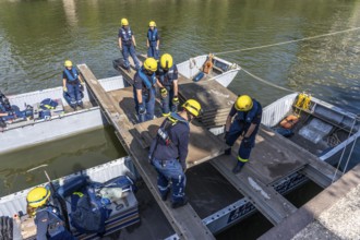
Multi-purpose boat of the THW during a training tr...

BRK26C28_126
Winter on the North Sea, sunset at the beach, jogg...
BRK26C43_321
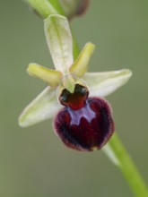
Spider orchid (Ophrys sphecodes), single flower, c...
BRK26C25_342
The Bislicher Insel, nature reserve on the Rhine, ...
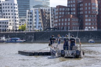
BRK26C48_314
Transport of a floating platform with the jet-floa...
BRK26C08_396
Bislicher Insel, in winter, floods in the floodpla...
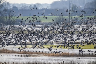
BRK26C10_208
Bislicher Insel, nature reserve on the Rhine, Altr...
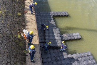
BRK26C48_315
Construction of a floating platform with the jet-f...
BRK26C27_237
Wetland habitat of Boyton and Hollesley Marshes Na...
BRK26C10_209
Bislicher Insel, nature reserve on the Rhine, Altr...
BRK26C19_296
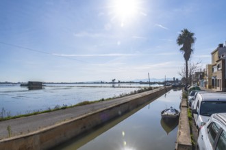
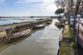
Traditional humble houses lining a narrow water ca...
BRK26C25_346
Bislicher Insel, nature reserve on the Rhine, Altr...
BRK26C09_166
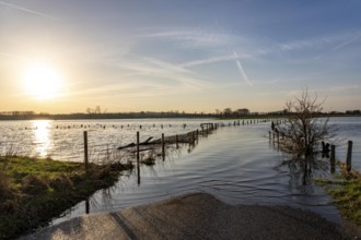
Floods on the Rhine, Lower Rhine near Xanten, Bisl...
BRK26C08_397
Bislicher Insel, in winter, floods in the floodpla...
BRK26C10_206
Bislicher Insel, nature reserve on the Rhine, Altr...

BRK26C28_121
Winter on the North Sea, sunset at sea, beach walk...
BRK26C09_171
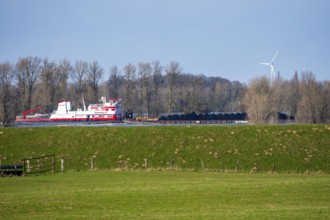
Schubverband HGK Herkules II, coal for the steel i...
BRK26C10_210
Bislicher Insel, nature reserve on the Rhine, Altr...
BRK26C10_211
Bislicher Insel, nature reserve on the Rhine, Altr...
BRK26C25_350
The Bislicher Insel, nature reserve on the Rhine, ...
BRK26C28_123
Coastal protection, through wooden posts, paalhoof...
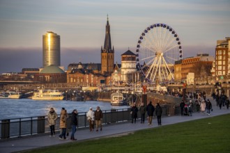
BRK26C44_298
Rhine promenade in Düsseldorf, Ferris wheel, old c...
BRK26C25_343
The Bislicher Insel, nature reserve on the Rhine, ...
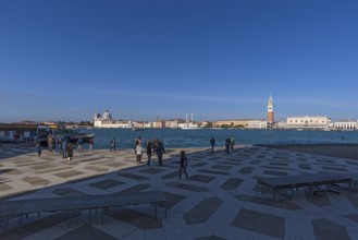
BRK26C26_234
View of Venice from San Giorgio Maggiore Island, f...
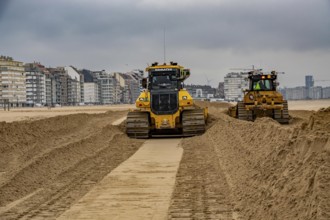
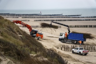
BRK26C28_122
Bulldozers when distributing sand on the beach in ...
BRK26C08_405
The Bislicher Insel, in winter, dyke path, nature ...
BRK26C48_312
Construction of a multi-purpose pontoon, the speci...
BRK26C08_398
Bislicher Insel, in winter, floods in the floodpla...
BRK26C19_183
Traditional boats moored along a narrow canal in e...
BRK26C09_187
Floods on the Rhine, Lower Rhine near Xanten, heig...
BRK26C25_341
Bislicher Insel, nature reserve on the Rhine, Altr...
BRK26C25_347
Bislicher Insel, nature reserve on the Rhine, Altr...
BRK26C25_369
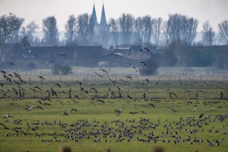
Melting snow causes flooding at the Landesgartensc...
BRK26C28_127
Coastal protection, work on strengthening the dune...
BRK26C09_188
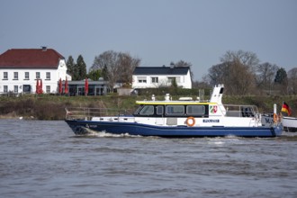
Boat of the North Rhine-Westphalia Water Protectio...
BRK26C25_004
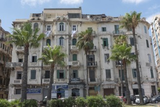
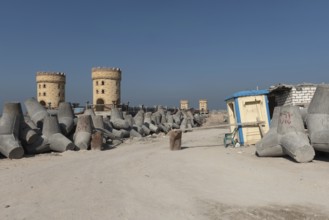
Weather worn traditional architecture of Alexandri...
BRK26C48_038
Wesel, Lower Rhine, North Rhine-Westphalia, German...
BRK26C49_299
Bottrop, North Rhine-Westphalia, Germany - Renatur...
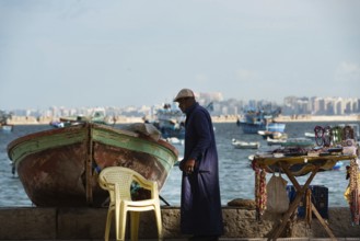
BRK26C25_010
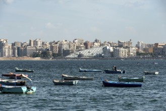
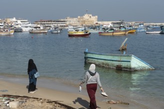
Alexandria, Egypt. December 3rd 2022 Local fisherm...

BRK26C25_012
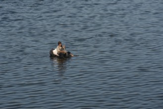
Alexandria, Egypt. December 1st 2022 Young Egyptia...
BRK26B54_495
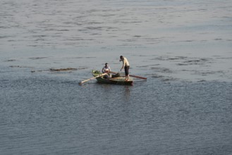
Qanater, Nile Delta. Egypt. December 18th 2022 An ...
BRK26B54_498
Qanater, Nile Delta. Egypt. December 18th 2022 Egy...
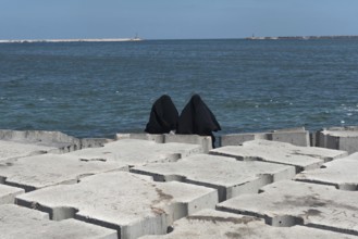
BRK26C25_002
Two Muslim women wearing black abaya or chador sit...
BRK26C25_007
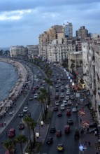
Old high rise buildings overlooking the busy Corni...
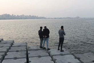
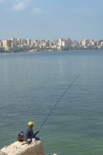
BRK26C25_017
Alexandria, Egypt. December 1st 2022 Young Egyptia...
BRK26C25_180
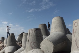
Alexandria, Egypt. December 1st 2022 Construction ...
BRK26C41_112
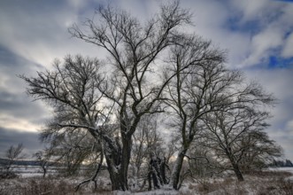
Wintery floodplain landscape along the Schmutter i...
BRK26C25_176
Alexandria, Egypt. December 1st 2022 Two Muslim wo...
BRK26B54_489
Qanater, Nile Delta. Egypt. December 18th 2022 Egy...
BRK26B54_497
Qanater, Nile Delta. Egypt. December 18th 2022 An ...
BRK26C25_188
Alexandria, Egypt. December 1st 2022 Young Egyptia...
BRK26C04_441
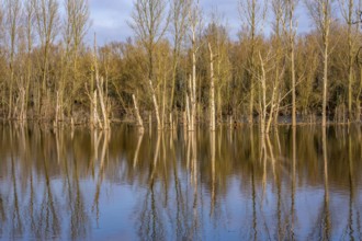
Flooded forest Alder quarry Floodplain forest Alde...
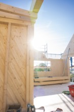
BRK26B64_194
Sunlight floods the construction site's timber str...
BRK26C08_440
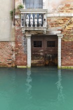
Dilapidated house façade with balcony and door on ...
BRK26C25_035
Alexandria, Egypt. December 1st 2022 An informal t...
BRK26C25_183
Alexandria, Egypt. December 1st 2022 A local fishe...
- Page
-
- of
- 60