Period

19563 results for: drone shot

  • Page
  • of
  • 196
Please sign in for more results
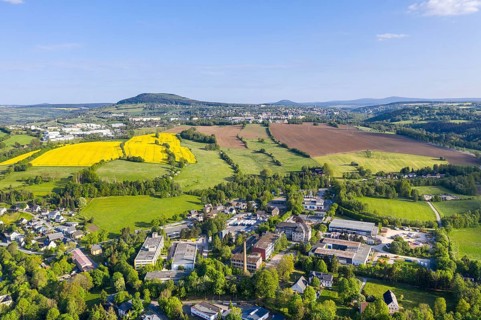
Aerial view with Pöhlberg and mountain town Annaberg-Buchholz, in the background the Bärenstein,
BRK26I89_428

Aerial view with Pöhlberg and mountain town Annabe...
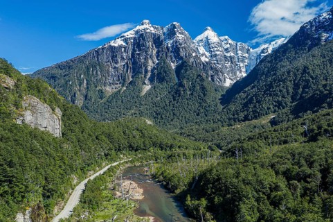
River Rio Norte in the valley Valle Exploradores, road from Puerto Rio Tranquilo to Bahia
BRK26I89_196

River Rio Norte in the valley Valle Exploradores, ...
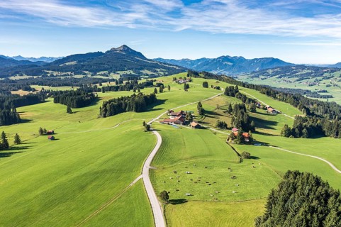
Aerial view of rural road in meadows, farm Binzeler, mountain Grünten in the back, Allgäu, Germany
BRK26I95_486

Aerial view of rural road in meadows, farm Binzele...

Aerial view of Belvedere in the vineyard with Jacobstein vineyard pavilion, Wackerbarth Castle
BRK26I78_147

Aerial view of Belvedere in the vineyard with Jaco...
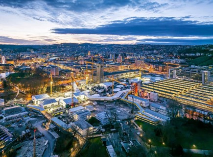
Main station, Stuttgart 21 construction site, where the new through station is being built. Night
BRK26I81_158

Main station, Stuttgart 21 construction site, wher...
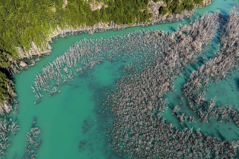
Flooded forest with dead trees, river Rio Norte damned by landslide, new lake, aerial view, Valle
BRK26I73_145

Flooded forest with dead trees, river Rio Norte da...
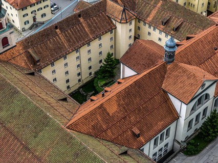
Aerial view of monastery Disentis, village Disentis, Switzerland
BRK26I62_033

Aerial view of monastery Disentis, village Disenti...
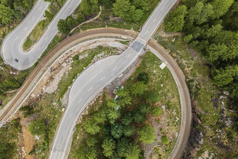
Red train of the Rhaetian railroad line, Bernina Express, 180 degree turn at the Montebello curve,
BRK26I69_276

Red train of the Rhaetian railroad line, Bernina E...
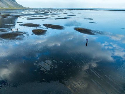
Aerial view of black lava beach at Mt. Vestrahorn, people on the beach, clouds are reflected on the
BRK26I74_477

Aerial view of black lava beach at Mt. Vestrahorn,...
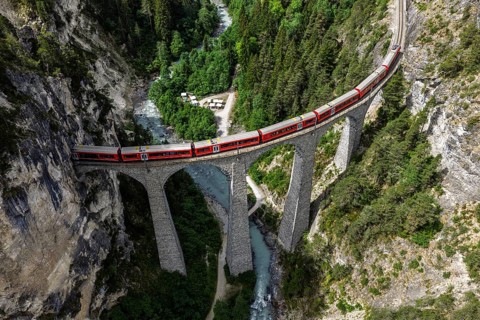
Red train of the Rhaetian railroad line, Bernina Express, passing the Landwasser Viaduct, arch
BRK26I63_026

Red train of the Rhaetian railroad line, Bernina E...
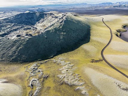
Mountain road F206 along moss-covered Laki crater or Lakagígar, series of craters, aerial view,
BRK26I91_310

Mountain road F206 along moss-covered Laki crater ...
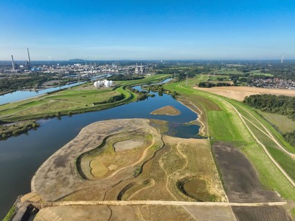
Haltern-Marl, North Rhine-Westphalia, Germany - Lippe, flood protection in the
BRK26I67_218

Haltern-Marl, North Rhine-Westphalia, Germany - Li...
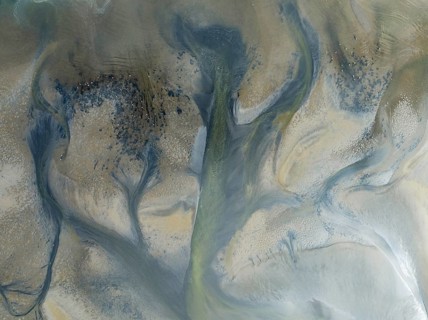
Streams and marshes at low tide in the wetlands of the Walvis Bay lagoon. In the distance Greater
BRK26I90_093

Streams and marshes at low tide in the wetlands of...
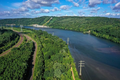
Hagen, Herdecke, North Rhine-Westphalia, Germany - The Hengsteysee is a reservoir completed in 1929
BRK26I77_232

Hagen, Herdecke, North Rhine-Westphalia, Germany -...
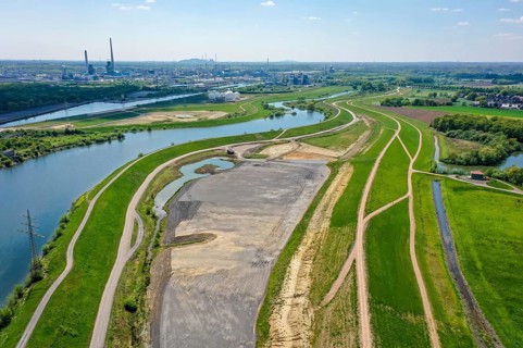
Haltern-Marl, North Rhine-Westphalia, Germany, Lippe, Flood protection in the
BRK26J01_312

Haltern-Marl, North Rhine-Westphalia, Germany, Lip...
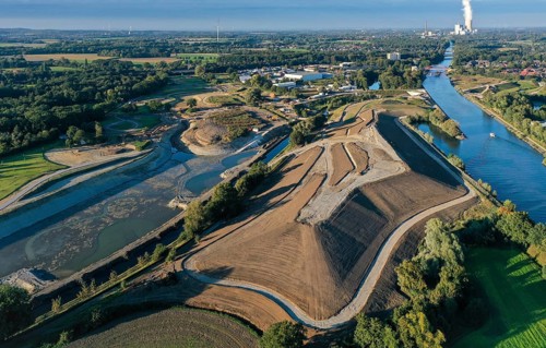
Recklinghausen, Castrop-Rauxel, North Rhine-Westphalia, Germany - EMSCHERLAND construction project,
BRK26I82_332

Recklinghausen, Castrop-Rauxel, North Rhine-Westph...
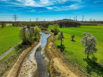
Dorsten, North Rhine-Westphalia, Germany - Renaturalised Rapphofs (also Rapphoffs) Mühlenbach,
BRK26I56_145

Dorsten, North Rhine-Westphalia, Germany - Renatur...
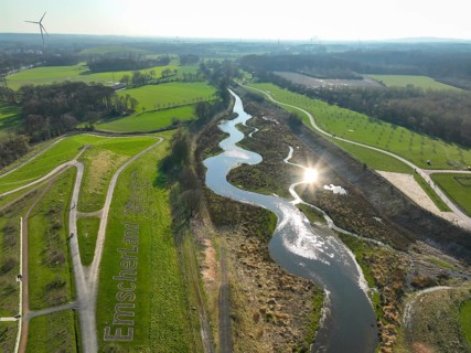
Castrop-Rauxel, Ruhr region, North Rhine-Westphalia, Germany - Restored Emscher, EMSCHERLAND
BRK26I99_191

Castrop-Rauxel, Ruhr region, North Rhine-Westphali...
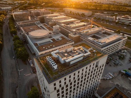
Large building complex at sunset with green roofs and urban surroundings, construction site of the
BRK26I53_208

Large building complex at sunset with green roofs ...
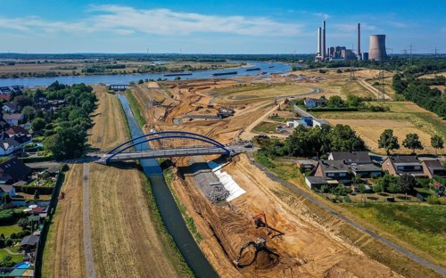
Dinslaken, North Rhine-Westphalia, Germany, Emscher estuary into the Rhine. On the right, the
BRK26I81_087

Dinslaken, North Rhine-Westphalia, Germany, Emsche...
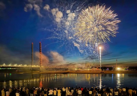
Rhine fair with Rheinkniebrücke, many people watch the fireworks at night, Düsseldorf, North
BRK26I53_142

Rhine fair with Rheinkniebrücke, many people watch...
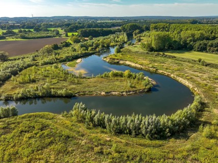
Datteln, North Rhine-Westphalia, Germany - Lippe, river and floodplain development of the Lippe
BRK26I66_481

Datteln, North Rhine-Westphalia, Germany - Lippe, ...
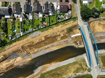
Dinslaken, North Rhine-Westphalia, Germany, renaturalisation of the Emscher shortly in front of it
BRK26I90_439

Dinslaken, North Rhine-Westphalia, Germany, renatu...
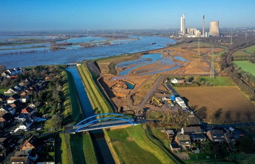
Dinslaken, North Rhine-Westphalia, Germany, Emscher estuary into the Rhine. On the right, the
BRK26J02_209

Dinslaken, North Rhine-Westphalia, Germany, Emsche...
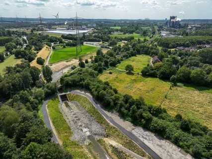
Bottrop, North Rhine-Westphalia, Germany, Renaturalised Boye in the Ruhr industrial landscape, the
BRK26I80_109

Bottrop, North Rhine-Westphalia, Germany, Renatura...
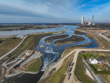
Dinslaken, Voerde, North Rhine-Westphalia, Germany - New Emscher estuary into the Rhine.
BRK26I84_261

Dinslaken, Voerde, North Rhine-Westphalia, Germany...
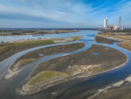
Dinslaken, Voerde, North Rhine-Westphalia, Germany - New Emscher estuary into the Rhine.
BRK26I81_354

Dinslaken, Voerde, North Rhine-Westphalia, Germany...
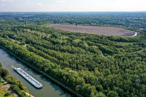
Essen, North Rhine-Westphalia, Germany - Schurenbachhalde canal bank park. The Schurenbachhalde on
BRK26J02_054

Essen, North Rhine-Westphalia, Germany - Schurenba...

Conveyor belt and salt heaps at the Walvis Bay Salt works. Aerial view. Drone shot. Walvis Bay,
BRK26I71_211

Conveyor belt and salt heaps at the Walvis Bay Sal...
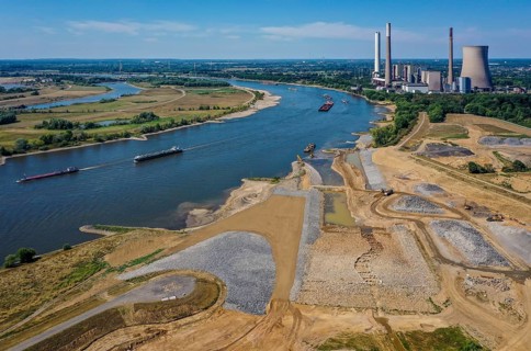
Dinslaken, Voerde, North Rhine-Westphalia, Germany, Emscher estuary into the Rhine. Construction
BRK26J01_128

Dinslaken, Voerde, North Rhine-Westphalia, Germany...
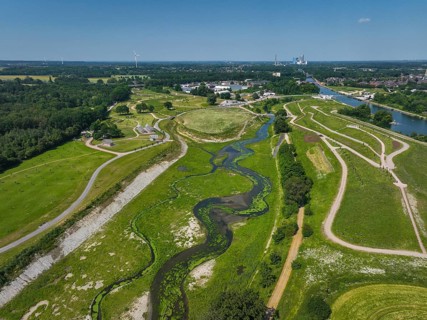
Castrop-Rauxel, Recklinghausen, North Rhine-Westphalia, Germany, EMSCHERLAND adventure park at the
BRK26I91_489

Castrop-Rauxel, Recklinghausen, North Rhine-Westph...
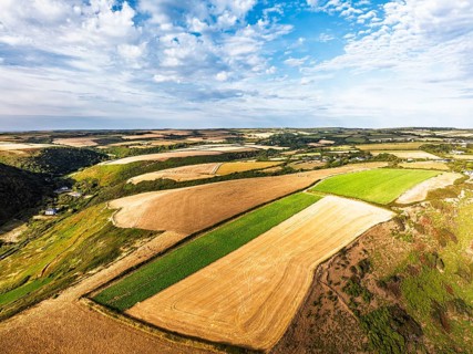
Cliffs and Farms over North Devon and Cornwall Coastpath Border from a drone, Welcombe Mouth Beach,
BRK26I53_356

Cliffs and Farms over North Devon and Cornwall Coa...
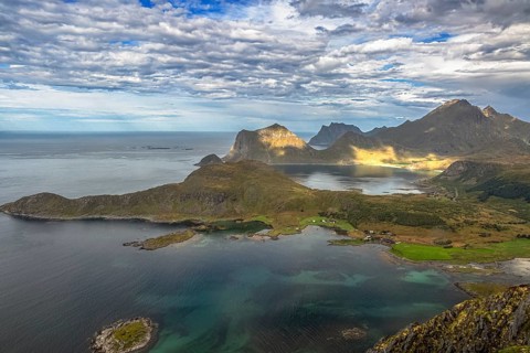
Dramatic aerial view of Lofoten coast with rugged mountains, turquoise sea and green landscape from
BRK26I52_490

Dramatic aerial view of Lofoten coast with rugged ...
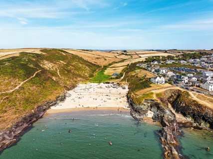
Polzeath Beach over Padstow Bay from a drone, Polzeath, Cornwall, England, Summer 2026
BRK26I61_052

Polzeath Beach over Padstow Bay from a drone, Polz...
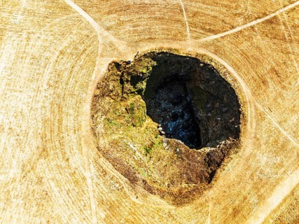
Top Down View of Trevone Round Hole over Trevone Bay from a drone, Trevone, Padstow, Cornwall,
BRK26I61_266

Top Down View of Trevone Round Hole over Trevone B...
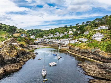
Polperro Harbour and Village from a drone, Polperro, Looe, Cornwall, England, United Kingdom
BRK26I66_317

Polperro Harbour and Village from a drone, Polperr...
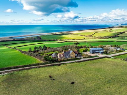
Farms over Swyre and West Bexington from a drone, West Bexington Nature Reserve, S W Coast Path,
BRK26I82_334

Farms over Swyre and West Bexington from a drone, ...
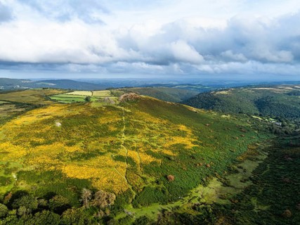
Sharp Tor from a drone, Dartmeet, East Dartmoor, Devon, England, United Kingdom
BRK26I99_115

Sharp Tor from a drone, Dartmeet, East Dartmoor, D...
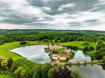
Leeds Castle from a drone, River Len, Kent, EnglandDefault
BRK26I53_219

Leeds Castle from a drone, River Len, Kent, Englan...
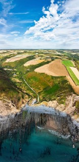
Cliffs and Farms over North Devon and Cornwall Coastpath Border from a drone, Welcombe Mouth Beach,
BRK26I57_188

Cliffs and Farms over North Devon and Cornwall Coa...
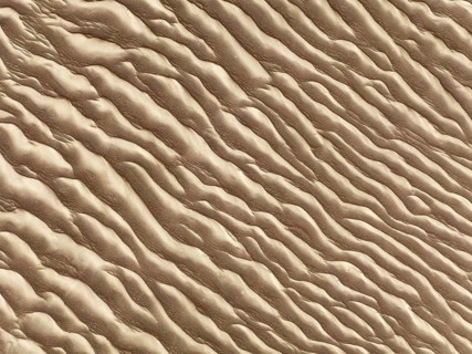
Sand patterns in the Namib Desert. Aerial view. Drone shot. Skeleton Coast, Namibia
BRK26I59_030

Sand patterns in the Namib Desert. Aerial view. Dr...
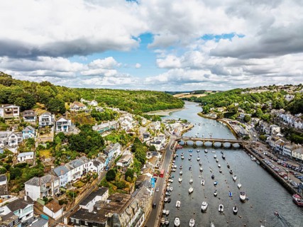
LOOE over River Looe from a drone, Cornwall, England, United Kingdom
BRK26I60_002

LOOE over River Looe from a drone, Cornwall, Engla...
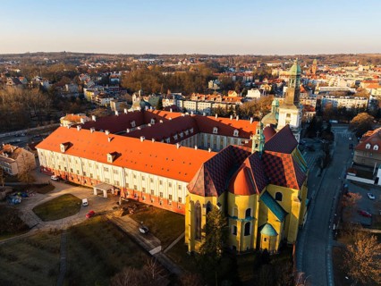
Drone aerial view of the Sanctuary of Saint Hedwig in Trzebnica, Poland, featuring the historic
BRK26I62_192

Drone aerial view of the Sanctuary of Saint Hedwig...
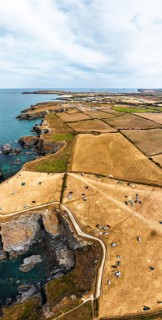
Panorama of Farms and Fields over Cliffs and Porthcothan Bay from a drone, Porthcothan, Padstow,
BRK26I64_262

Panorama of Farms and Fields over Cliffs and Porth...
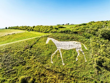
Litlington White Horse over Cuckmere Valley from a drone, Hindover Hill, South Downs, East Sussex,
BRK26I64_382

Litlington White Horse over Cuckmere Valley from a...
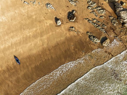
Top Down view fo woman with kayak over Beach from a drone, North Devon and Cornwall Coastpath
BRK26I66_208

Top Down view fo woman with kayak over Beach from ...
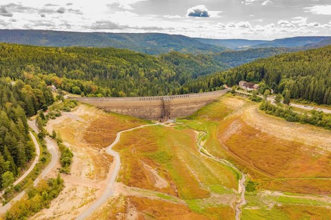
Dam in an autumnal mountain landscape, surrounded by extensive forest areas, rehabilitation of the
BRK26I66_210

Dam in an autumnal mountain landscape, surrounded ...
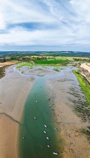
Panorama of Fields and Farms over Bosham Quay from a drone, Chichester Harbour National Landscape,
BRK26I67_314

Panorama of Fields and Farms over Bosham Quay from...
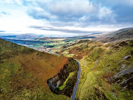
Autumn colours over Mach Loop from a drone, Minffordd, Tywyn, Wales, UK
BRK26I86_023

Autumn colours over Mach Loop from a drone, Minffo...
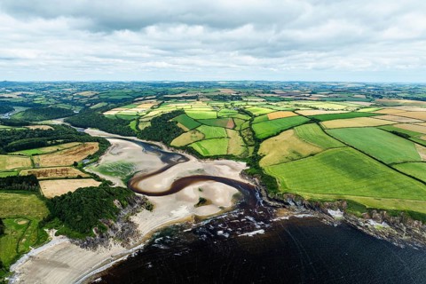
Cliffs over Mothecombe Beach and Red Cove from a drone, River Emme, Mothecombe, Plymouth, South
BRK26I93_243

Cliffs over Mothecombe Beach and Red Cove from a d...
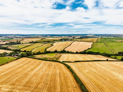
Cornwall Fields and Farms from a drone, Polruan, Cornwall, EnglandDefault
BRK26I53_432

Cornwall Fields and Farms from a drone, Polruan, C...
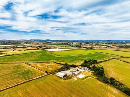
Cornwall Fields and Farms from a drone, Polruan, Cornwall, EnglandDefault
BRK26I54_199

Cornwall Fields and Farms from a drone, Polruan, C...
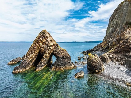
Blackchurch Rock and Cliffs over Mouthmill Beach from a drone, North Devon Coast, Devon, England,
BRK26I55_475

Blackchurch Rock and Cliffs over Mouthmill Beach f...
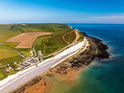
Seven Sisters Cliffs from a drone, English Channel, East Sussex, South-east England
BRK26I56_423

Seven Sisters Cliffs from a drone, English Channel...
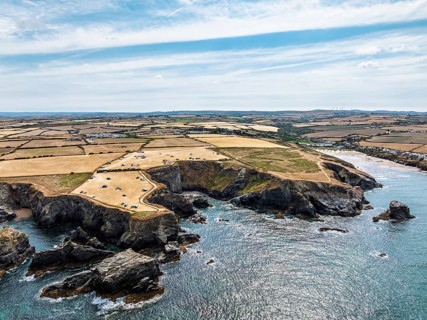
Farms and Fields over Cliffs and Porthcothan Bay from a drone, Porthcothan, Padstow, Cornwall,
BRK26I58_301

Farms and Fields over Cliffs and Porthcothan Bay f...
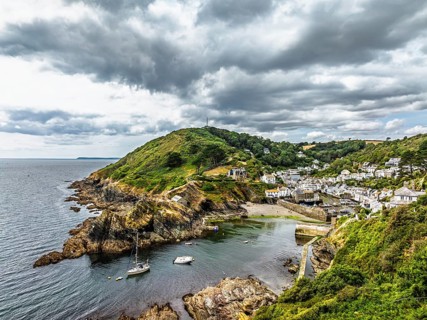
Polperro Harbour and Village from a drone, Polperro, Looe, Cornwall, England, United Kingdom
BRK26I62_085

Polperro Harbour and Village from a drone, Polperr...
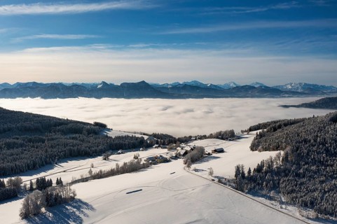
Drone flight over a winter landscape with farmhouses and sea of fog, Mondseeland, Salzkammergut,
BRK26I86_323

Drone flight over a winter landscape with farmhous...
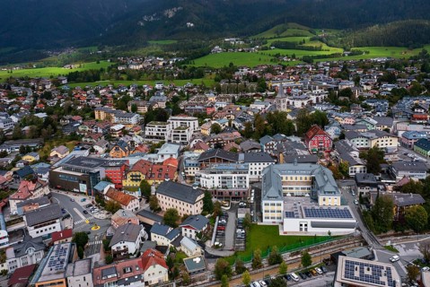
Drone image, residential buildings, town view, Saalfelden am Steinernen Meer, Pinzgau, Salzburg
BRK26I91_148

Drone image, residential buildings, town view, Saa...
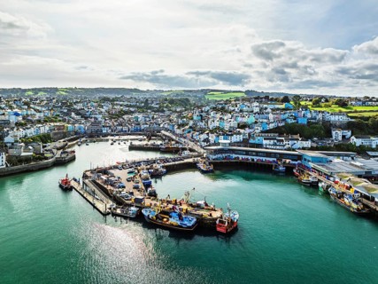
Brixham Hourbour and Brixham Marina from a drone, Brixham, Torbay, Devon, England, United Kingdom
BRK26I93_114

Brixham Hourbour and Brixham Marina from a drone, ...

From above, this aerial drone capture showcases a breathtaking view of abstract natural textures,
BRK26J01_088

From above, this aerial drone capture showcases a ...
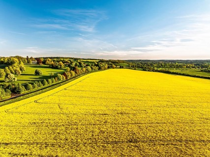
Rapeseed Fields and Farms over Horsebridge nad Stockbridge from a drone, Hampshire, England, United
BRK26I54_031

Rapeseed Fields and Farms over Horsebridge nad Sto...
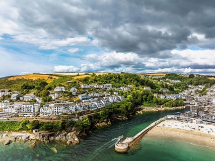
Beach and Cliffs over Looe Bay from a drone, Looe, River Looe, Cornwall, England, United Kingdom
BRK26I56_154

Beach and Cliffs over Looe Bay from a drone, Looe,...
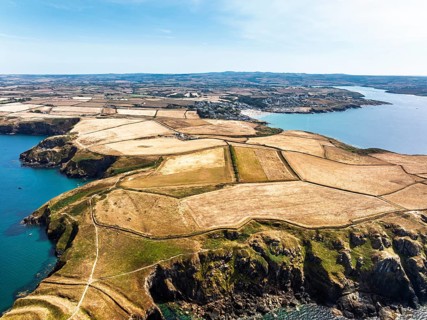
Seven Souls Rock and Pentire Point and Bay over Padstow Bay from a drone, Polzeath, Cornwall,
BRK26I59_207

Seven Souls Rock and Pentire Point and Bay over Pa...
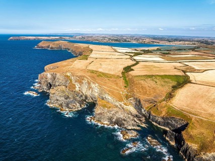
View of cliffs over Gunver Head and Trevone Bay from a drone, Trevone, Padstow, Cornwall, England,
BRK26I60_260

View of cliffs over Gunver Head and Trevone Bay fr...
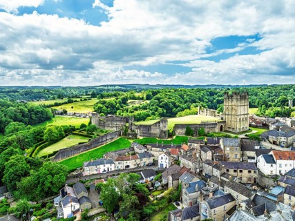
Richmond Castle from a drone, Richmond, Yorkshire Dales, North Yorkshire, England, United Kingdom
BRK26I60_269

Richmond Castle from a drone, Richmond, Yorkshire ...
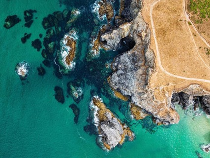
Top Down view of Cliffs over Porthcothan Bay from a drone, Porthcothan, Padstow, Cornwall, England,
BRK26I61_124

Top Down view of Cliffs over Porthcothan Bay from ...
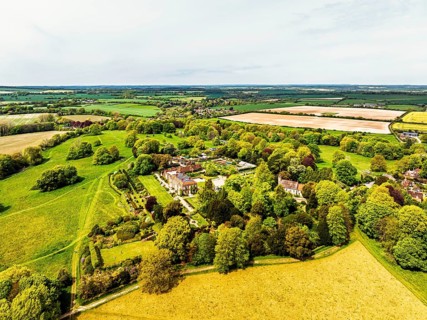
Hinton Ampner House and Garden from a drone, Winchester, Hampshire, England, United Kingdom
BRK26I70_117

Hinton Ampner House and Garden from a drone, Winch...
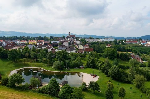
Drone image, bathing lake, Tragwein, Freistadt district, Mühlviertel, Upper Austria, Austria
BRK26I77_446

Drone image, bathing lake, Tragwein, Freistadt dis...
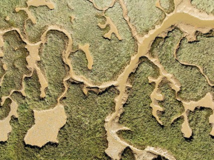
Network of channels and streams at low tide. In the marshland of the Piedras River. Aerial view.
BRK26I80_448

Network of channels and streams at low tide. In th...
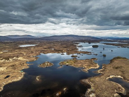
Rannoch Moor from a drone over Loch Ba and Loch of the Armpit, A82 Highland Way, Argyll and Bute,
BRK26I91_033

Rannoch Moor from a drone over Loch Ba and Loch of...
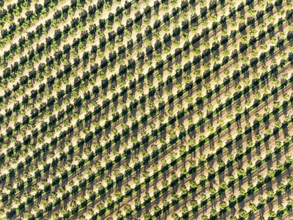
Cultivated trees. Aerial view. Drone shot. Huelva province, Andalusia, Spain
BRK26I91_318

Cultivated trees. Aerial view. Drone shot. Huelva ...
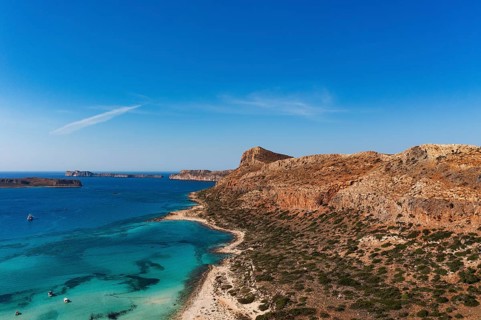
Drone shot, Gramvousa peninsula with view to the beach and bay of Balos, Kolimbari, West Crete,
BRK26I96_328

Drone shot, Gramvousa peninsula with view to the b...
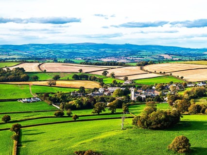
Colours of Devon Farms and Fields over Berry Pomeroy from a drone, Totnes, England, United Kingdom
BRK26J02_139

Colours of Devon Farms and Fields over Berry Pomer...
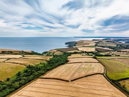
Cornwall Fields and Farms from a drone, Polruan, Cornwall, England, United Kingdom
BRK26I53_079

Cornwall Fields and Farms from a drone, Polruan, C...
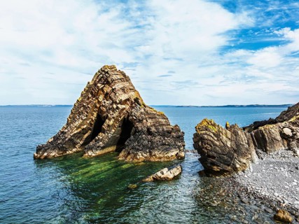
Blackchurch Rock and Cliffs over Mouthmill Beach from a drone, North Devon Coast, Devon, England,
BRK26I58_454

Blackchurch Rock and Cliffs over Mouthmill Beach f...
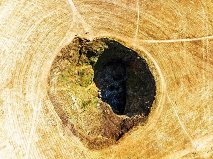
Top Down View of Trevone Round Hole over Trevone Bay from a drone, Trevone, Padstow, Cornwall,
BRK26I61_060

Top Down View of Trevone Round Hole over Trevone B...
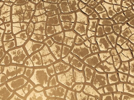
Cracked earth. Aerial view. Drone shot. Namib Desert, Skeleton Coast, Namibia
BRK26I61_460

Cracked earth. Aerial view. Drone shot. Namib Dese...
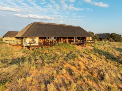
The main building of the Ta Shebube Rooiputs Lodge in the Kalahari Desert during the rainy season
BRK26I72_262

The main building of the Ta Shebube Rooiputs Lodge...
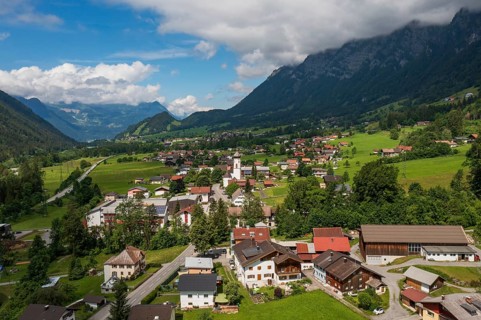
Drone image, view of the village with parish church, Braz, Klostertal, Vorarlberg, Austria
BRK26I76_195

Drone image, view of the village with parish churc...
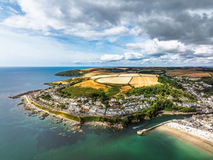
Beach and Cliffs over Looe Bay from a drone, Looe, River Looe, Cornwall, England, United Kingdom
BRK26I53_240

Beach and Cliffs over Looe Bay from a drone, Looe,...
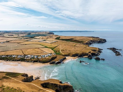
Farms and Fields over Cliffs and Porthcothan Bay from a drone, Porthcothan, Padstow, Cornwall,
BRK26I56_136

Farms and Fields over Cliffs and Porthcothan Bay f...
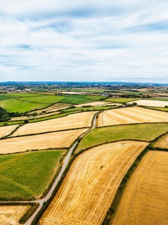
Cornwall Fields and Farms from a drone, Polruan, Cornwall, England, United Kingdom
BRK26I57_140

Cornwall Fields and Farms from a drone, Polruan, C...
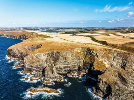
View of cliffs over Gunver Head and Trevone Bay from a drone, Trevone, Padstow, Cornwall, England,
BRK26I58_467

View of cliffs over Gunver Head and Trevone Bay fr...
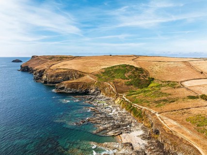
View of Pentire Point and Bay over Padstow Bay from a drone, Polzeath, Cornwall, England, Summer
BRK26I59_037

View of Pentire Point and Bay over Padstow Bay fro...
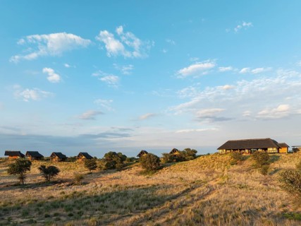
The Ta Shebube Rooiputs Lodge in the Kalahari Desert during the rainy season with green vegetation.
BRK26I72_459

The Ta Shebube Rooiputs Lodge in the Kalahari Dese...
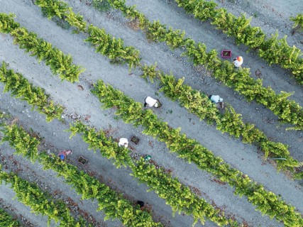
Vintage at the vineyard of the Bodega González Byass near the town of Jerez de la Frontera. Aerial
BRK26I73_330

Vintage at the vineyard of the Bodega González Bya...
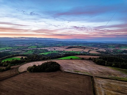
Sunset of Devon Farms and Fields over Berry Pomeroy from a drone, Totnes, England, United Kingdom
BRK26I84_118

Sunset of Devon Farms and Fields over Berry Pomero...
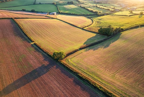
Top Down over Fields and Farmlands from a drone, Devon, England, United Kingdom
BRK26I95_175

Top Down over Fields and Farmlands from a drone, D...
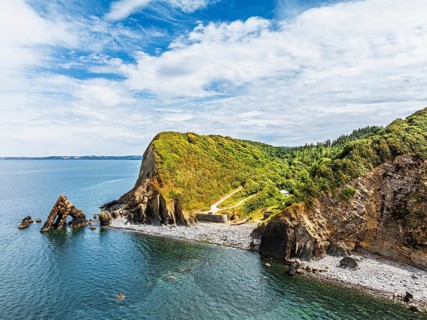
Blackchurch Rock and Cliffs over Mouthmill Beach from a drone, North Devon Coast, Devon, England,
BRK26I58_299

Blackchurch Rock and Cliffs over Mouthmill Beach f...
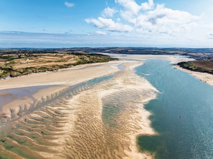
View of River Camel Estuary from a drone at low tide over Padstow and Rock, Cornwall, England,
BRK26I54_181

View of River Camel Estuary from a drone at low ti...
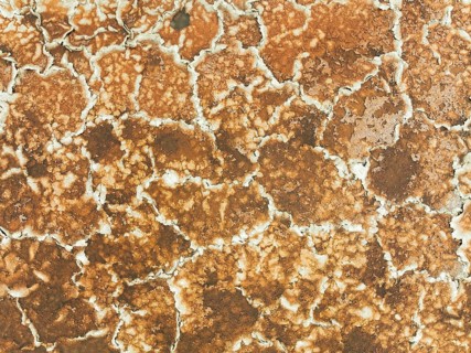
Salt marsh at the Skeleton Coast. Aerial view. Drone shot. Dorob National Park, Namibia
BRK26I52_483

Salt marsh at the Skeleton Coast. Aerial view. Dro...
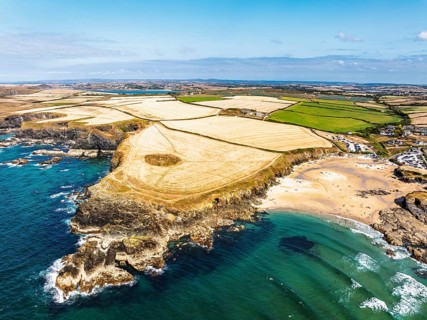
View of Trevone Beach and Trevone Bay from a drone, Trevone, Padstow, Cornwall, England, United
BRK26I60_064

View of Trevone Beach and Trevone Bay from a drone...
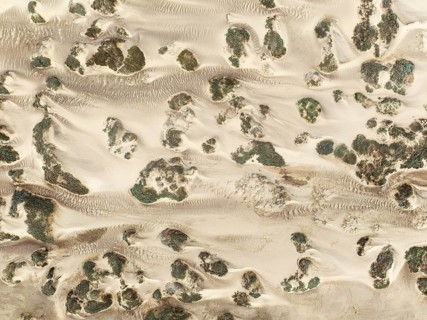
Sand hummocks caused by dwarf shrubs. Aerial view. Drone shot. Namib Desert, Skeleton Coast,
BRK26I62_384

Sand hummocks caused by dwarf shrubs. Aerial view....
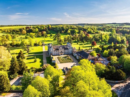
Wilton House from a drone, Wilton, River Nadder, Salisbury, Wiltshire, England, United Kingdom
BRK26I67_417

Wilton House from a drone, Wilton, River Nadder, S...

Sparse desert vegetation, mainly Salsola species. Aerial view. Drone shot. Namib Desert, Skeleton
BRK26I69_334

Sparse desert vegetation, mainly Salsola species. ...
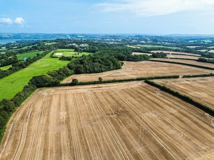
Cornwall Fields and Farms from a drone, River Tamar, Plymouth, England, United Kingdom
BRK26I87_472

Cornwall Fields and Farms from a drone, River Tama...
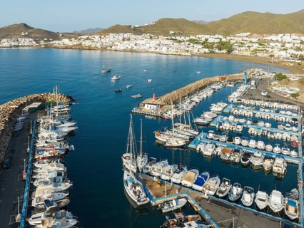
The marina of San José. Aerial view. Drone shot. Nature Reserve Cabo de Gata-Nijar, Almería
BRK26I89_396

The marina of San José. Aerial view. Drone shot. N...
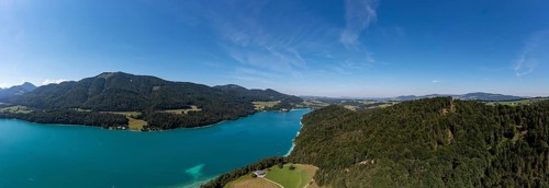
Drone shot, Fuschl Castle, Fuschlsee, Fuschl am See, Salzkammergut, Land Salzburg, Austria
BRK26I93_363

Drone shot, Fuschl Castle, Fuschlsee, Fuschl am Se...
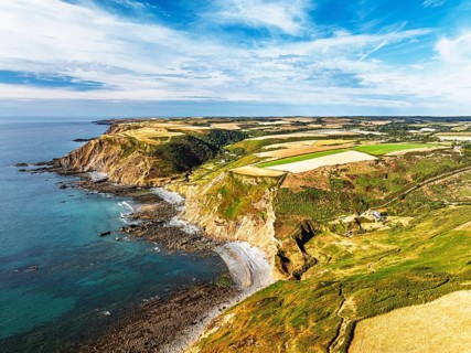
Cliffs and Fields over Welcombe Mouth Beach from a drone, North Devon and Cornwall Coastpath
BRK26I53_031

Cliffs and Fields over Welcombe Mouth Beach from a...
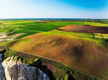
Farm and Fields over Bempton Cliffs from a drone, Yorkshire, England, United Kingdom
BRK26I54_414

Farm and Fields over Bempton Cliffs from a drone, ...

  • Page
  • of
  • 196