855 results for: desert wilderness
- Page
-
- of
- 9
Please sign in for more results
BRK26C62_454
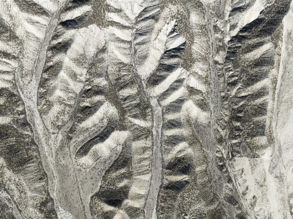
Canyon in the Tsondab Valley in the Namib Desert. ...
BRK26C65_319
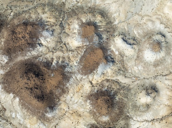
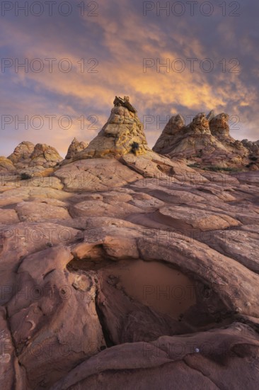
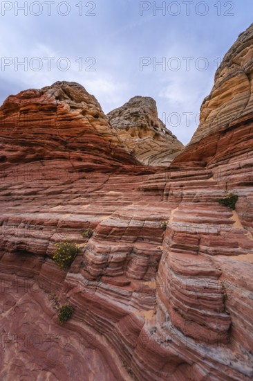
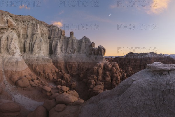
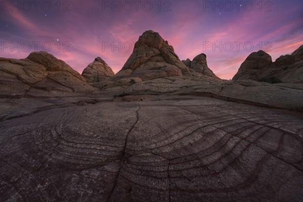
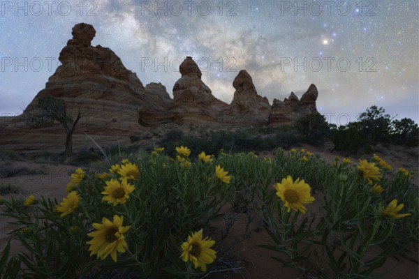
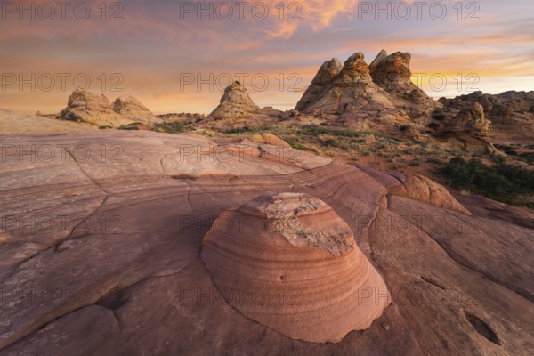
Conical rocks, so-called Prince Albert formations....
BRK26C62_173
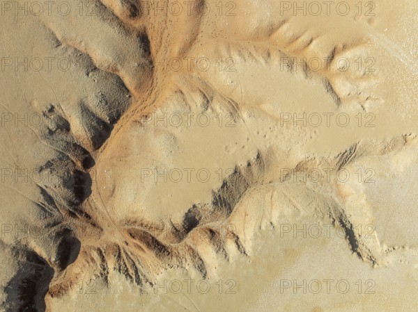
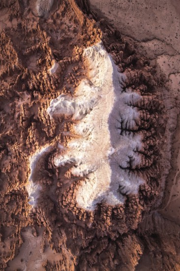
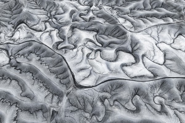
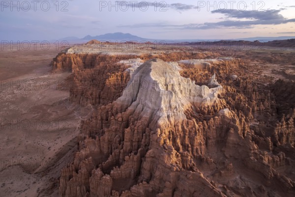
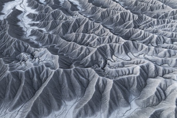
Badlands. Aerial view. Drone shot. Granada provinc...
BRK26C63_348
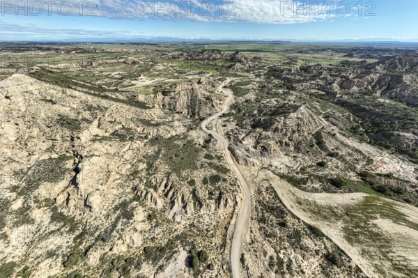
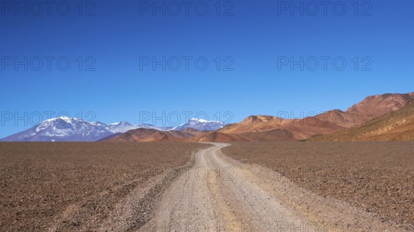
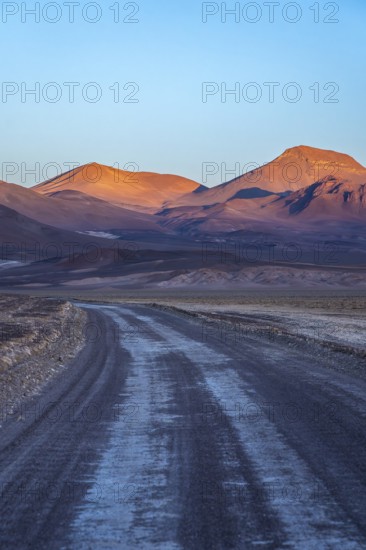
Gravel road Ruta Jubierre, desert, rock formations...
BRK26C68_433
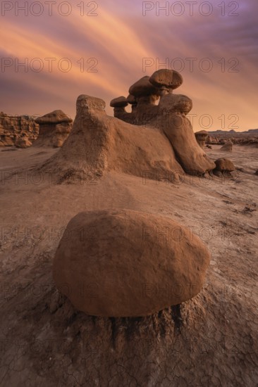
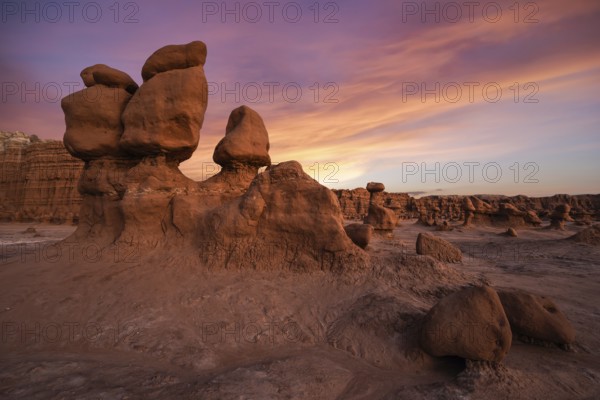
Majestic sandstone formations in Goblin Valley Sta...
BRK26C70_303
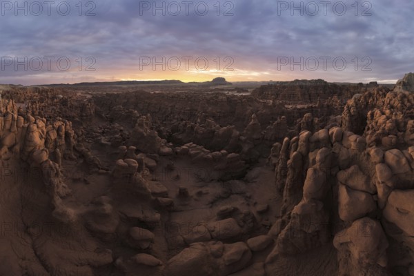
A striking aerial shot of the distinctive geologic...
BRK26C70_338
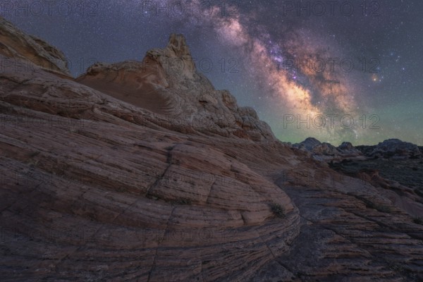
A lone man stands under the majestic Milky Way gal...
BRK26C74_395
A breathtaking view of jagged rock formations unde...
BRK26C90_089
A captivating shot of a winding dirt road stretchi...
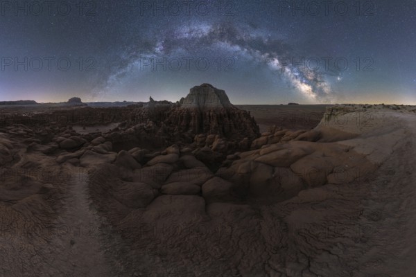
BRK26C91_385
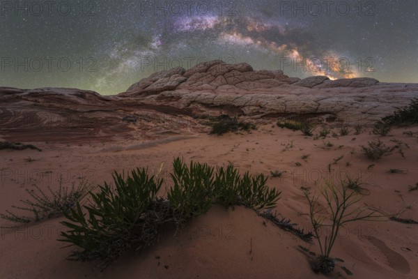
Stunning nightscape of the Milky Way over the uniq...
BRK26C94_072
Captivating view of the Milky Way galaxy shining b...
BRK26D03_341
A breathtaking view of Utah's desert landscape und...
BRK26C77_023
Stunning aerial capture of the unique geological f...
BRK26C77_476
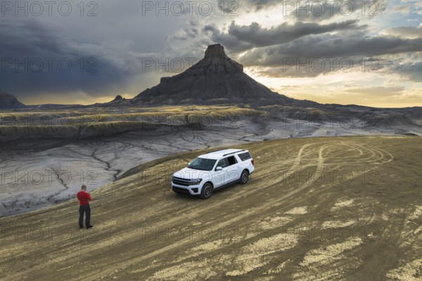
Aerial view of a vehicle in a empty desert road wi...
BRK26C81_486
A breathtaking view of a starlit sky over unique r...
BRK26C92_289
Captivating image of rugged desert rock formations...
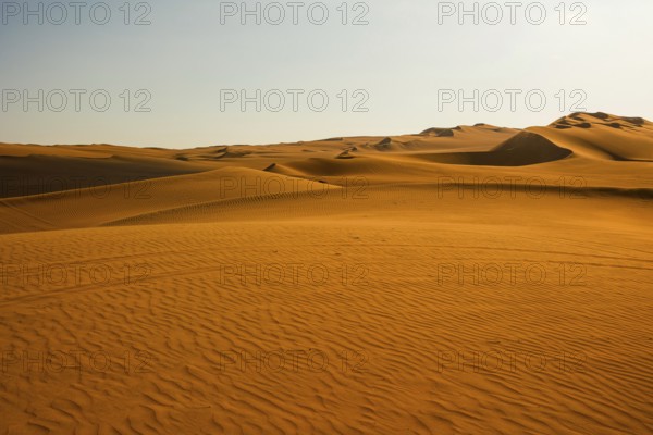
BRK26C99_001
Sweeping views of Ica's vast sand dunes stretch un...
BRK26C68_349
Stunning sandstone formations at Goblin Valley Sta...
BRK26C69_498
Vibrant yellow grass blanket the foreground of thi...
BRK26C70_419
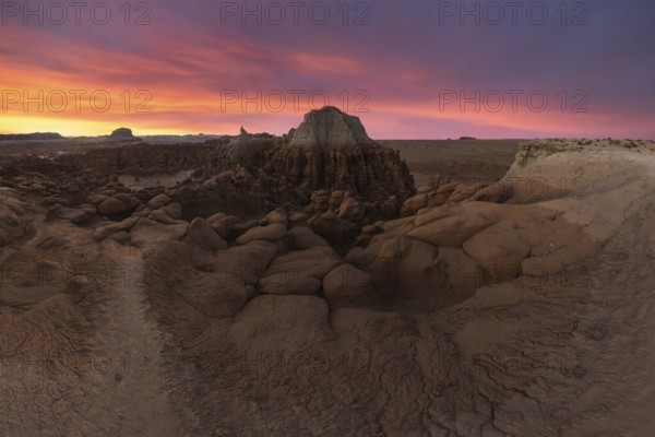
Striking red rock formations and swirling sandston...
BRK26C70_444
A stunning view of unique sandstone formations und...
BRK26C74_364
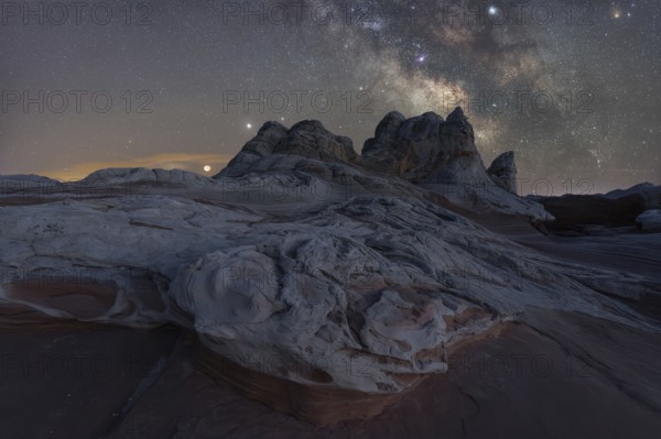
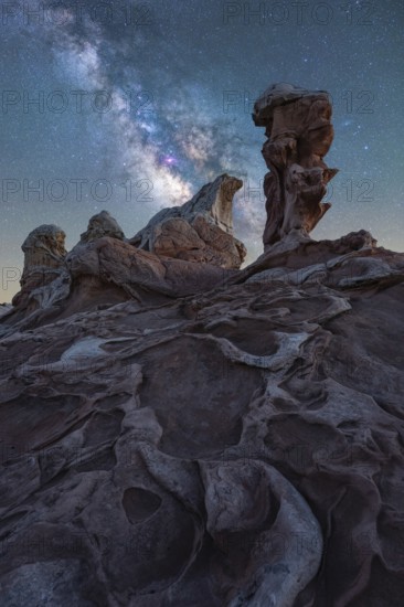
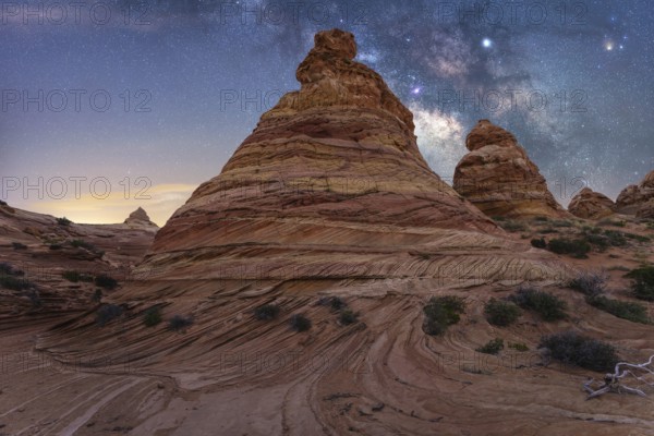
Stunning nightscape of White Pocket in Arizona sho...
BRK26C75_331
A breathtaking panorama of the Milky Way arcing ov...
BRK26C80_209
The image captures the warm golden hues and tranqu...
BRK26C82_356
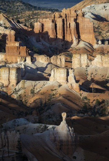
Majestic hoodoos rise dramatically within Bryce Ca...

BRK26C88_049
A delicate cabbage butterfly with tattered wings r...
BRK26C92_345
A woman with a backpack stands on a rocky path in ...
BRK26C99_298
Star-studded skies illuminate the unique rock form...
BRK26D04_163
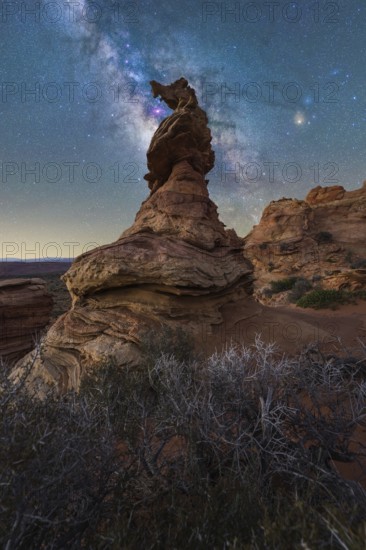
A breathtaking view of a rock formation beneath th...
BRK26C71_307
Dramatic sunset illuminates the unique rock format...
BRK26C77_384
A panoramic aerial photograph capturing the unique...
BRK26C78_253
Discover the enchanting Goblin Valley State Park i...
BRK26C79_462
A tranquil landscape showcasing the serene beauty ...
BRK26C80_007
Explore the breathtaking rock formations of Canyon...
BRK26C81_457
A captivating desert landscape at Coyote Buttes in...
BRK26C82_341
Aerial photograph capturing the breathtaking lands...
BRK26C83_193
Stunning aerial photograph captures the intricate,...
BRK26C84_274
A mesmerizing view of swirling star trails in the ...
BRK26C88_048
The Grand Canyon's rugged terrain is bathed in war...
BRK26C88_124
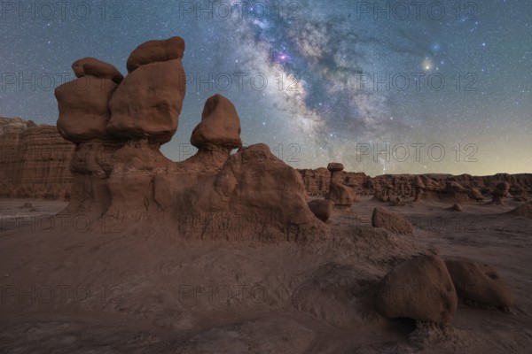
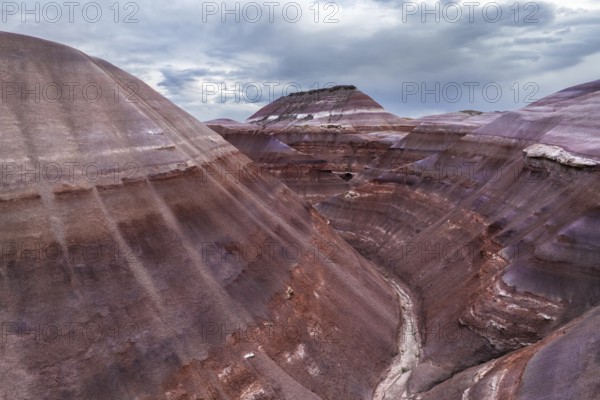
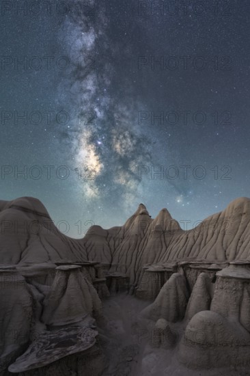
A breathtaking landscape view of the Bisti/De-Na-Z...
BRK26C92_171
A lone man stands under the Milky Way, gazing at t...
BRK26C93_028
This stunning aerial image captures the intricate,...
BRK26C95_290
A stunning drone photograph capturing the layered ...
BRK26C95_347
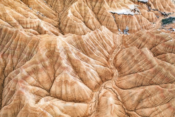
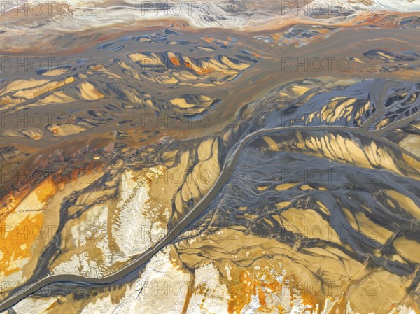
Aerial shot captures a striking desert landscape w...
BRK26C96_146
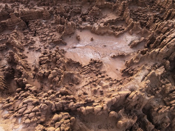
Aerial view showcasing the unique textures of a go...
BRK26C99_336
Captivating aerial shot of the vibrant and texture...
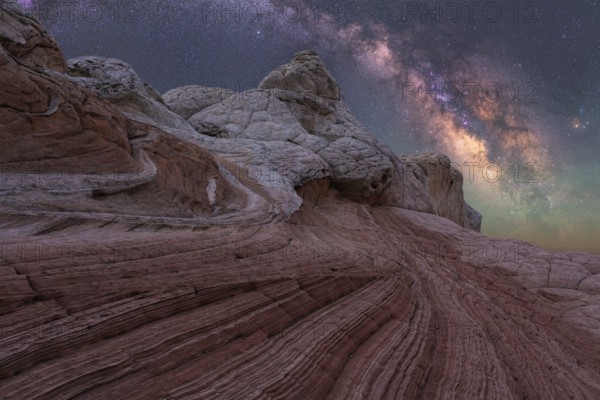
BRK26C69_132
A captivating night view of unique rock formations...
BRK26C69_407
A breathtaking view of the Milky Way illuminating ...
BRK26C78_030
From above, this aerial shot captures the stunning...

BRK26C85_235
Aerial view capturing the mystical landscape of Go...
BRK26C86_202
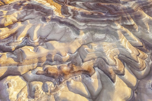
Striking view of the intricate, colorful rock laye...
BRK26C87_131
Captivating nightscape of the Milky Way illuminati...
BRK26C90_098
Stunning aerial shot capturing the intricate, text...
BRK26C92_082
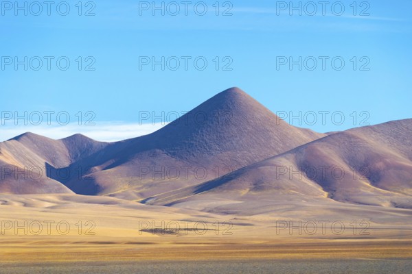
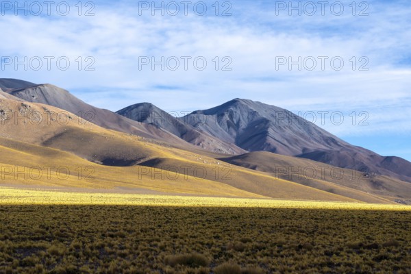
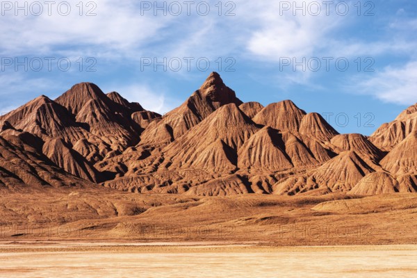
Panoramic image of the La Puna region in the Argen...
BRK26C69_228
Stunning view of the Milky Way illuminating a rock...
BRK26C75_345
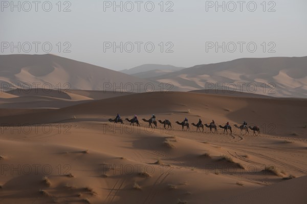
A caravan of camels journeys across expansive Merz...
BRK26C80_207
Aerial capture of Utah's stunning golden bentonite...
BRK26C80_468
Striking landscape showcasing the vibrant, swirlin...
BRK26C86_150
A stunning capture of the unique textures and patt...
BRK26C86_497
Vibrant sunset illuminates the swirling sandstone ...
BRK26C90_480
Striking red sandstone formations with intricate p...
BRK26D00_302
From above, the Cono de Arita in Salta, Argentina ...
BRK26C68_374
Stunning night scape of Utah sandstone desert unde...
BRK26C70_162
An awe inspiring view of the Milky Way galaxy illu...
BRK26C70_371
Experience the breathtaking Milky Way shining over...
BRK26C76_032
Striking view of the swirling red and beige rock f...
BRK26C84_286
Scenic view of unique sandstone formations at Gobl...
BRK26C95_172
A serene evening view of a winding road meandering...

BRK26C97_008
Aerial view of a vast desert landscape featuring a...
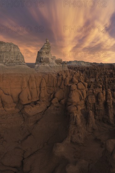
BRK26C68_380
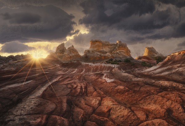
A dramatic sunset casts golden light over a rugged...
BRK26C69_177
A breathtaking view of the Milky Way galaxy illumi...
BRK26C71_408
A breathtaking landscape of towering rock formatio...
BRK26C74_436
Captivating aerial shot of Goblin Valley State Par...
BRK26C86_085
Scenic view of striking rock formations with swirl...
BRK26C93_180
A captivating aerial shot of the textured, rocky f...
BRK26D05_081
Stunning aerial shot capturing the unique patterns...
BRK26C68_337
Stunning aerial photograph capturing Goblin Valley...
BRK26C69_167
Dramatic sunset casts vibrant colors over the uniq...
BRK26C74_228
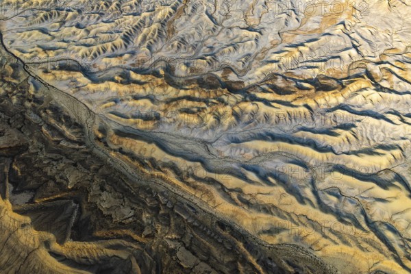
Captivating aerial view showcasing the intricate a...
BRK26C75_459
Majestic view of Coyote Buttes in the Paria Canyon...
BRK26C87_007
A breathtaking night sky filled with the Milky Way...
BRK26D01_483
This image showcases the unforgiving terrain of De...
BRK26D02_343
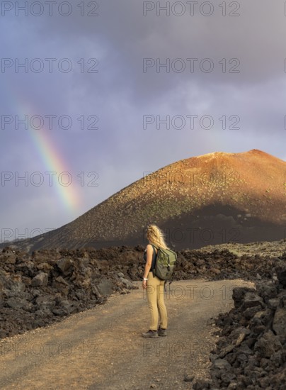
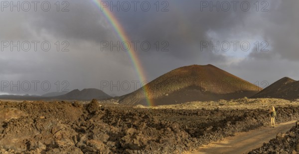
A vibrant rainbow arcs over the rugged volcanic te...
BRK26C68_421
A majestic sunset casts warm colors over the uniqu...
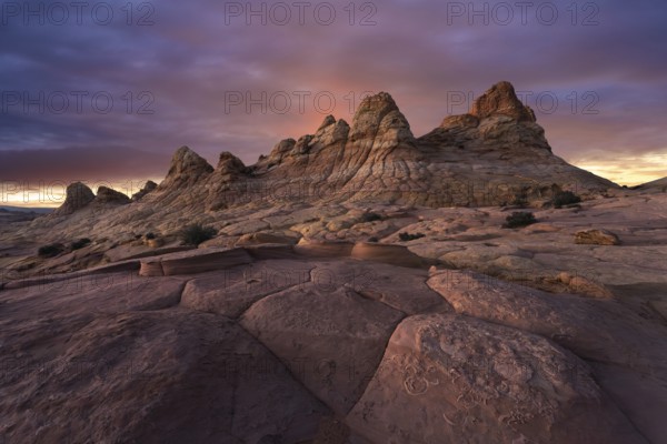
BRK26C70_227
Dramatic sandstone formations under a vibrant suns...
BRK26C70_318
Captivating aerial shot capturing the intricate an...
BRK26C71_077
From above back view of unrecognizable man standin...
BRK26C72_443
Stunning nightscape of White Pocket in Arizona, US...
BRK26C74_413
A panoramic view of dramatically eroded sandstone ...
BRK26C80_117
Rich orange and ochre hills of the Devil's Desert ...
BRK26C86_500
Dramatic sandstone formations with sweeping curves...
BRK26C68_411
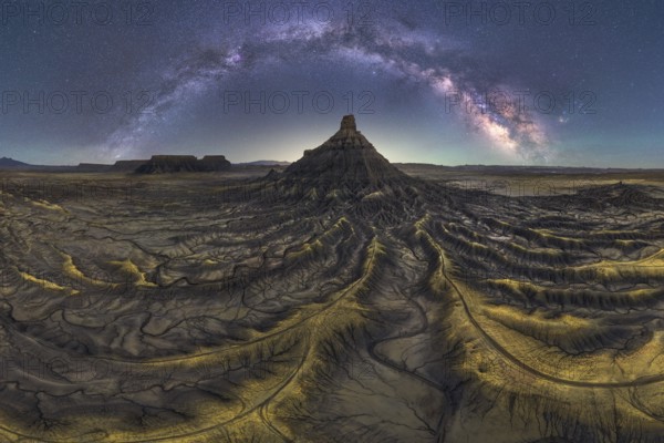
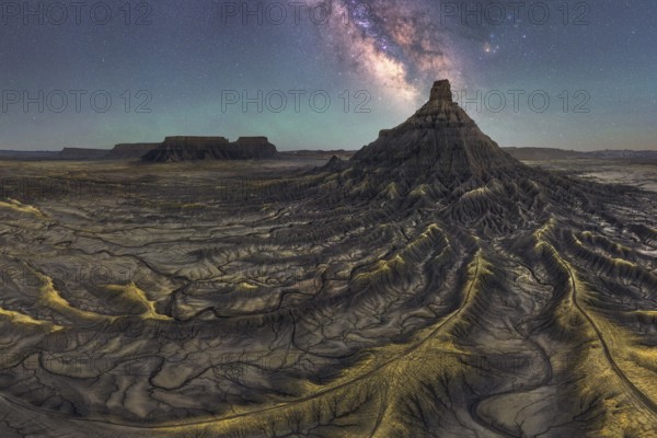
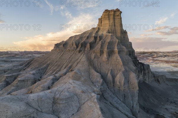
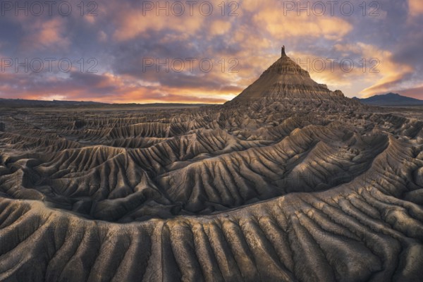
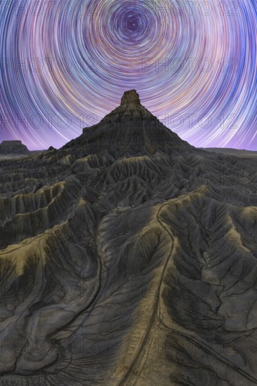
Stunning landscape of Factory Butte in Utah bathed...
BRK26C70_389
Stunning aerial shot of the unique, colorful strat...
BRK26C72_110
Dramatic sandstone formations under a vibrant suns...
BRK26C75_499
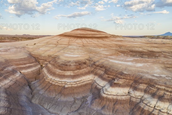
Aerial view of golden bentonite formations in Utah...
BRK26C95_500
From above, this breathtaking aerial drone image c...
BRK26C99_419
Starry night sky over Coyote Buttes in the Paria C...
BRK26D01_089
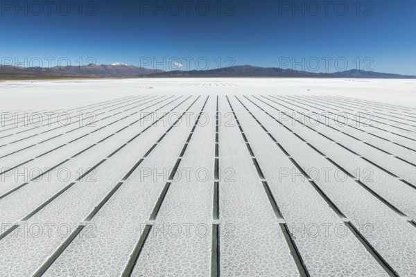
Aerial view of the geometric grid pattern created ...
BRK26C69_147
Golden sunset lighting the unique rock formations ...
BRK26C70_430
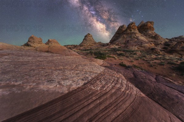
Stunning night view of the Milky way over Utah san...
- Page
-
- of
- 9