Period

5095 results for: Panoramic aerial view

  • Page
  • of
  • 51
Please sign in for more results
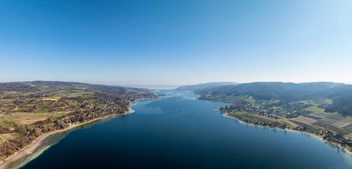
Aerial view, panorama of Lake Constance, Untersee, also known as Lake Rhine, which flows into the
BRK26J71_241

Aerial view, panorama of Lake Constance, Untersee,...
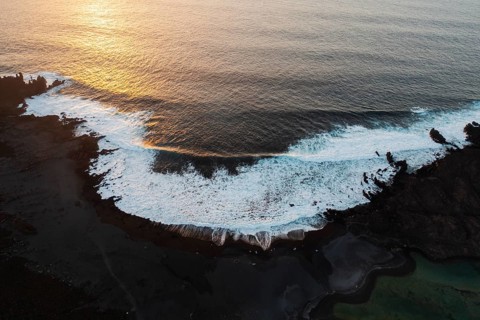
Aerial photograph capturing the dramatic landscape of Los Hervideros with its volcanic terrain and
BRK26J86_282

Aerial photograph capturing the dramatic landscape...
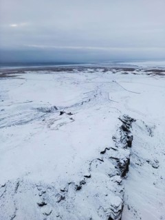
Aerial view of Iceland's serene winter landscape, showcasing vast expanses of snow-covered terrain
BRK26J99_253

Aerial view of Iceland's serene winter landscape, ...
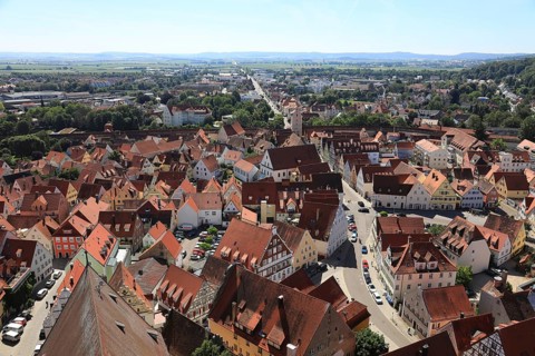
Old town, city view from above, from Daniel church tower, Nördlingen, Nördlingen, Donau-Ries
BRK26J74_048

Old town, city view from above, from Daniel church...
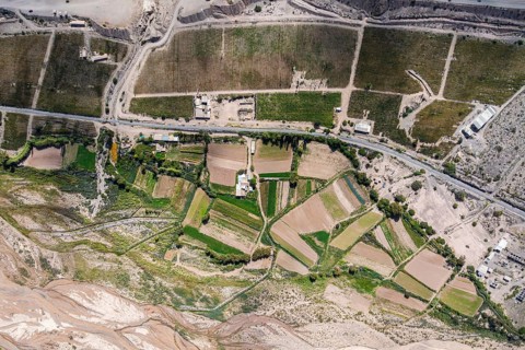
Aerial view capturing lush, geometrically patterned farmland in Purmamarca, Jujuy, Argentina,
BRK26J94_466

Aerial view capturing lush, geometrically patterne...
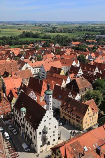
Old town, city view from above, from Daniel church tower, Town Hall, Nördlingen, Nördlingen,
BRK26J72_234

Old town, city view from above, from Daniel church...
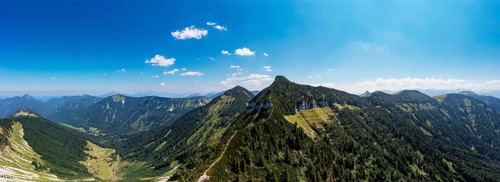
Drone shot, panorama shot, mountain landscape, summit massif of the Regenspitz with Gruberalm,
BRK26J97_038

Drone shot, panorama shot, mountain landscape, sum...
Default
BRK26J80_158

Default

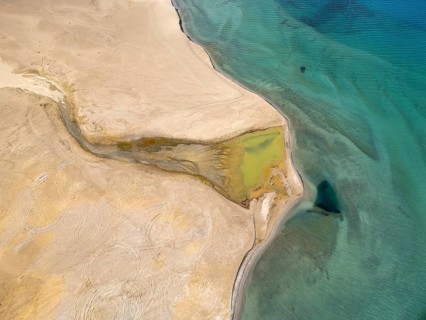
Aerial view of the mesmerizing Pangong Tso Lake in Ladakh, India, showcasing the vibrant turquoise
BRK26J86_189

Aerial view of the mesmerizing Pangong Tso Lake in...
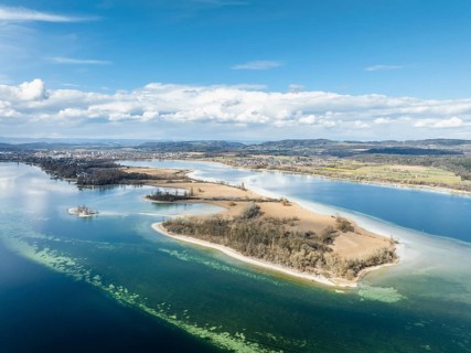
Aerial view, panorama of the Mettnau peninsula in western Lake Constance, Radolfzell, district of
BRK26J91_027

Aerial view, panorama of the Mettnau peninsula in ...
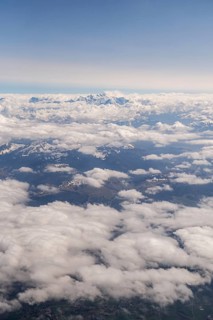
A breathtaking aerial photograph showcasing the vast expanse of the Alps, towering above dense
BRK26J73_364

A breathtaking aerial photograph showcasing the va...
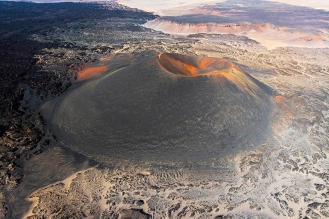
A breathtaking aerial view of the Antofagasta Volcano, located in Catamarca, Argentina. Showcasing
BRK26J65_193

A breathtaking aerial view of the Antofagasta Volc...
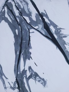
Aerial view captures the vast, snow-covered Icelandic landscape, with rugged textures and serene
BRK26J84_039

Aerial view captures the vast, snow-covered Icelan...
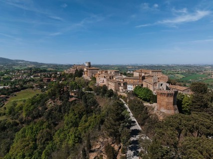
Aerial view of Treia, Italy, showcasing its historic architecture surrounded by lush greenery. The
BRK26J75_494

Aerial view of Treia, Italy, showcasing its histor...
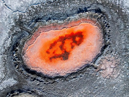
Top view, an orange salt pond starkly contrasts with the surrounding grey textures in Salar de
BRK26J72_215

Top view, an orange salt pond starkly contrasts wi...
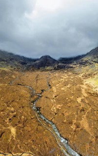
Panorama of Fairy Pools and Waterfalls from a drone, Glen Brittle, Black Cuillin, Isle of Skye,
BRK26J92_207

Panorama of Fairy Pools and Waterfalls from a dron...
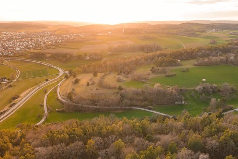
Aerial view of fields and a village in the light of sunset, surrounded by hills and trees, e-bike
BRK26J80_166

Aerial view of fields and a village in the light o...
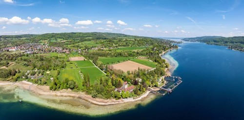
Aerial view, panorama of Oberstaad Castle, also Jacques Schiesser House on the southernmost part of
BRK26J88_082

Aerial view, panorama of Oberstaad Castle, also Ja...
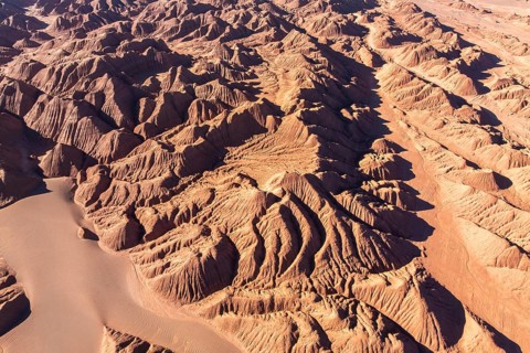
Aerial view of the rugged, reddish terrain of Devil's Desert in Salta, Argentina, showcasing
BRK26J81_097

Aerial view of the rugged, reddish terrain of Devi...
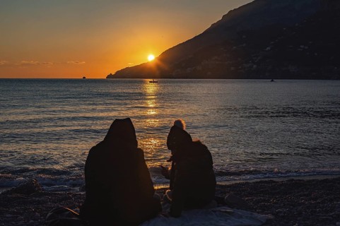
View of Amalfi town during sunset on Amalfi Coast in Campania, Italy. Campania, Italy
BRK26J69_349

View of Amalfi town during sunset on Amalfi Coast ...
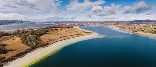
Aerial view, panorama of the Mettnau peninsula near Radolfzell am Lake Constance at low tide, the
BRK26K02_088

Aerial view, panorama of the Mettnau peninsula nea...
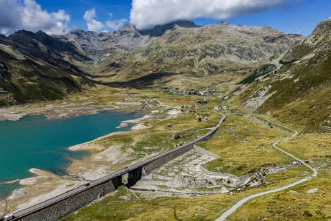
Lago di Montespluga. 1, 876 meter high reservoir in the Lombardy region of Italy on the Splügen
BRK26J52_459

Lago di Montespluga. 1, 876 meter high reservoir i...
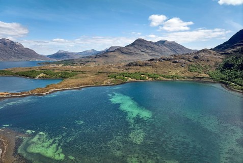
Panoramic aerial photo of the highland landscape at Loch Shieldaig, western Scotland, UK
BRK26J58_061

Panoramic aerial photo of the highland landscape a...
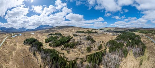
Aerial panorama photo of a Higland landscape with partly dead fir forest on the Isle of Skye, inner
BRK26J67_265

Aerial panorama photo of a Higland landscape with ...
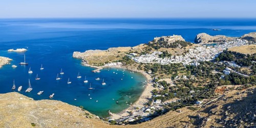
Rhodes island with acropolis of Lindos town vacation aerial view from above panorama of the
BRK26J73_216

Rhodes island with acropolis of Lindos town vacati...
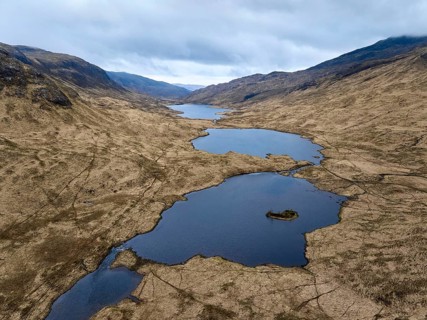
Panoramic aerial drone photo of Loch Peallach in the highlandof Isle of Mull, Inner Hybrides,
BRK26J58_021

Panoramic aerial drone photo of Loch Peallach in t...
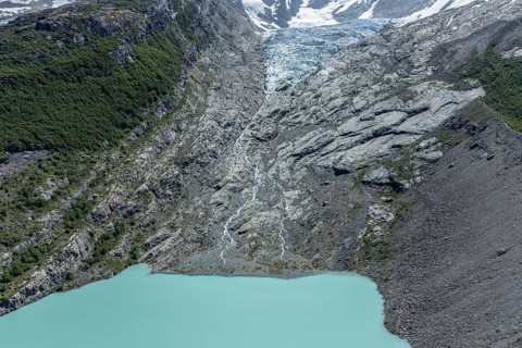
Huemul glacier (glaciar Huemul) and Huemul glacial lake (laguna Huemul), Lago el desierto,
BRK26J86_093

Huemul glacier (glaciar Huemul) and Huemul glacial...
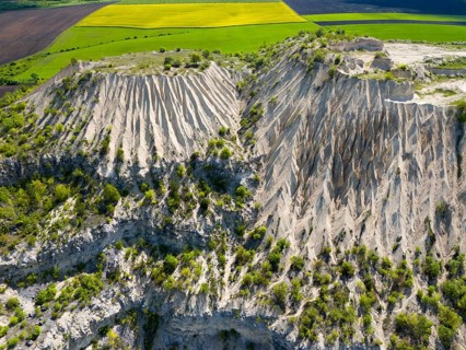
Erosion-prone rock walls next to green and yellow fields under wide blue sky, aerial view, former
BRK26J84_249

Erosion-prone rock walls next to green and yellow ...
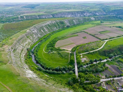
Extensive landscape with river, fields and hills in lush green from a bird's eye view, aerial view
BRK26J91_313

Extensive landscape with river, fields and hills i...
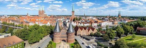
Holstentor Holsten Tor aerial view panorama in the Hanseatic city of Lübeck, Germany
BRK26J84_411

Holstentor Holsten Tor aerial view panorama in the...
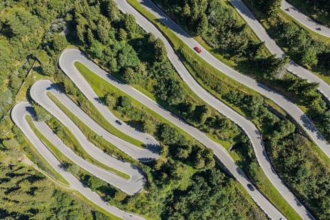
North side of the Splügen. The Splügen Pass lies at an altitude of 2, 114 metres above sea level
BRK26J55_388

North side of the Splügen. The Splügen Pass lies a...
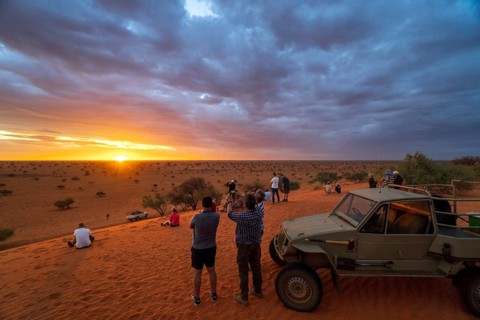
Cloud sky, sundowner, people, off-road vehicle, photography, dune, desert, Kalahari, savanna,
BRK26J11_002

Cloud sky, sundowner, people, off-road vehicle, ph...
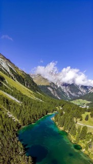
Lake Palpuogna in the Albula Alps at 1918 m above Preda in the Swiss canton of Grisons. In 2007,
BRK26J08_256

Lake Palpuogna in the Albula Alps at 1918 m above ...
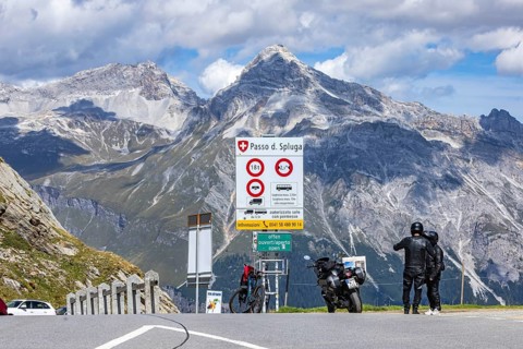
Pass height. The Splügen Pass lies at 2, 114 metres above sea level and connects Splügen in
BRK26J03_276

Pass height. The Splügen Pass lies at 2, 114 metre...
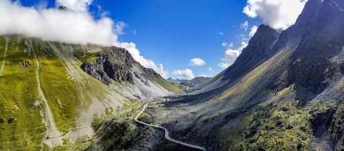
Albula Pass, a 2312 m above sea level mountain crossing in the Albula Alps in the Swiss canton of
BRK26J06_090

Albula Pass, a 2312 m above sea level mountain cro...
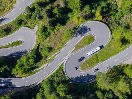
The Maloja Pass is a Swiss alpine pass located 1812 meters above sea level, which connects Bergell
BRK26J10_010

The Maloja Pass is a Swiss alpine pass located 181...
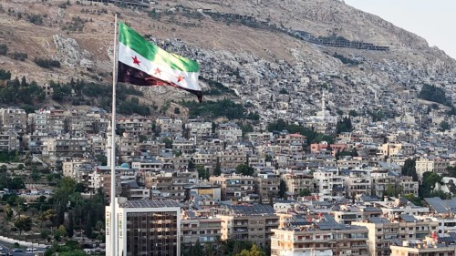
Damascus, Syria - August 14, 2026: A scenic drone view shows Umayyad Square in Damascus bathed in
BRK26J31_267

Damascus, Syria - August 14, 2026: A scenic drone ...
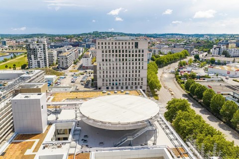
Panoramic view of an urban area with modern buildings and a large parking lot, new hospital
BRK26J27_224

Panoramic view of an urban area with modern buildi...
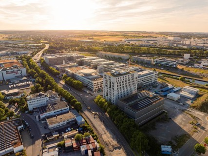
Aerial view of an extensive urban area with buildings and roads in the light of sunset,
BRK26J04_483

Aerial view of an extensive urban area with buildi...
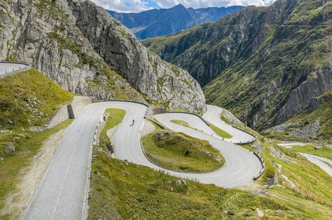
La Tremola, world-famous serpentine road through Val Tremolo. The Tremolastrasse is the longest
BRK26J15_383

La Tremola, world-famous serpentine road through V...
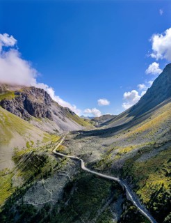
Albula Pass, a 2312 m above sea level mountain crossing in the Albula Alps in the Swiss canton of
BRK26J05_177

Albula Pass, a 2312 m above sea level mountain cro...
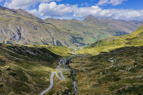
San Bernardino Pass. Mountain pass in Switzerland. San Bernardino, Mesocco, Canton of Graubünden,
BRK26J05_138

San Bernardino Pass. Mountain pass in Switzerland....
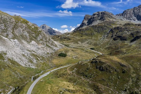
The Julier Pass is an alpine pass in the canton of Graubünden in Switzerland. With a peak height of
BRK26J04_272

The Julier Pass is an alpine pass in the canton of...
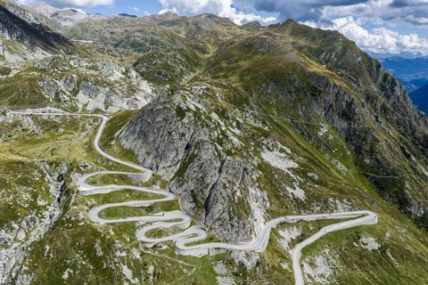
La Tremola, world-famous serpentine road through Val Tremolo. The Tremolastrasse is the longest
BRK26J06_121

La Tremola, world-famous serpentine road through V...
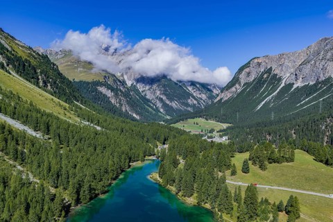
Lake Palpuogna in the Albula Alps at 1918 m above Preda in the Swiss canton of Grisons. In 2007,
BRK26J03_175

Lake Palpuogna in the Albula Alps at 1918 m above ...
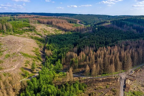
Forest dieback in the Arnsberg Forest nature park Park, healthy deciduous trees among the dead
BRK26J28_153

Forest dieback in the Arnsberg Forest nature park ...
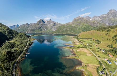
Panoramic aerial view of the bay at Raften at the Raftsund, the waterway between Lofoten and
BRK26J23_332

Panoramic aerial view of the bay at Raften at the ...
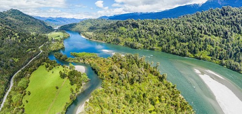
Aerial view of river Rio Palena between La Junta and Puerto Raul Marin Balmaceda, Panorama,
BRK26J26_156

Aerial view of river Rio Palena between La Junta a...
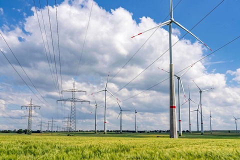
Wind farm north-east of Marsberg, Hochsauerlandkreis, high-voltage line, electricity pylons, North
BRK26J26_325

Wind farm north-east of Marsberg, Hochsauerlandkre...

Bee-eater, (Merops apiaster), flight photo, Tiszaalp-r, Kiskuns-gi National Park, B-cs-Kiskun,
BRK26J42_092

Bee-eater, (Merops apiaster), flight photo, Tiszaa...
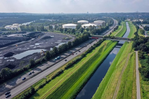
Bottrop, North Rhine-Westphalia, Germany - The Emscher has been completely free of wastewater since
BRK26J20_428

Bottrop, North Rhine-Westphalia, Germany - The Ems...
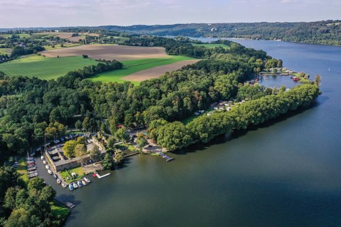
Essen, Ruhr area, North Rhine-Westphalia, Germany - Lake Baldeney, Haus Scheppen in front. Haus
BRK26J48_493

Essen, Ruhr area, North Rhine-Westphalia, Germany ...
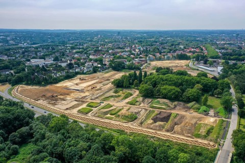
Bochum, North Rhine-Westphalia, Germany - OSTPARK project - New housing. QUARTIER FELDMARK
BRK26J35_002

Bochum, North Rhine-Westphalia, Germany - OSTPARK ...
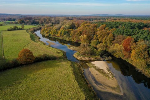
10.11.2021, Datteln, North Rhine-Westphalia, Germany - Lippe, river and floodplain development of
BRK26J31_163

10.11.2021, Datteln, North Rhine-Westphalia, Germa...
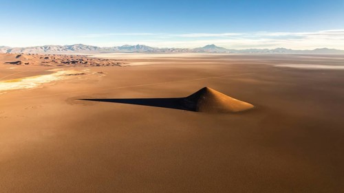
From above, a drone captures the isolated Cono de Arita, an intriguing natural cone shaped
BRK26J50_095

From above, a drone captures the isolated Cono de ...
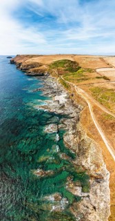
Panorama of Pentire Point and Bay over Padstow Bay from a drone, Polzeath, Cornwall, England,
BRK26J20_157

Panorama of Pentire Point and Bay over Padstow Bay...
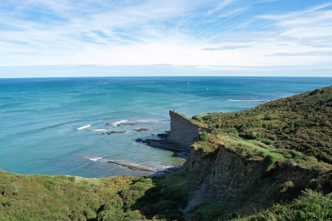
A panoramic view of a vibrant seascape, featuring lush green cliffs and a serene blue ocean under a
BRK26J30_417

A panoramic view of a vibrant seascape, featuring ...
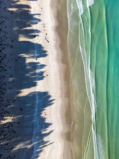
Aerial view of a peaceful beach where clear waves meet the sandy shore in Victoria, Australia.
BRK26J23_433

Aerial view of a peaceful beach where clear waves ...

Aerial view of a gracefully curved bridge over the serene, turquoise waters of Castreccioni Lake,
BRK26J41_150

Aerial view of a gracefully curved bridge over the...
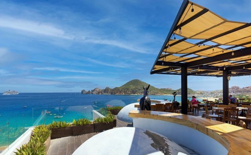
Cabo San Lucas, Los Cabos, Mexico, September 10, 2021: Mexico, Scenic panoramic aerial view of Los
BRK26J50_469

Cabo San Lucas, Los Cabos, Mexico, September 10, 2...
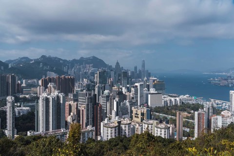
Aerial view of Hong Kong's dense urban skyline set against a backdrop of lush green mountains and
BRK26J34_314

Aerial view of Hong Kong's dense urban skyline set...
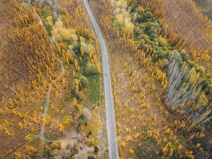
Default
BRK26J31_106

Default

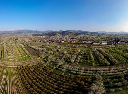
Village view with blossoming cherry trees, aerial view, panorama, Mösbach, Black Forest, Ortenau
BRK26J52_226

Village view with blossoming cherry trees, aerial ...
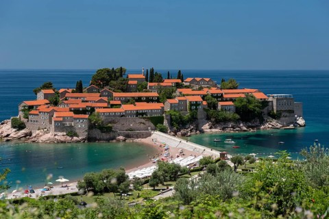
Sveti Stefan island during beautiful summer day, Montenegro.
BRK26J17_034

Sveti Stefan island during beautiful summer day, M...
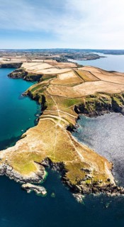
Panorama of Seven Souls Rock and Pentire Point and Bay over Padstow Bay from a drone, Polzeath,
BRK26J30_374

Panorama of Seven Souls Rock and Pentire Point and...
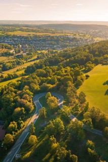
Aerial view of a landscape with city, fields and forests at sunset, Aidlingen, Heckengäu region,
BRK26J03_392

Aerial view of a landscape with city, fields and f...
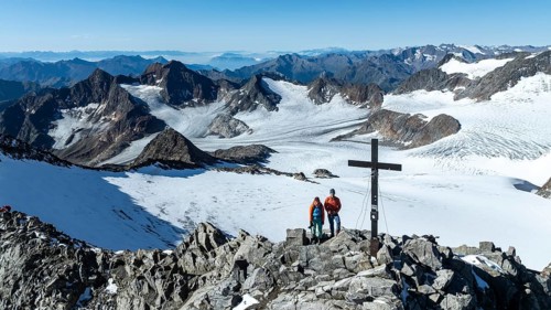
Panorama at the summit of the Wilder Freiger with summit cross and with glacier Übeltalferner and
BRK26J39_196

Panorama at the summit of the Wilder Freiger with ...
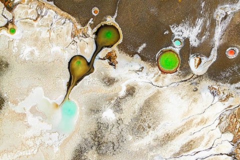
Top view, this drone-captured image shows the vivid multicolored salt ponds of Salar de Antofalla
BRK26J39_210

Top view, this drone-captured image shows the vivi...
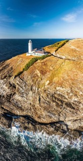
Panorama of Cliffs and Trevose Head Lighthouse from a drone, Padstow, Cornwall, England, United
BRK26J32_295

Panorama of Cliffs and Trevose Head Lighthouse fro...
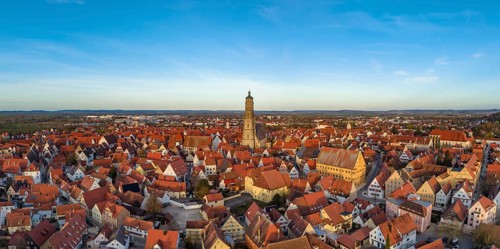
Aerial view, panorama of the historic old town of Nördlingen with the church of St. Georg and the
BRK26J41_018

Aerial view, panorama of the historic old town of ...
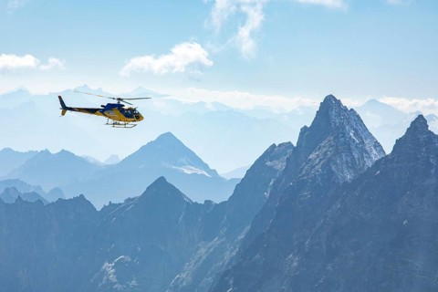
A helicopter soars through the clear blue sky over Zermatt, framed by the majestic peaks of the
BRK26J42_236

A helicopter soars through the clear blue sky over...
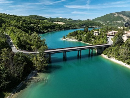
Aerial view of a bridge spanning the vibrant turquoise waters of Lago di Fiastra, surrounded by
BRK26J44_131

Aerial view of a bridge spanning the vibrant turqu...
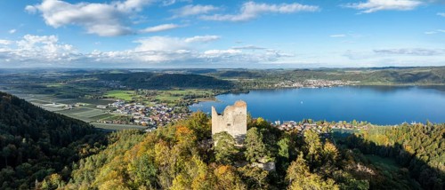
Aerial view, panorama of Lake Constance, Überlinger See, with the ruin Altbodman on the Bodanrück
BRK26J45_194

Aerial view, panorama of Lake Constance, Überlinge...
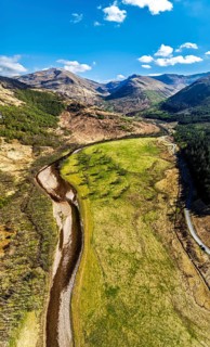
Panorama of Glen Nevis Valley and River Navis from a drone, Fort William, Lochaber, Highland,
BRK26J19_202

Panorama of Glen Nevis Valley and River Navis from...
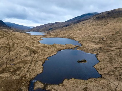
Panoramic aerial drone photo of Loch Peallach in the highlandof Isle of Mull, Inner Hybrides,
BRK26J12_293

Panoramic aerial drone photo of Loch Peallach in t...
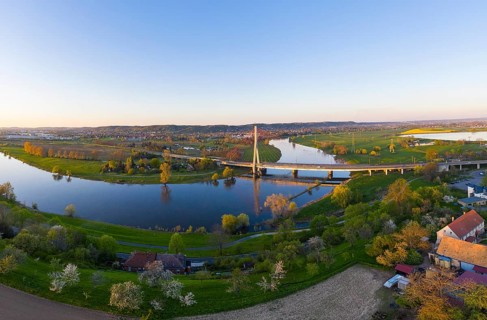
Elbe bridge between Radebeul- Naundorf and Dresden- Niederwartha in the Elbe valley, in the
BRK26J49_112

Elbe bridge between Radebeul- Naundorf and Dresden...
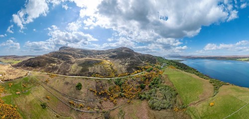
Aerial panorama photo of bay with golden sand beach and turquoise water at the scottish atlantic
BRK26J03_407

Aerial panorama photo of bay with golden sand beac...
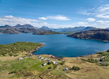
Panoramic aerial photo of the highland landscape at Loch Shieldaig, western Scotland, UK
BRK26J04_432

Panoramic aerial photo of the highland landscape a...
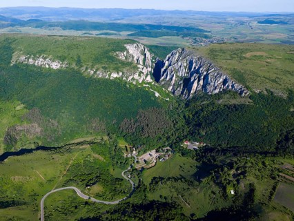
Aerial view of extensive landscape with village, winding path and distinctive limestone cliffs in
BRK26J46_265

Aerial view of extensive landscape with village, w...
Fichtelberg highest mountain in the Ore Mountains in winter aerial view panorama in Oberwiesenthal,
BRK26J45_231

Fichtelberg highest mountain in the Ore Mountains ...
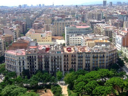
City panorama with densely built residential buildings and clear skies, Barcelona, Catalonia, Spain
BRK26J50_439

City panorama with densely built residential build...
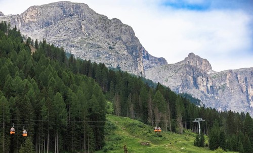
Cable cars traverse through tall trees with rugged mountains in the background. Corvara, Dolomites,
BRK26J40_275

Cable cars traverse through tall trees with rugged...
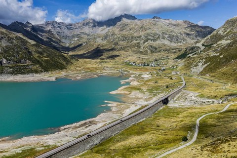
Lago di Montespluga. 1, 876 meter high reservoir in the Lombardy region of Italy on the Splügen
BRK26J03_061

Lago di Montespluga. 1, 876 meter high reservoir i...
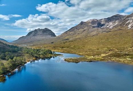
Panoramic aerial photo of Beinn Eighe National park and Loch clair in the in the scottish
BRK26J05_047

Panoramic aerial photo of Beinn Eighe National par...
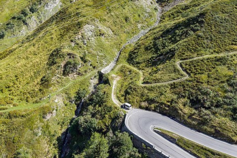
North side of the Splügen. The Splügen Pass lies at an altitude of 2, 114 metres above sea level
BRK26J10_212

North side of the Splügen. The Splügen Pass lies a...
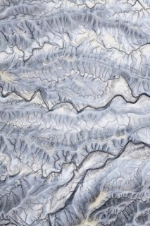
Captivating aerial shot of the intricate, textured landscape of Moonscape Overlook in Utah,
BRK26J44_251

Captivating aerial shot of the intricate, textured...
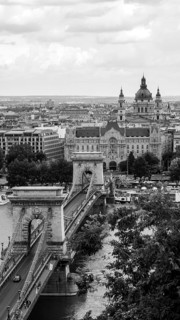
This black and white image captures the panoramic view of Budapest, Hungary, including the iconic
BRK26J31_461

This black and white image captures the panoramic ...
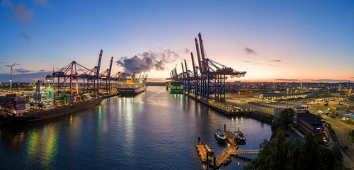
Panoramic aerial view at Waltershof harbour during the Blue Hour with Eurogate Container Terminal
BRK26I62_009

Panoramic aerial view at Waltershof harbour during...
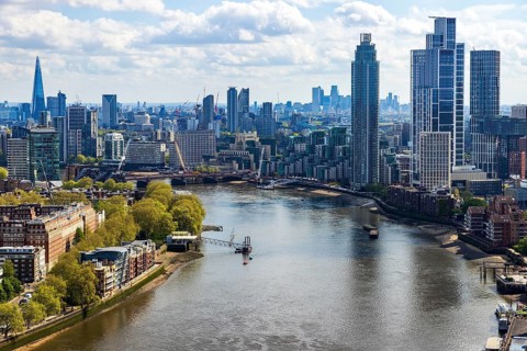
The River Thames bends past Vauxhall's riverside towers in this aerial view from Battersea Power
BRK26I76_212

The River Thames bends past Vauxhall's riverside t...
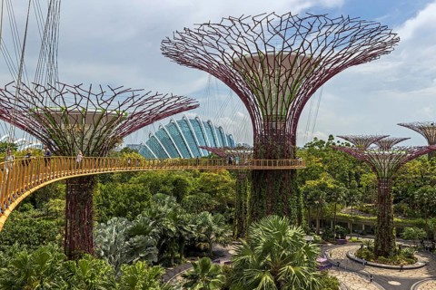
OCBC Skyway and Skywalk Experience at Supertree Observatory with an elevated walkway connecting
BRK26I66_418

OCBC Skyway and Skywalk Experience at Supertree Ob...
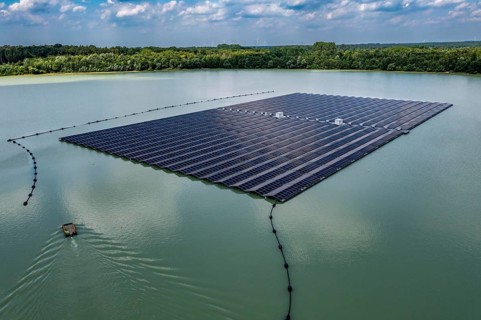
Germany's largest floating solar power plant on the Silbersee III, a quarry pond no longer used for
BRK26I89_292

Germany's largest floating solar power plant on th...
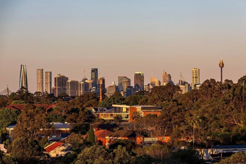
View of the Sydney skyline with greenery in the foreground and mix of modern buildings and
BRK26I73_283

View of the Sydney skyline with greenery in the fo...
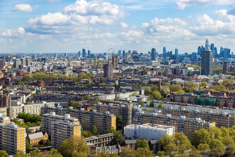
The London skyline stretches from Battersea's terraced streets toward the City, viewed from the
BRK26I81_276

The London skyline stretches from Battersea's terr...
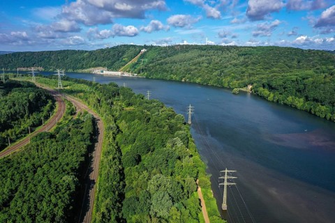
Hagen, Herdecke, North Rhine-Westphalia, Germany - The Hengsteysee is a reservoir completed in 1929
BRK26I77_232

Hagen, Herdecke, North Rhine-Westphalia, Germany -...
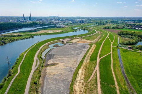
Haltern-Marl, North Rhine-Westphalia, Germany, Lippe, Flood protection in the
BRK26J01_312

Haltern-Marl, North Rhine-Westphalia, Germany, Lip...
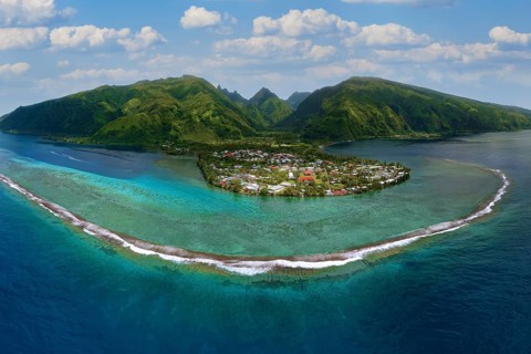
Aerial view, panorama, fringing reef in front, beach village Taurita behind, Tai'arapu-Est
BRK26I85_161

Aerial view, panorama, fringing reef in front, bea...
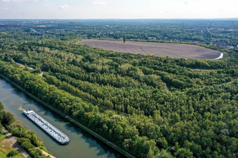
Essen, North Rhine-Westphalia, Germany - Schurenbachhalde canal bank park. The Schurenbachhalde on
BRK26J02_054

Essen, North Rhine-Westphalia, Germany - Schurenba...
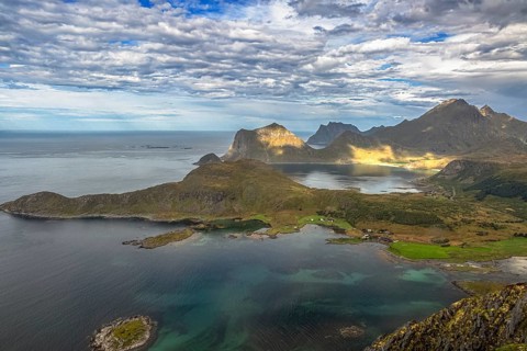
Dramatic aerial view of Lofoten coast with rugged mountains, turquoise sea and green landscape from
BRK26I52_490

Dramatic aerial view of Lofoten coast with rugged ...
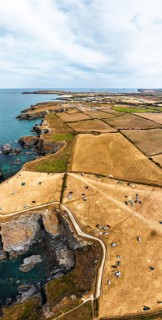
Panorama of Farms and Fields over Cliffs and Porthcothan Bay from a drone, Porthcothan, Padstow,
BRK26I64_262

Panorama of Farms and Fields over Cliffs and Porth...
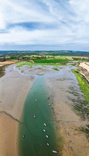
Panorama of Fields and Farms over Bosham Quay from a drone, Chichester Harbour National Landscape,
BRK26I67_314

Panorama of Fields and Farms over Bosham Quay from...

  • Page
  • of
  • 51