Period

205 results for: Hegauberge

  • Page
  • of
  • 3
Please sign in for more results
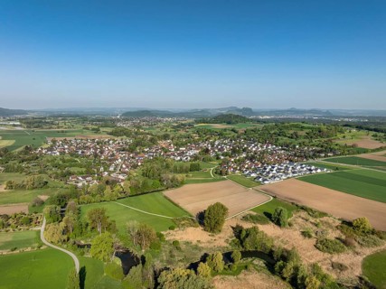
Aerial view of the village of Bohlingen, district of Singen am Hohentwiel, on the horizon the
BRK26J49_402

Aerial view of the village of Bohlingen, district ...
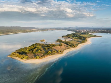
Aerial view of the Mettnau peninsula near Radolfzell on Lake Constance at historic lows, low tide
BRK26J03_117

Aerial view of the Mettnau peninsula near Radolfze...
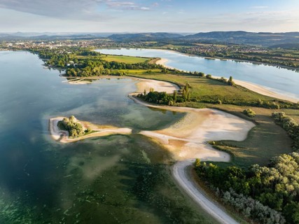
Aerial view of the Mettnau peninsula near Radolfzell on Lake Constance at historic lows, low tide
BRK26I55_416

Aerial view of the Mettnau peninsula near Radolfze...
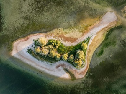
Aerial view, top-down view of Love Island, near the Mettnau peninsula at historic lows, low tide at
BRK26I55_225

Aerial view, top-down view of Love Island, near th...
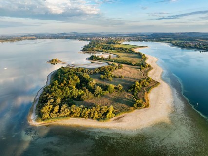
Aerial view of the Mettnau peninsula near Radolfzell on Lake Constance at historic lows, low tide
BRK26I54_062

Aerial view of the Mettnau peninsula near Radolfze...
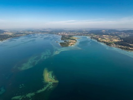
Aerial view of western Lake Constance, Untersee with the Mettnau peninsula, behind it the town of
BRK26I94_462

Aerial view of western Lake Constance, Untersee wi...
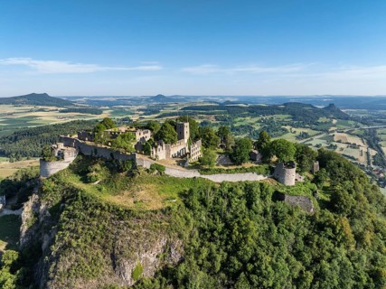
Aerial view of the Hohentwiel volcanic cone with Germany's largest fortress ruin, in the morning
BRK26I94_140

Aerial view of the Hohentwiel volcanic cone with G...
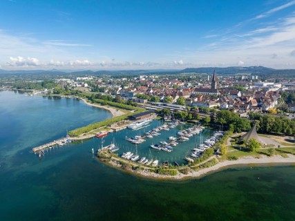
Aerial view of the town of Radolfzell on Lake Constance with the Wäschbruckhafen, harbour pier and
BRK26I03_011

Aerial view of the town of Radolfzell on Lake Cons...
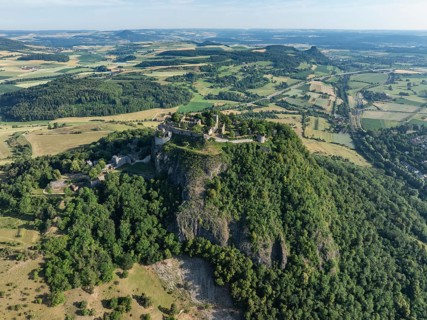
Aerial view of the Hohentwiel volcanic cone with Germany's largest fortress ruin, in the morning
BRK26I45_235

Aerial view of the Hohentwiel volcanic cone with G...
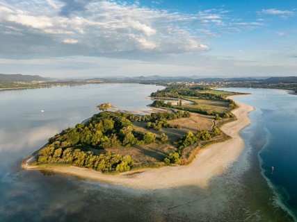
Aerial view of the Mettnau peninsula near Radolfzell on Lake Constance at historic lows, low tide
BRK26I06_089

Aerial view of the Mettnau peninsula near Radolfze...
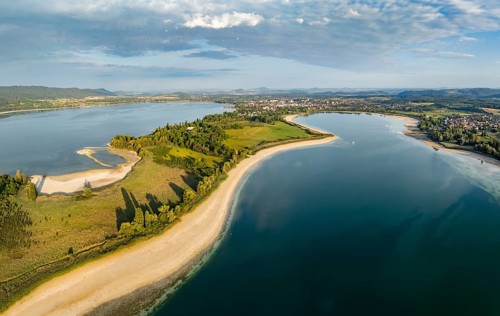
Aerial view, panorama of the Mettnau peninsula near Radolfzell on Lake Constance at historic low
BRK26I05_436

Aerial view, panorama of the Mettnau peninsula nea...
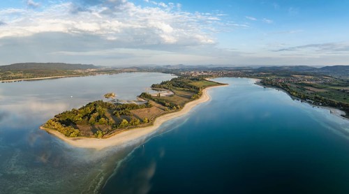
Aerial view, panorama of the Mettnau peninsula near Radolfzell on Lake Constance at historic low
BRK26H62_456

Aerial view, panorama of the Mettnau peninsula nea...
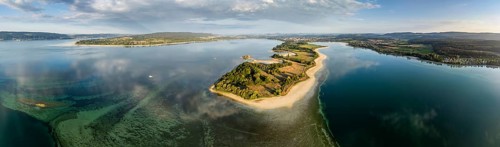
Aerial view, panorama of the Mettnau peninsula near Radolfzell on Lake Constance at historic lows,
BRK26H70_272

Aerial view, panorama of the Mettnau peninsula nea...
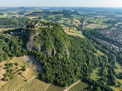
Aerial view of the Hohentwiel volcanic cone with Germany's largest fortress ruin, in the morning
BRK26H80_369

Aerial view of the Hohentwiel volcanic cone with G...
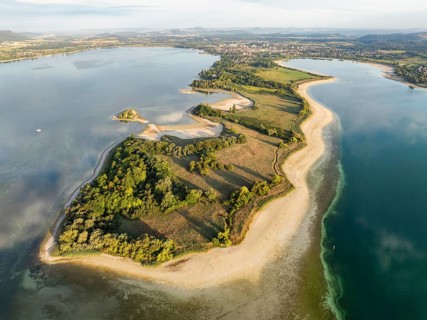
Aerial view of the Mettnau peninsula near Radolfzell on Lake Constance at historic lows, low tide
BRK26H54_489

Aerial view of the Mettnau peninsula near Radolfze...
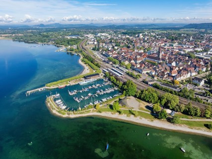
Aerial view of the town of Radolfzell on Lake Constance with the Wäschbruckhafen, harbour pier and
BRK26H52_481

Aerial view of the town of Radolfzell on Lake Cons...
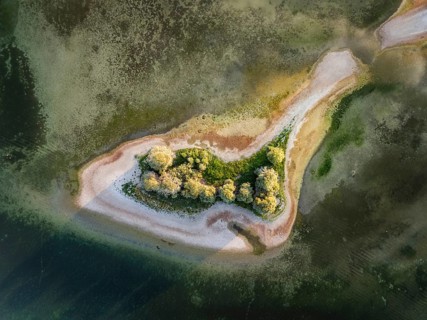
Aerial view, top-down view of Love Island, near the Mettnau peninsula at historic lows, low tide at
BRK26H55_156

Aerial view, top-down view of Love Island, near th...
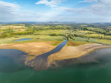
Aerial view of the Radolfzell Aachen estuary at historic lows, low tide at water level 286 cm with
BRK26H64_404

Aerial view of the Radolfzell Aachen estuary at hi...
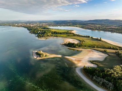
Aerial view of the Mettnau peninsula near Radolfzell on Lake Constance at historic lows, low tide
BRK26H56_368

Aerial view of the Mettnau peninsula near Radolfze...
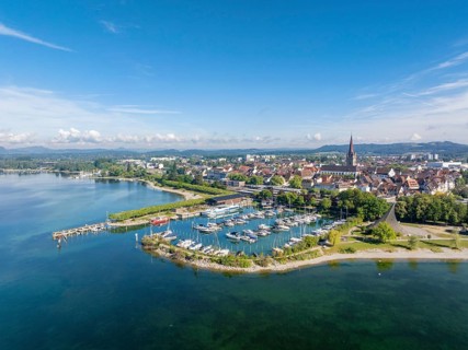
Aerial view of the town of Radolfzell on Lake Constance with the Wäschbruckhafen, harbour pier and
BRK26H02_434

Aerial view of the town of Radolfzell on Lake Cons...
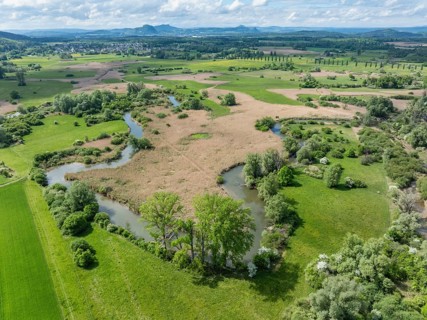
Aerial view, top down view of Radolfzeller Aachried with Radolfzeller Aach, on the horizon the
BRK26H03_070

Aerial view, top down view of Radolfzeller Aachrie...
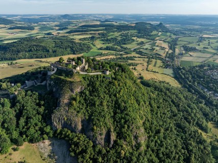
Aerial view of the Hohentwiel volcanic cone with Germany's largest fortress ruin, in the morning
BRK26H41_104

Aerial view of the Hohentwiel volcanic cone with G...
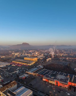
Aerial view of the industrial area of the city of Singen am Hohentwiel, after sunrise, the
BRK26G92_120

Aerial view of the industrial area of the city of ...
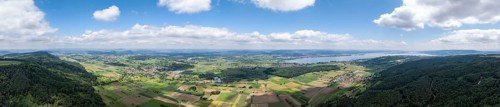
Aerial view, panorama from Schienerberg with the Hegau mountains on the horizon on the left and the
BRK26G32_100

Aerial view, panorama from Schienerberg with the H...
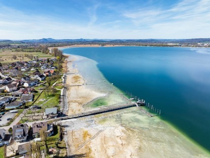
Aerial view of the Lake Constance community of Iznang on the Höri peninsula with the jetty and boat
BRK26G27_342

Aerial view of the Lake Constance community of Izn...
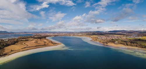
Aerial view, panorama of the Mettnau peninsula near Radolfzell am Lake Constance at low tide, the
BRK26G31_073

Aerial view, panorama of the Mettnau peninsula nea...
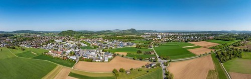
Aerial view, panorama of the municipality of Rielasingen-Worblingen with the industrial estate, on
BRK26G42_191

Aerial view, panorama of the municipality of Riela...
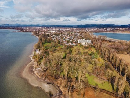
Aerial view of the Mettnau peninsula in western Lake Constance with winter vegetation with the
BRK26F59_476

Aerial view of the Mettnau peninsula in western La...
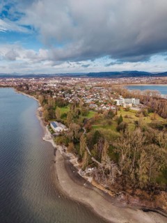
Aerial view of the Mettnau peninsula in western Lake Constance with winter vegetation with the
BRK26F59_445

Aerial view of the Mettnau peninsula in western La...
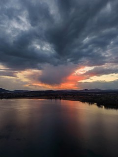
Aerial view of Lake Constance, Untersee near Radolfzell after sunset, on the horizon the Hegauberge
BRK26D53_355

Aerial view of Lake Constance, Untersee near Radol...
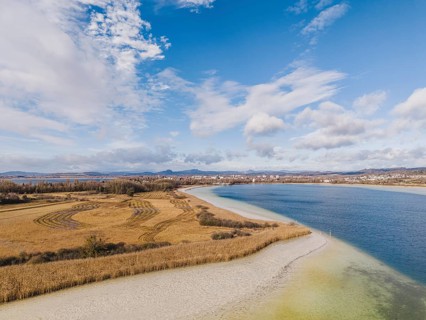
Aerial view of the Mettnau peninsula near Radolfzell on Lake Constance at low tide, the Hegauberge
BRK26E33_464

Aerial view of the Mettnau peninsula near Radolfze...
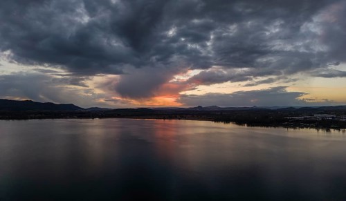
Aerial view, panorama of Lake Constance, Untersee near Radolfzell after sunset, on the horizon the
BRK26E47_288

Aerial view, panorama of Lake Constance, Untersee ...
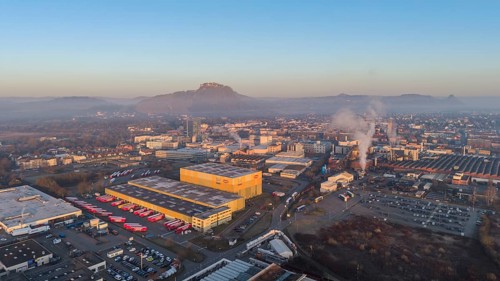
Aerial view, panorama of the industrial area of the city of Singen am Hohentwiel, after sunrise,
BRK26D94_181

Aerial view, panorama of the industrial area of th...
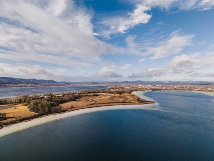
Aerial view of the Mettnau peninsula near Radolfzell on Lake Constance at low tide, the Hegauberge
BRK26D70_122

Aerial view of the Mettnau peninsula near Radolfze...

Aerial view, panorama of the town of Aach in Hegau, with the Radolfzeller Aach, which flows into
BRK26C65_249

Aerial view, panorama of the town of Aach in Hegau...

Aerial view of the industrial area of the city of Singen am Hohentwiel, after sunrise, the
BRK26C77_171

Aerial view of the industrial area of the city of ...

Aerial view of the Mettnau peninsula near Radolfzell on Lake Constance at low tide, the Hegauberge
BRK26C99_218

Aerial view of the Mettnau peninsula near Radolfze...

Aerial view of the municipality of Steißlingen, on the horizon the Hegauberge, district of
BRK26C65_412

Aerial view of the municipality of Steißlingen, on...

Aerial view, panorama of the municipality of Steißlingen, on the horizon the Hegau mountains,
BRK26C60_240

Aerial view, panorama of the municipality of Steiß...

Aerial view of the Hegau volcano Hohentwiel with Germany's largest fortress ruins on a cold, foggy
BRK26C56_500

Aerial view of the Hegau volcano Hohentwiel with G...
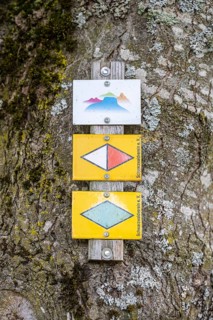
Schilder, Wegweiser, vom Schwarzwaldverein, der sich der Pflege und Markierung von Wanderwegen
BRK26C54_489

Schilder, Wegweiser, vom Schwarzwaldverein, der si...

Aerial view of the town of Radolfzell on Lake Constance with the riverbanks and filming location of
BRK26B65_487

Aerial view of the town of Radolfzell on Lake Cons...

Luftbild, Panorama von der Stadt Engen im Hegau mit der historischen Altstadt, am Horizont die
BRK26B01_130

Luftbild, Panorama von der Stadt Engen im Hegau mi...

Luftbild, Panorama von der Stadt Engen im Hegau am Horizont die Hegauberge Hohenhewen, ganz links
BRK26B01_127

Luftbild, Panorama von der Stadt Engen im Hegau am...

Luftbild, Panorama von der Stadt Engen im Hegau mit der historischen Altstadt, am Horizont die
BRK26B01_126

Luftbild, Panorama von der Stadt Engen im Hegau mi...

Luftbild, Panorama von einer vulkanisch geprägten Landschaft im Abendlicht, im Vordergrund der
BRK25M81_209

Luftbild, Panorama von einer vulkanisch geprägten ...

Luftbild, Panorama von einer vulkanisch geprägten Landschaft im Abendlicht, im Vordergrund der
BRK25M15_100

Luftbild, Panorama von einer vulkanisch geprägten ...
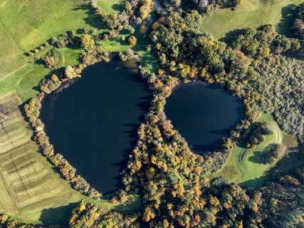
Aerial view of Lake Beech including Güttinger See, a swimming lake near Radolfzell am Lake
BRK25M07_338

Aerial view of Lake Beech including Güttinger See,...

Gravel shore, Lake Constance shore at Mettnaupark near Radolfzell am Lake Constance, surrounded by
BRK25M06_118

Gravel shore, Lake Constance shore at Mettnaupark ...

Gravel shore, pebble beach, Lake Constance shore at Mettnaupark near Radolfzell am Lake Constance,
BRK25M06_116

Gravel shore, pebble beach, Lake Constance shore a...

Gravel shore, pebble beach, Lake Constance shore at Mettnaupark near Radolfzell am Lake Constance,
BRK25M06_117

Gravel shore, pebble beach, Lake Constance shore a...

Gravel shore, pebble beach, Lake Constance shore at Mettnaupark near Radolfzell am Lake Constance,
BRK25M06_115

Gravel shore, pebble beach, Lake Constance shore a...

Gravel shore, pebble beach, Lake Constance shore at Mettnaupark near Radolfzell am Lake Constance,
BRK25M06_114

Gravel shore, pebble beach, Lake Constance shore a...

Gravel shore, Lake Constance shore at Mettnaupark near Radolfzell am Lake Constance, with the
BRK25M06_113

Gravel shore, Lake Constance shore at Mettnaupark ...

Gravel shore, Lake Constance shore at Mettnaupark near Radolfzell am Lake Constance, with the
BRK25M06_111

Gravel shore, Lake Constance shore at Mettnaupark ...

Luftbild, Panorama von einer vulkanisch geprägten Landschaft im Abendlicht, im Vordergrund der
BRK25L86_224

Luftbild, Panorama von einer vulkanisch geprägten ...
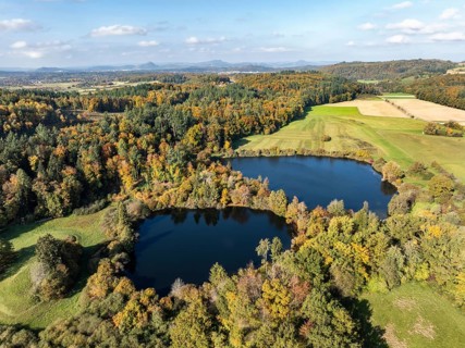
Aerial view of Lake Beech including Güttinger See, a swimming lake near Radolfzell am Lake
BRK25L71_288

Aerial view of Lake Beech including Güttinger See,...
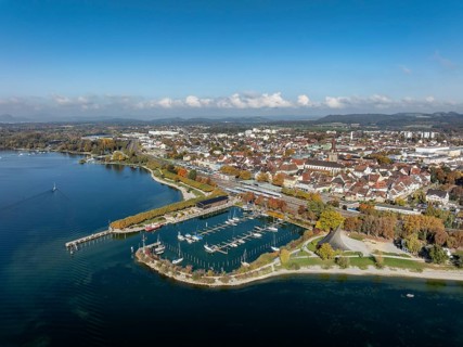
Aerial view of the town of Radolfzell on Lake Constance with the Wäschbruckhafen, harbour pier and
BRK25L70_248

Aerial view of the town of Radolfzell on Lake Cons...

Luftbild, Panorama von einer vulkanisch geprägten Landschaft im Abendlicht, im Vordergrund der
BRK25L86_225

Luftbild, Panorama von einer vulkanisch geprägten ...
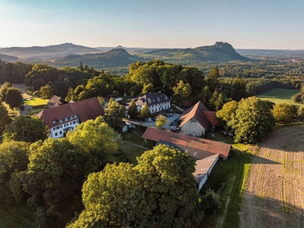
Luftbild von einer Hofsiedlung mit dem Berggasthaus Rosenegg, dahinter die Hegauberge,
BRK25L86_227

Luftbild von einer Hofsiedlung mit dem Berggasthau...

Luftbild von einer Hofsiedlung mit dem Berggasthaus Rosenegg, dahinter die Hegauberge,
BRK25L86_228

Luftbild von einer Hofsiedlung mit dem Berggasthau...
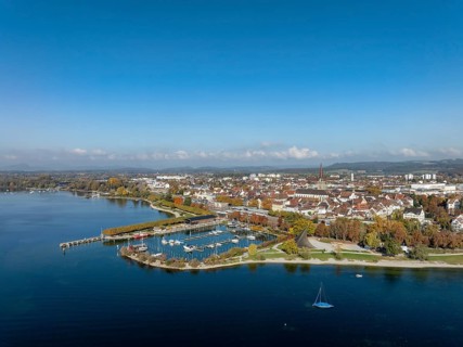
Aerial view of the town of Radolfzell on Lake Constance with the Wäschbruckhafen, harbour pier and
BRK25L17_486

Aerial view of the town of Radolfzell on Lake Cons...
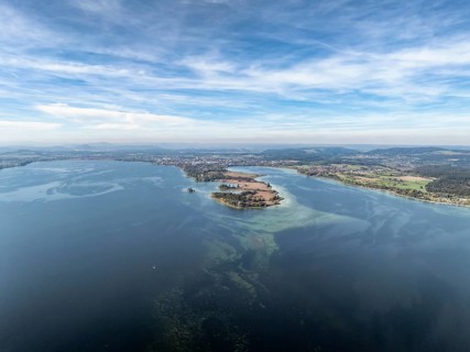
Aerial view of the Mettnau peninsula with the Markelfinger Winkel on the right and the Zeller See
BRK25L26_031

Aerial view of the Mettnau peninsula with the Mark...
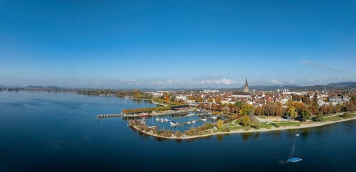
Aerial view, panorama of the town of Radolfzell on Lake Constance with the Wäschbruckhafen, harbour
BRK25L17_488

Aerial view, panorama of the town of Radolfzell on...

Aerial view, panorama with view over Mettnaupark and the town of Radolfzell am Lake Constance, the
BRK25L17_487

Aerial view, panorama with view over Mettnaupark a...
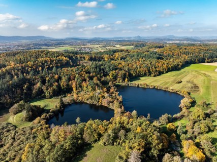
Aerial view of Lake Beech including Güttinger See, a swimming lake near Radolfzell am Lake
BRK25K88_143

Aerial view of Lake Beech including Güttinger See,...
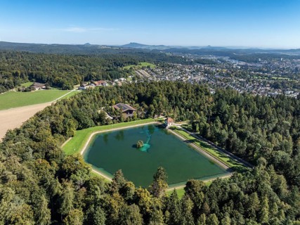
Aerial view of the Engeweiher above Schaffhausen, built in 1907 and the first pumped storage plant
BRK25J87_426

Aerial view of the Engeweiher above Schaffhausen, ...

Aerial view, panorama of the municipality and enclave of Büsingen am Hochrhein, Rhine, on the left
BRK25J87_429

Aerial view, panorama of the municipality and encl...

Aerial view, panorama of the town of Singen am Hohentwiel, on the horizon the Hegau mountains,
BRK25J64_069

Aerial view, panorama of the town of Singen am Hoh...
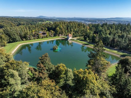
Aerial view of the Engeweiher above Schaffhausen, built in 1907 and the first pumped storage plant
BRK25J87_425

Aerial view of the Engeweiher above Schaffhausen, ...
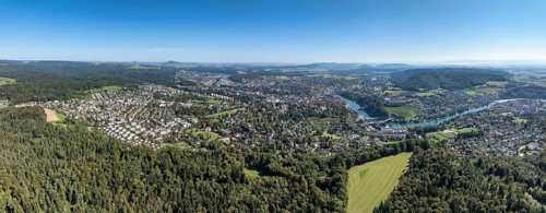
Aerial view, panorama of the city of Schaffhausen with the Rhine, on the horizon the Hegau
BRK25J87_427

Aerial view, panorama of the city of Schaffhausen ...
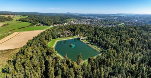
Aerial view, panorama of the Engeweiher above Schaffhausen, built in 1907 and the first pumped
BRK25J87_423

Aerial view, panorama of the Engeweiher above Scha...

Aerial view of the town of Singen am Hohentwiel with the state garden show grounds, on the right
BRK25J64_075

Aerial view of the town of Singen am Hohentwiel wi...
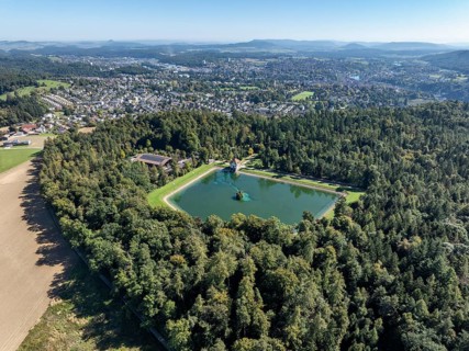
Aerial view of the Engeweiher above Schaffhausen, built in 1907 and the first pumped storage plant
BRK25J87_424

Aerial view of the Engeweiher above Schaffhausen, ...

Aerial view of the town of Singen am Hohentwiel, on the horizon the Hegau Mountains, district of
BRK25J64_071

Aerial view of the town of Singen am Hohentwiel, o...

Aerial view, panorama of the town of Singen am Hohentwiel with the Münchriedstadion and
BRK25J64_080

Aerial view, panorama of the town of Singen am Hoh...

Aerial view of the town of Singen am Hohentwiel, on the horizon the Hegau Mountains, district of
BRK25J64_073

Aerial view of the town of Singen am Hohentwiel, o...

Aerial view, panorama of the municipality and enclave of Büsingen am Hochrhein, Rhine, on the right
BRK25J87_430

Aerial view, panorama of the municipality and encl...

Aerial view, solar modules, solar park, photovoltaics, power generation from solar energy, behind
BRK25J64_072

Aerial view, solar modules, solar park, photovolta...

Aerial view, panorama, solar modules, solar park, photovoltaics, power generation from solar
BRK25J64_082

Aerial view, panorama, solar modules, solar park, ...

Aerial view, panorama of the town of Singen am Hohentwiel, on the horizon the Hegau mountains,
BRK25J64_081

Aerial view, panorama of the town of Singen am Hoh...

Aerial view, panorama of the town of Singen am Hohentwiel with the Münchriedstadion and
BRK25J64_077

Aerial view, panorama of the town of Singen am Hoh...

Aerial view of the town of Singen am Hohentwiel with the Münchriedstadion and Friedrich-Wöhler
BRK25J64_083

Aerial view of the town of Singen am Hohentwiel wi...

Aerial view, of the municipality of Rielasingen-Worblingen with the Ten-Brink-School, community
BRK25H50_497

Aerial view, of the municipality of Rielasingen-Wo...

Aerial view, panorama of Arenenberg with Arenenberg Castle, Napoleon Museum, on the lakeshore the
BRK25E76_307

Aerial view, panorama of Arenenberg with Arenenber...
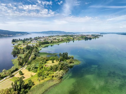
Aerial view of the island of Reichenau in Lake Constance with the Höri peninsula and the Hegauberge
BRK25E51_279

Aerial view of the island of Reichenau in Lake Con...

Aerial view of the municipality Rielasingen-Worblingen, district Worblingen, on the horizon the
BRK25E73_402

Aerial view of the municipality Rielasingen-Worbli...
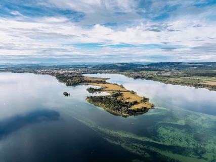
Aerial view of the Mettnau peninsula near Radolfzell on Lake Constance, the Hegau mountains on the
BRK25E45_355

Aerial view of the Mettnau peninsula near Radolfze...

Aerial view of western Lake Constance with the Radolfzeller Aachried and the Mooser Damm at high
BRK25D03_168

Aerial view of western Lake Constance with the Rad...

Aerial view, panorama of the Radolfzeller Aachried with the Radolfzeller Aach at high water, on the
BRK25D06_296

Aerial view, panorama of the Radolfzeller Aachried...
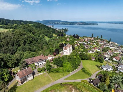
Aerial view of Salenstein Castle above the municipality of Mannenbach-Salenstein on western Lake
BRK25B83_452

Aerial view of Salenstein Castle above the municip...
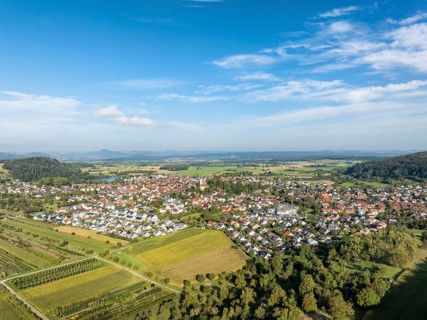
Aerial view of the municipality of Steißlingen, on the horizon the Hegauberge, district of
BRK25A54_039

Aerial view of the municipality of Steißlingen, on...
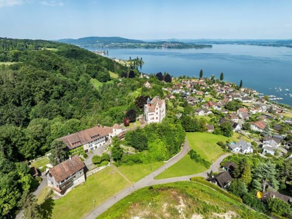
Aerial view of Salenstein Castle above the municipality of Mannenbach-Salenstein on western Lake
BRK25A83_298

Aerial view of Salenstein Castle above the municip...
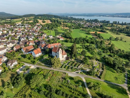
The church of St Johann and Vitus in Horn on the Höri peninsula, on the horizon the Hegau mountains
BRK25A27_258

The church of St Johann and Vitus in Horn on the H...
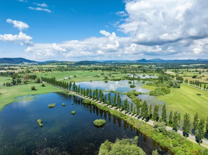
Aerial view of western Lake Constance with the Radolfzeller Aachried and the Mooser Damm at high
BRK24I81_426

Aerial view of western Lake Constance with the Rad...
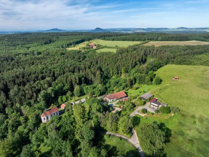
Aerial view of the Schenkenberg Chapel, a pilgrimage chapel built in 1722, with the Schenkenberger
BRK24I63_304

Aerial view of the Schenkenberg Chapel, a pilgrima...
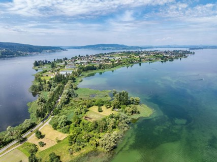
Aerial view of the island of Reichenau in Lake Constance with the Thurgau lake ridge on the horizon
BRK24I80_223

Aerial view of the island of Reichenau in Lake Con...
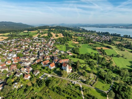
The church of St Johann and Vitus in Horn on the Höri peninsula, on the horizon the Hegau mountains
BRK24I05_332

The church of St Johann and Vitus in Horn on the H...

Aerial panorama of the Hegau volcano Hohentwiel with Germany's largest fortress ruins on a cold,
BRK24I00_084

Aerial panorama of the Hegau volcano Hohentwiel wi...
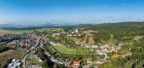
Aerial view, panorama of the town of Aach in Hegau, with the Radolfzeller Aach, which flows into
BRK24H45_389

Aerial view, panorama of the town of Aach in Hegau...

  • Page
  • of
  • 3