Title
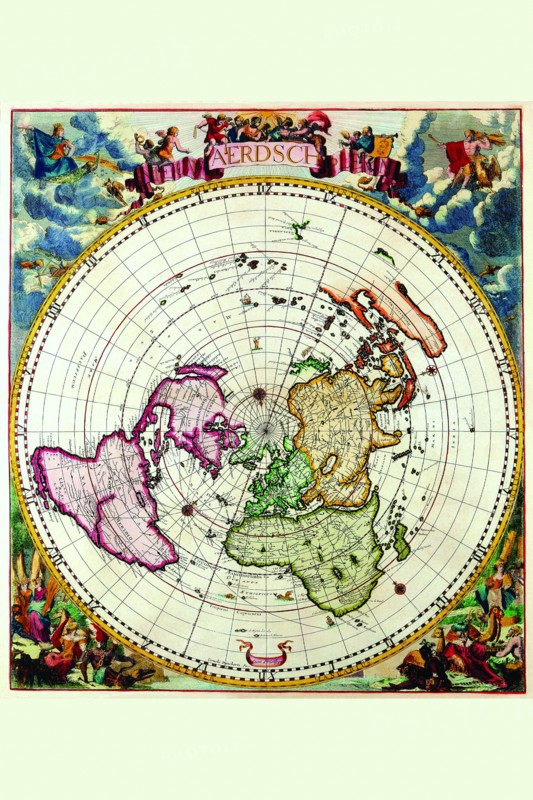
Polar Projection Map of the World 1700
Caption
The Dankerts family was a prominent print and map selling family active in Amsterdam for nearly a century. Cornelis Danckerts (1603-1656) “The Elder” and Justus Danckerts (1635-1701) were by far its most significant members. Maps bearing the names Justus or Theodorus Danckerts were produced and placed in atlases between 1680 and 1700. These are very rare. The title pages and maps of these atlases are undated making it difficult, if not impossible, to place a map in a particular edition. The Danckerts were also noted for production of splendid wall maps of the world and the continents.
Date
1700
Credit line
Photo12/Universal Images Group
Reference
UMG20A04_097
Model release
NA
Property release
NA
License type
Droits gérés
Available size
38.0Mo (4.6Mo) / 25.2cm x 37.8cm / 2977 x 4466 (300dpi)