Title
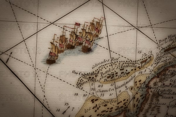
Close up of antique map of coastline of England with tall ships.
Caption
Close up of antique map of coastline of England with tall ships.
Info+
Photo Tom Grill
Date
2011
Credit line
Photo12/Tetra Images
Reference
TTM11A11_465
Model release
No
License type
Royalty free
Available size
50.0Mb (1.9Mb) / 17.1in x 11.4in / 5120 x 3413 (300dpi)