Title
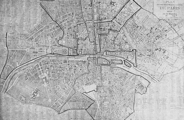
Map of Paris in 1801
Caption
Map of Paris in 1801
"Plan routier de la ville et faubourg, divisé en 12 mairies" (Road map of the town and suburb, divided in 12 districts).
Engraving from Dépôt des cartes et plans de la Bibliothèque Nationale.
In : Louis Barron, Paris Pittoresque 1800-1900. La Vie - Les Moeurs - Les Plaisirs, Paris, Société Française d'Editions d'Art L.-Henry May, 1899.
Date
1801
Credit line
Photo12/Fondation Napoléon
Reference
NPL07192_007
Model release
No
License type
Rights managed
Available size
44.8Mb (3.4Mb) / 16.3in x 10.7in / 4882 x 3204 (300dpi)