Caption
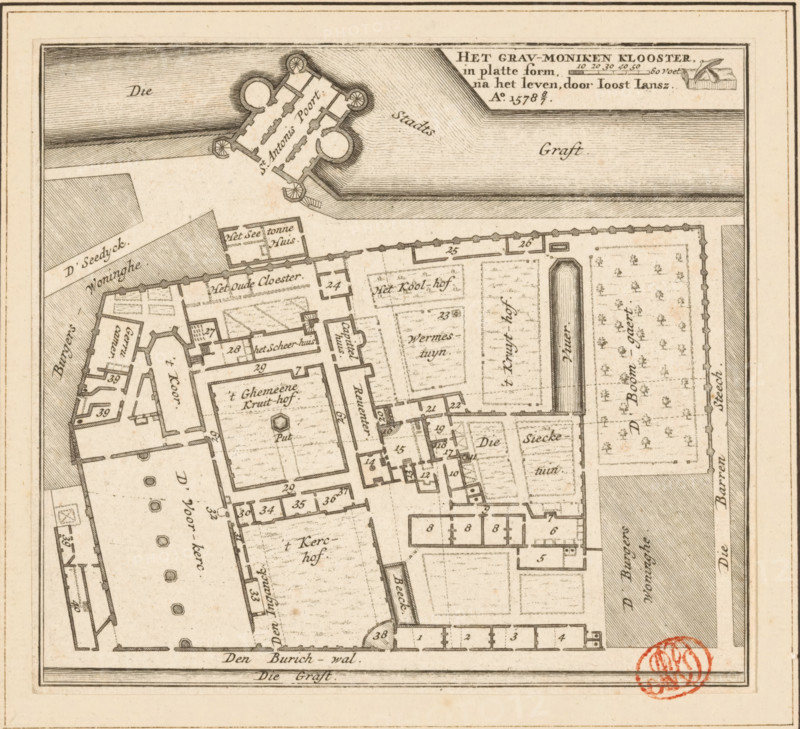
The Grau-moniken Monastery, in plan form, Plan of the Franciscan Monastery in Amsterdam, 1578, print, book illustration, Plan of the Franciscan Monastery between the Oudezijds Achterburgwal and the Zeedijk, Kloveniersburgwal in Amsterdam. In the upper right a cartouche with the title and a scale bar: 60 Feet., after drawing by Joost Jansz. Bilhamer, publisher: Johannes van Septeren (I) (possibly), Amsterdam, 1729, printmaker, paper, etching, engraving, height 146 mm x width 161 mm, Print also used in: Long, 1729., abbey, monastery, convent, Roman Catholic church, city-gate, maps of cities, Kloveniersburgwal, Oudezijds Achterburgwal, Eerste Sint-Antoniespoort, Zeedijk, Minderbroedersklooster (Amsterdam), A detailed black and white architectural map showing a walled complex with courtyards, rectangular and irregular building footprints, garden plots with small tree symbols, and a long narrow water feature; surrounding areas include hatched shading indicating open spaces and waterways, a fortified bastion with circular towers and angled walls at the top edge, many interior rooms and corridors rendered in plan view, dotted and dashed lines marking paths or boundaries, and a circular red stamp partially overlapping the lower right corner.
Credit line
Photo12/Liszt Collection
Reference
LZT26B34_251
License type
Rights managed
Available size
51.8Mb (12.2Mb) / 14.8in x 13.5in / 4454 x 4062 (300dpi)