Caption
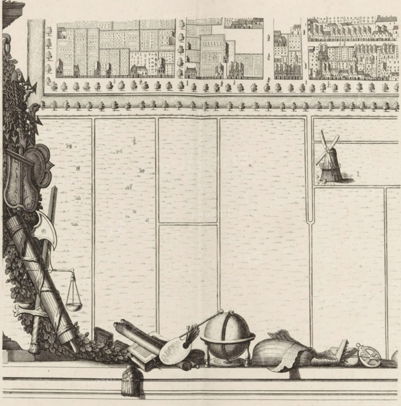
Plan of the figurative map of The Hague (tenth part), Map of The Hague (tenth part), area plan, print, Tenth part of a map of The Hague. Along the left and bottom a garland of leaves, coats of arms and objects referring to the fine arts. Numbered bottom right: 10., check stamp: 'Archief Ministerie van Oorlog Afdeeling Genie', printmaker: Cornelis Elandts, The Hague, publisher: Nicolaes Visscher (II), Amsterdam, grantor of privilege: States of Holland and West Friesland, dedicated to: William III (Prince of Orange and King of England, Scotland, and Ireland), 1665 - 1667, 1681 - 1682, William III (Prince of Orange and King of England, printmaker, publisher, surveyor, cartographer, grantor of privilege, paper, etching, height 548 mm x width 651 mm, maps of cities, A detailed black and white engraved scene shows the upper portion of a map with a row of densely drawn houses and garden plots along a street lined with evenly spaced trees, a canal or river with tree-lined embankments below, and large rectangular field parcels beneath. On the right edge of the map a windmill stands inside one field. The lower border is decorated with
Credit line
Photo12/Liszt Collection
Reference
LZT26B34_123
License type
Rights managed
Available size
36.7Mb (7.5Mb) / 11.9in x 12.0in / 3561 x 3604 (300dpi)