Caption
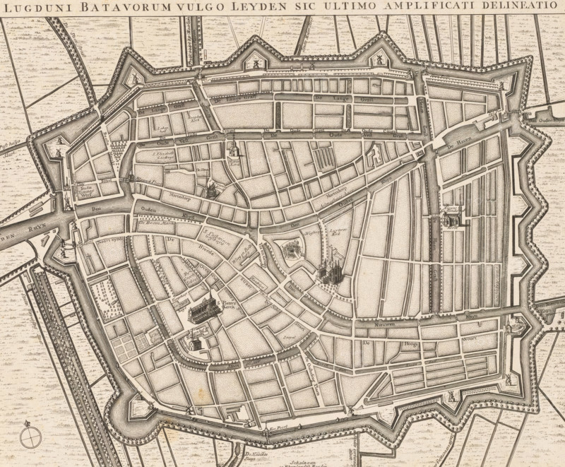
Lugduni Batavorum vulgo Leyden sic ultimo amplificati delineatio, Map of Leiden, area plan, print, Map in bird's-eye view perspective. Title along the top, numbered 8 in the upper right. A scale bar at the bottom center: Scale of 50 Rhineland rods., printmaker: R. Benning, 1650 - 1750, R. Benning, printmaker, paper, etching, height 311 mm x width 375 mm, maps of cities, Leiden, An aged, detailed map showing a fortified walled town with angular bastions and ramparts surrounded by waterways and agricultural plots, a network of narrow streets and canals forming a dense grid, numerous small rectangular parcels and open squares, several distinct church buildings with steeples, clusters of closely drawn houses, bridges crossing canals, rows of trees along some streets and ramparts, decorative compass rose in a corner, and extensive fine line hatching and stippling used to indicate water, vegetation, and built areas.
Credit line
Photo12/Liszt Collection
Reference
LZT26B34_056
License type
Rights managed
Available size
41.2Mb (6.1Mb) / 13.9in x 11.5in / 4174 x 3449 (300dpi)