Caption
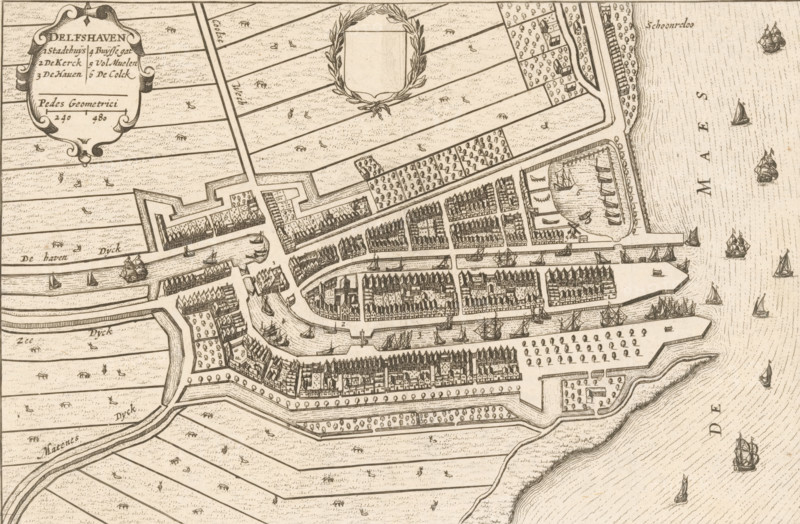
Delfshaven, Map of Delfshaven, area plan, print, book illustration, printmaker, publisher, Amsterdam, paper, etching, height 147 mm x width 226 mm, An antique map view rendered in fine lines shows a fortified town with walls and bastions, rows of closely packed buildings with gabled roofs, narrow streets and canals winding through the settlement, quays and enclosed harbor areas with small sailing vessels, surrounding agricultural plots divided into long strips with scattered small marks suggesting vegetation or animals, ornamental cartouches and a laurel wreath, several larger ships depicted offshore on a textured sea, and patterns indicating dikes and embankments along the water.
Credit line
Photo12/Liszt Collection
Reference
LZT26B33_252
License type
Rights managed
Available size
58.3Mb (7.6Mb) / 18.6in x 12.2in / 5579 x 3655 (300dpi)