Caption
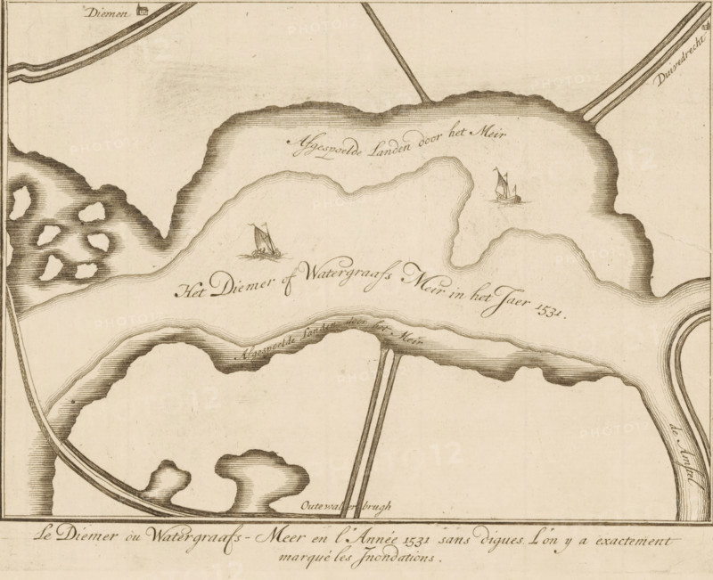
Le Diemer ou Watergraafs-Meer en l'Année 1531 sans digues. L'on ya extractement marqué les Jnondations, Map of the area around the Diemer- or Watergraafsmeer, print, map, Series number, 2, publisher: Andries de Leth (possibly), publisher: Hendrik de Leth (possibly), 1725, printmaker, paper, etching, height 165 mm x width 215 mm, Print published in: Het Verheerlykt Watergraefs- or Diemermeer. Amsterdam: Andre and Henry de Leth, 1725., maps, atlases, Amsterdam, Watergraafsmeer, A sepia-toned map segment showing irregularly shaped water bodies with shaded banks and contour-like lines, two small sailing boats depicted on the water with billowing sails, curving roads or embankments crossing the scene, small clustered landmasses with shaded textures, and various thin linear markings suggesting waterways and edges.
Credit line
Photo12/Liszt Collection
Reference
LZT26B33_194
License type
Rights managed
Available size
56.9Mb (5.5Mb) / 16.5in x 13.4in / 4943 x 4024 (300dpi)