Caption
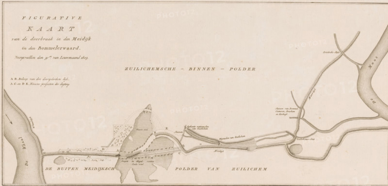
Map of dike breach in the Bommelerwaard, 1809, Figurative Map of the breach in the Meidijk in the Bommelerwaard, occurred on the 30th of January 1809, print, book illustration, map, printmaker, publisher, Amsterdam, Netherlands, paper, etching, height 276 mm x width 407 mm, A sepia-toned map-like drawing showing a wide horizontal layout with shaded waterways and landforms, including an irregular island shape near the center with contour hatching and small tree symbols on adjacent areas, sinuous rivers on both left and right edges with fine parallel line shading to indicate flow, a long narrow raised embankment or dyke running across the lower central area with small hatch marks along its length, several curved channels and loops connecting to the main waterways, short lines and stippled shading indicating terrain and marshy patches, tiny rectangular structures and linear features suggesting built elements near the embankment, delicate cross-hatching and dotted textures used throughout to define elevation and surface, a thin decorative border framing the entire image and faint scattered spots of age on the paper surface.
Credit line
Photo12/Liszt Collection
Reference
LZT26B33_075
License type
Rights managed
Available size
54.2Mb (8.4Mb) / 21.0in x 10.0in / 6291 x 3012 (300dpi)