Caption
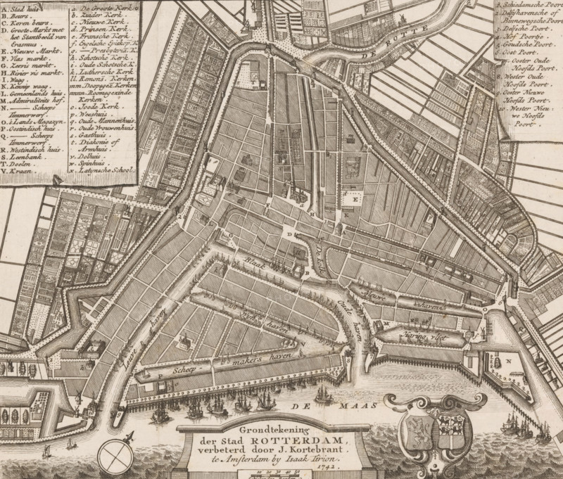
Ground plan of the city of Rotterdam, Map of Rotterdam, area plan, print, printmaker, cartographer, publisher, paper, etching, engraving, height 176 mm x width 204 mm, A detailed monochrome engraved city map showing canals, waterways, docks, bridges, and fortified walls with angular bastions, densely packed grids of streets and parcels, rows of buildings and warehouses along quays, small ships and sailing vessels in a river area, compass rose and ornate cartouche with heraldic shield, many rectangular plots with garden-like patterns, clusters of closely drawn houses, dotted lines indicating pathways, labeled map keys in columns, and numerous small architectural icons representing towers and churches.
Credit line
Photo12/Liszt Collection
Reference
LZT26B32_308
License type
Rights managed
Available size
58.8Mb (8.4Mb) / 16.4in x 13.9in / 4911 x 4184 (300dpi)