Caption
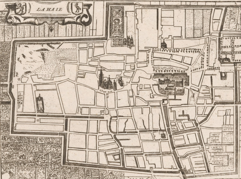
Map of The Hague, La Haie, area plan, print, printmaker: Jacobus Harrewijn (possibly), 1730 - 1750, paper, etching, height 159 mm x width 200 mm, Possibly from: Les Délices des Pays Bas. Histoire Generale des Pais-Bas contenant la Description des XVII Provinces. Brussels: Weduwe Foppens, 1743., maps of cities, The Hague, A sepia-toned engraved map fragment showing a walled urban area with streets and rectangular blocks, a variety of stylized buildings including clustered churches with spires and domes, a large complex of dense architectural detail set within a courtyard, patterned garden beds and tree-lined avenues, open plots with hatch and dot shading suggesting different ground textures, decorative cartouche elements along the top edge, a surrounding fortified wall with bastions, and a network of canals or water-filled moats running alongside streets and the outer perimeter.
Credit line
Photo12/Liszt Collection
Reference
LZT26B32_289
License type
Rights managed
Available size
46.8Mb (12.3Mb) / 15.6in x 11.6in / 4690 x 3488 (300dpi)