Caption
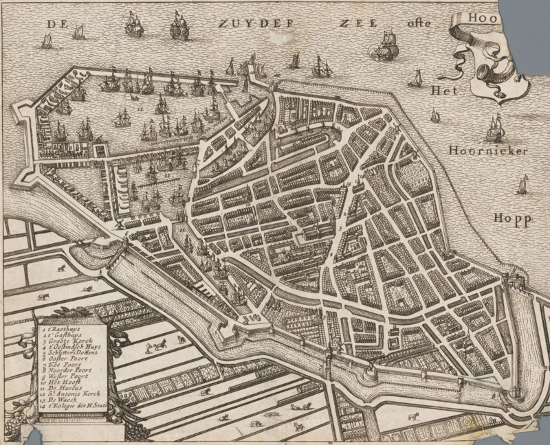
Hoorn, Map of the city of Hoorn, area plan, print, annotation: 'Short description of the city of Hoorn.', c. 1600 - c. 1699, paper, etching, engraving, height 153 mm x width 189 mm, maps of cities, An antique bird’s-eye map view rendered in fine linework showing a fortified coastal town with a network of streets and canals, densely packed rows of rectangular buildings and clustered houses, stone fortifications and bastions along the shoreline, docks and piers extending into the water, numerous sailing ships and smaller boats depicted in the harbor and open sea, patterned waves filling the water areas, open cultivated fields with long rectangular plots and small grazing animals beyond the town walls, bridges and gateways crossing the canals, and decorative cartouche elements at the map edges.
Credit line
Photo12/Liszt Collection
Reference
LZT26B32_264
License type
Rights managed
Available size
49.4Mb (7.8Mb) / 15.4in x 12.5in / 4613 x 3742 (300dpi)