Caption
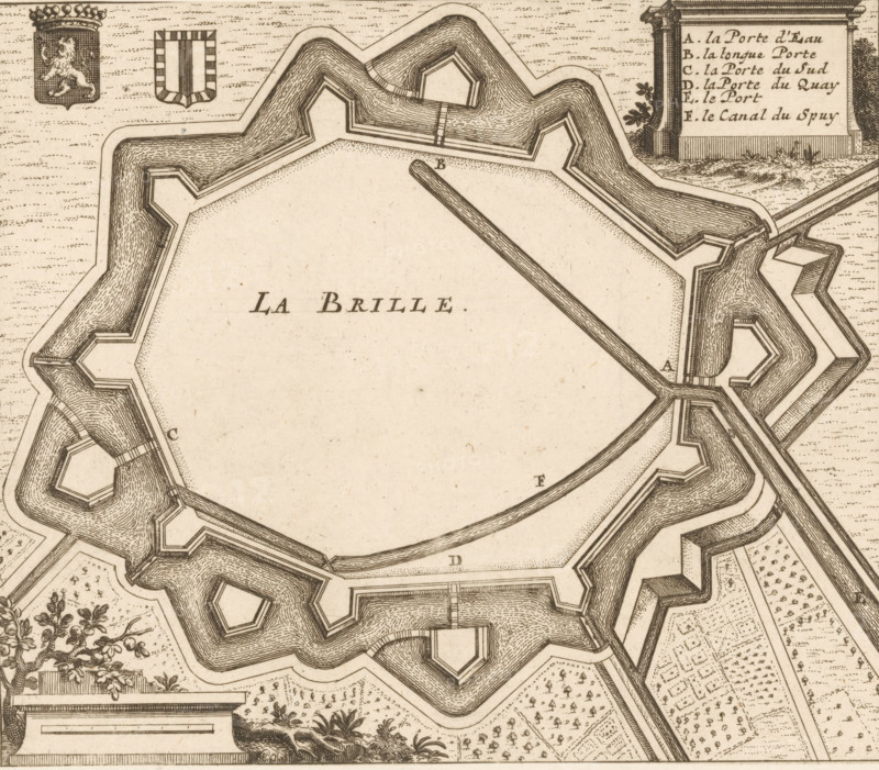
La Brille, Fortification plan of Brielle, area plan, print, Plan of the fortifications of Brielle, with the city coat of arms on the left and a French legend with AF. on the right, Netherlands, c. 1670 - c. 1730, printmaker, paper, etching, height 151 mm x width 175 mm, maps of cities, fortified city, Brielle, A detailed bird's-eye view of a fortified star-shaped structure surrounded by layered moats and angular bastions, rendered in fine sepia lines and dot shading, with inner open space and a long straight pier extending toward the center, ornate decorative cartouches and small heraldic shields near the top, patterned garden plots and clipped vegetation outside the fortifications, and various walkways and ramps connecting the bastions.
Credit line
Photo12/Liszt Collection
Reference
LZT26B32_258
License type
Rights managed
Available size
47.2Mb (11.7Mb) / 14.5in x 12.7in / 4338 x 3806 (300dpi)