Caption
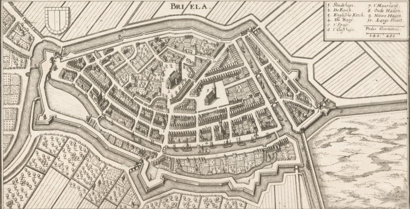
Map of Brielle, Briela, area plan, print, Top left the city coat of arms, top right a legend with the numbers 1-10., Netherlands, c. 1670 - c. 1730, printmaker, paper, etching, height 130 mm x width 250 mm, maps of cities, Brielle, A detailed bird’s-eye engraving of a walled town with angular bastions and layered defensive earthworks surrounding densely packed rows of buildings and narrow streets; a large church with a tall steeple stands near the center amid open squares and tree-filled gardens; canals and moats encircle the inner town with boats docked along quays; outside the fortifications are patterned agricultural fields and orchards divided by straight roads and hedges; a legend box appears in the corner with a list and a small scale; the whole image rendered in fine line work and hatching.
Credit line
Photo12/Liszt Collection
Reference
LZT26B32_257
License type
Rights managed
Available size
57.0Mb (8.3Mb) / 20.8in x 10.6in / 6238 x 3193 (300dpi)