Caption
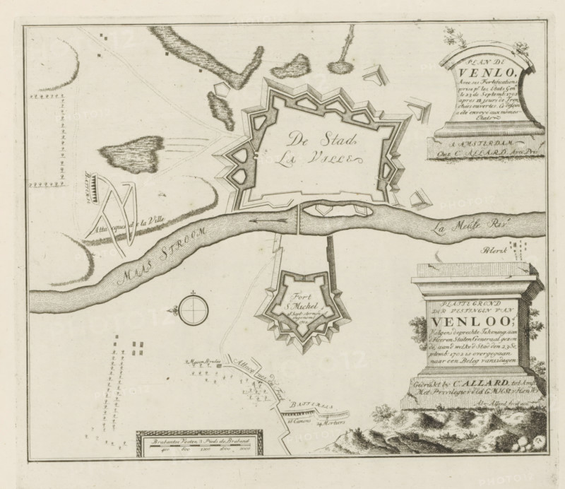
Map of the fortifications of Venlo, according to the accurate drawing sent to the Lords States General, to whom the City entered into a 12-day siege on September 23, 1702, Les Principales Forteresses & Villes Fortes, d'Espagne, de France, d'Italie, de Savoië, d'Allemagne & des Païs-Bas, Accurate Illustrations of the Main Strong Cities and Fortresses in Spain, France, Italy, Savoy, Germany and the Netherlands, print, album page, map, Map of the fortifications around the city of Venlo. Transferred to the United Netherlands after siege, September 23, 1702. With texts in Dutch and French., printmaker: Abraham Allard, Amsterdam, publisher: Carel Allard, publisher: Pieter van der Aa (I), Leiden, grantor of privilege: States of Holland and West Friesland, 1702 - 1733, Abraham Allard, Carel Allard, Pieter van der Aa (I), States of Holland and West Friesland, printmaker, publisher, grantor of privilege, paper, etching, height 248 mm x width 280 mm, fortifications, military engineering, maps of cities, War of Spanish Succession, Capture of Venlo (1702), Venlo, Meuse, Period, 1702-09-23, 1701 - 1713, A sepia-toned map fragment showing a star-shaped fortified town with angular bastions surrounded by earthwork shapes and a river winding horizontally across the image, bridges and fortifications crossing the river, a smaller star-shaped fort below the river, stylized vegetation and hatched marsh or water textures near the top, a circular compass rose, decorative cartouches with column-like pedestals and floral accents at the right edge, scattered small rectangular and dotted symbols indicating structures or positions, and a decorative scale panel near the bottom edge.
Credit line
Photo12/Liszt Collection
Reference
LZT26B29_169
License type
Rights managed
Available size
54.1Mb (10.6Mb) / 15.6in x 13.5in / 4673 x 4047 (300dpi)