Caption
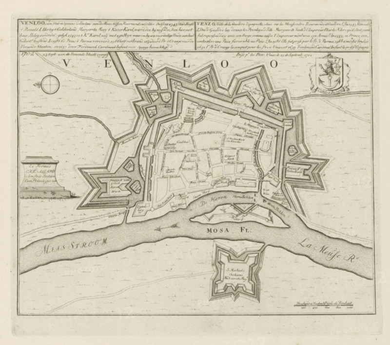
Venloo, a city in Spanish Gelderland, 1702 Sept 23: passed to the United States, Map of Venlo, Les Principales Forteresses & Villes Fortes, d'Espagne, de France, d'Italie, de Savoië, d'Allemagne & des Païs-Bas, Accurate Illustrations of the Main Strong Cities and Fortresses in Spain, France, Italy, Savoy, Germany and the Netherlands, print, album page, map, Map of the city of Venlo. Transferred to the United Netherlands after siege, September 23, 1702. With texts in Dutch and French., printmaker: Abraham Allard, Amsterdam, printmaker: Carel Allard, publisher: Carel Allard, publisher: Pieter van der Aa (I), Leiden, grantor of privilege: States of Holland and West Friesland, 1702 - 1733, Abraham Allard, Carel Allard, Pieter van der Aa (I), States of Holland and West Friesland, publisher, grantor of privilege, paper, etching, height 248 mm x width 283 mm, fortifications, military engineering, maps of cities, War of Spanish Succession, Capture of Venlo (1702), Venlo, Meuse, Period, 1701 - 1713, 1702-09-23, An aged engraved map fragment showing a star-shaped fortified town with angular bastions, inner streets and blocks, and surrounding ramparts, bordered by a winding river with a separate star-shaped fort on an island opposite the town; the map includes detailed hachured shading for water and earth, small building footprints and street layouts within the walls, geometric defensive outworks, a circular compass rose, a decorative coat of arms, and a pedestal-like cartouche, all rendered in fine linework on a mottled light paper background.
Credit line
Photo12/Liszt Collection
Reference
LZT26B29_168
License type
Rights managed
Available size
57.2Mb (11.7Mb) / 15.8in x 14.0in / 4747 x 4212 (300dpi)