Caption
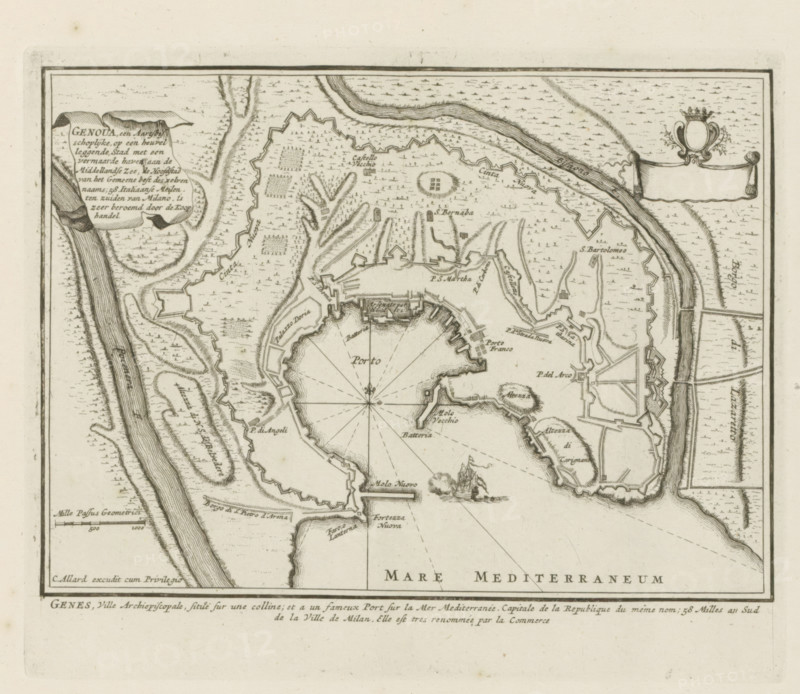
Genoua, an archiepiscopal city situated on a hill, Map of Genoa, Les Principales Forteresses & Villes Fortes, d'Espagne, de France, d'Italie, de Savoy, d'Allemagne & des Païs-Bas, Accurate Illustrations of the Main Strong Cities and Fortresses in Spain, France, Italy, Savoy, Germany and the Netherlands, print, album page, map, Map of Genoa. With texts in Dutch and French., printmaker: Abraham Allard, Amsterdam, printmaker: Carel Allard, publisher: Carel Allard, publisher: Pieter van der Aa (I), Leiden, grantor of privilege: States of Holland and West Friesland, 1701 - 1733, Abraham Allard, Carel Allard, Pieter van der Aa (I), States of Holland and West Friesland, publisher, grantor of privilege, paper, etching, height 183 mm x width 222 mm, maps of cities, War of Spanish Succession, Genoa, Period, 1701 - 1713, An aged map printed in dark ink on light paper showing a fortified coastal town with irregular star-shaped defensive walls around a semicircular harbor, radiating lines across the water from a central compass rose, narrow piers and breakwaters extending into the sea, clusters of small rectangular building blocks and labeled small blocks indicating structures, shaded hachure patterns for elevation and cultivated fields inside and outside the walls, winding rivers or channels flanking the town with textured water marks in the surrounding sea, a decorated cartouche and a blank banner near the upper corners, a small sailing ship drawn in the water, and a thin double borderline framing the map area.
Credit line
Photo12/Liszt Collection
Reference
LZT26B29_145
License type
Rights managed
Available size
34.3Mb (6.7Mb) / 12.4in x 10.8in / 3718 x 3229 (300dpi)