Caption
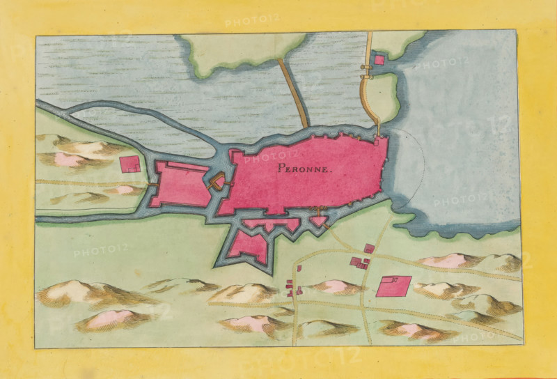
Peronne, Fortress map of Péronne, area plan, print, album page, This print is part of an album., after design by Matthäus Merian (II), publisher: Caspar Merian, Frankfurt am Main, colorer (graphic design artist): Anna Beeck, The Hague, 1656, printmaker, colorer (graphic design artist), Hessen, paper, engraving, etching, hand coloring, etching and engraving, hand colored, cut inside the plate edge and mounted in a hand-colored frame, height 185 mm x width 281 mm, height 532 mm x width 319 mm, A colored map segment framed by a wide yellow border shows a fortified pink irregularly shaped enclosure with angular bastions and surrounding blue water features, connected by narrow waterways to a larger pale blue body of water on the right. Green land areas with shaded, rounded hills in tan and pink tones surround the fortifications, with small detached pink rectangular buildings scattered on the land. Thin brown paths link some structures and lead toward the fortified area. The water surfaces are textured with horizontal lines and the land edges are outlined with darker strokes, while small docks and jetties extend into the water near the fortifications.
Credit line
Photo12/Liszt Collection
Reference
LZT26B23_416
License type
Rights managed
Available size
36.4Mb (8.9Mb) / 14.4in x 9.8in / 4326 x 2942 (300dpi)