Caption
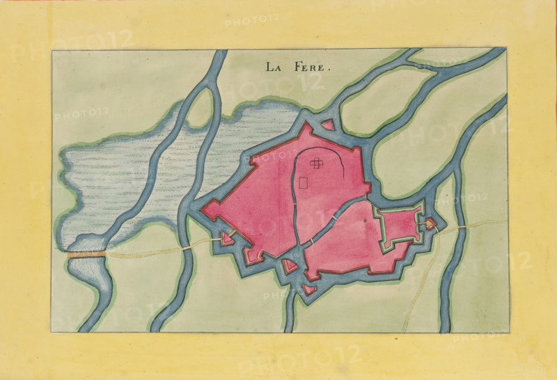
La Fere, Fortress map of La Fère, area plan, print, album page, This print is part of an album., after design by Matthäus Merian (II), publisher: Caspar Merian, Frankfurt am Main, colorer (graphic design artist): Anna Beeck, The Hague, 1656, printmaker, colorer (graphic design artist), Hessen, paper, engraving, etching, hand coloring, etching and engraving, hand colored, cut inside the plate edge and mounted in a hand-colored frame, height 178 mm x width 281 mm, height 532 mm x width 318 mm, A hand-drawn map with a pale yellow border surrounding a rectangular inner area, featuring a central irregularly shaped pink fortress outlined in dark lines and surrounded by blue moats and waterways; the waterways flow in curving paths and include shaded green edges and patterned blue areas, with bridges indicated by short tan segments; the interior of the fortress shows simple linear markings and small geometric shapes, and the map background within the rectangle is a pale green wash with faint texture.
Credit line
Photo12/Liszt Collection
Reference
LZT26B23_411
License type
Rights managed
Available size
39.8Mb (8.6Mb) / 15.0in x 10.3in / 4512 x 3082 (300dpi)