Caption
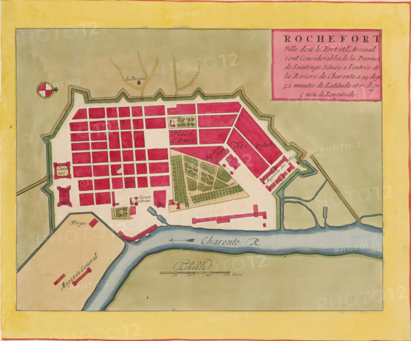
Rochefort ville dont le port et l'arcenal sont considerables, Map of Rochefort, area plan, print, album page, This print is part of an album., printmaker, colorer (graphic design artist), The Hague, paper, engraving, hand coloring, hand colored, cut off within the plate edge and mounted in a hand-colored frame, height 208 mm x width 271 mm, height 532 mm x width 320 mm, Card used in: Fer, Nicolas de. Les forces de l'Europe. 8 parts. Paris: Nicolas de Fer, 1690-1695. Mortier, Pieter. Les forces de l'Europe. 10 parts. Amsterdam: Pieter Mortier, ca. 1700, maps of cities, Rochefort (France), A colored map section showing a fortified town with angular bastions and a grid of rectangular blocks filled in pale red, bordered by a green rampart and beige outer area, a river with blue water flowing along the lower edge, a compass rose near the top left, a boxed cartouche in pink at the upper right, small gardens and tree-filled plots rendered in green within the town, elongated red-roofed buildings near the river, narrow streets in cream between the blocks, a decorative scale bar near the riverbank, and a wide yellow border framing the entire image.
Credit line
Photo12/Liszt Collection
Reference
LZT26B23_391
License type
Rights managed
Available size
42.0Mb (7.4Mb) / 14.0in x 11.7in / 4205 x 3495 (300dpi)