Caption
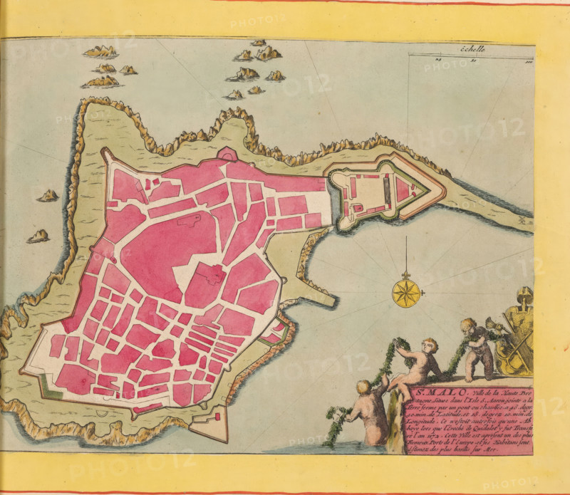
Map of Saint-Malo, St. Malo, ville de la haute Bretagne, area plan, print, album page, This print is part of an album., printmaker, colorer (graphic design artist), The Hague, paper, engraving, etching, hand coloring, etching and engraving, hand-colored, cut within the plate edge and pasted in a hand-colored frame, height 212 mm x width 279 mm, height 532 mm x width 320 mm, Map used in: Fer, Nicolas de. Les forces de l'Europe. 8 vols. Paris: Nicolas de Fer, 1690-1695. Mortier, Pieter. Les forces de l'Europe. 10 vols. Amsterdam: Pieter Mortier, ca. 1700., maps of cities, Saint-Malo, A colored map fragment showing a fortified coastal town area with irregular pink blocks representing streets and buildings, surrounded by pale green landforms and jagged brown rocky shoreline edges, a triangular fortification projecting into the water with inner walls and moats, small rocky islets scattered offshore, a yellow compass rose floating on the pale blue-gray sea, and decorative figures at the lower right including partially nude cherubic figures holding garlands and an armored figure with a helmet and spear adjacent to a rectangular pink cartouche.
Credit line
Photo12/Liszt Collection
Reference
LZT26B23_375
License type
Rights managed
Available size
39.2Mb (11.1Mb) / 13.2in x 11.5in / 3970 x 3449 (300dpi)