Caption
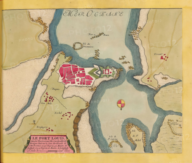
Map of Port-Louis and surroundings, Le Port Louis, print, album page, folder, This print is part of an album., printmaker, colorer (graphic design artist), The Hague, paper, engraving, etching, hand coloring, etching and engraving, hand-colored, cut off inside the plate edge and pasted in a hand-colored frame, height 224 mm x width 284 mm, height 532 mm x width 320 mm, Card used in: Fer, Nicolas de. Les forces de l'Europe. 8 parts. Paris: Nicolas de Fer, 1690-1695. Mortier, Pieter. Les forces de l'Europe. 10 parts. Amsterdam: Pieter Mortier, ca. 1700., maps of separate countries or regions, Port-Louis, A colored map section showing coastal landforms and waterways with winding rivers and inlets shaded in blue, clusters of small buildings and fortified structures filled in with pink, sandy shorelines dotted with tiny speckles, areas of green indicating open land, small illustrated hill groups and rocky outcrops in brown, a circular compass-like emblem with quadrants of red and yellow over water, and a decorative rectangular cartouche along the bottom edge partially visible with an ornamental border.
Credit line
Photo12/Liszt Collection
Reference
LZT26B23_374
License type
Rights managed
Available size
40.0Mb (10.8Mb) / 13.5in x 11.5in / 4057 x 3444 (300dpi)