Caption
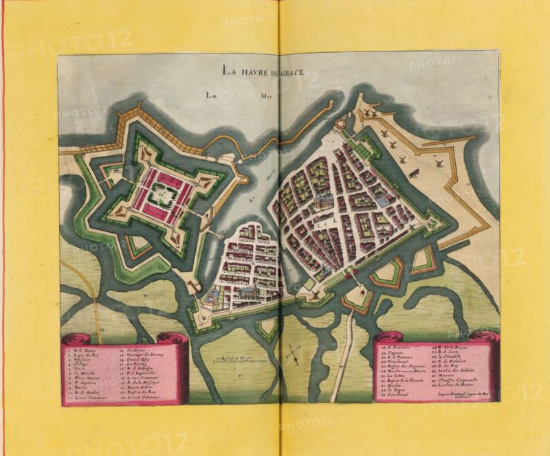
Le Havre de Grace, Map of Le Havre, area plan, print, album page, This print is part of an album., after drawing by Jacques Gomboust, publisher: Caspar Merian, Frankfurt am Main, colorer (graphic design artist): Anna Beeck, The Hague, 1657, printmaker, colorer (graphic design artist), Hessen, paper, engraving, etching, hand coloring, etching and engraving, hand colored, cut inside the plate edge and mounted in a hand-colored frame, height 231 mm x width 306 mm, height 532 mm x width 318 mm, A colored map fragment showing a fortified coastal town with star-shaped bastions, ramparts, and water channels, featuring densely packed buildings with varied roof colors clustered inside geometric defensive walls, green courtyards, and open squares; surrounding the town are shaded waterways and landforms with winding inlets and marshy textures, while along the edges are decorative scroll-like panels and a wide yellow border with a vertical fold line through the center of the image.
Credit line
Photo12/Liszt Collection
Reference
LZT26B23_370
License type
Rights managed
Available size
56.6Mb (4.9Mb) / 16.3in x 13.5in / 4881 x 4052 (300dpi)