Caption
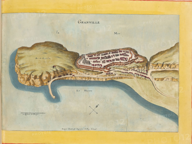
Map of Granville, Granville, area plan, print, album page, This print is part of an album., after drawing by Jacques Gomboust, publisher: Caspar Merian, Frankfurt am Main, colorer (graphic design artist): Anna Beeck, The Hague, 1657, printmaker, colorer (graphic design artist), Hessen, paper, engraving, etching, hand coloring, etching and engraving, hand colored, cut inside the plate edge and pasted in a hand-colored frame, height 165 mm x width 284 mm, height 532 mm x width 318 mm, A hand-colored map showing a coastal promontory and a fortified town with surrounding cliffs and water, featuring a peninsula with steep rocky edges, a curved pier-like structure extending into the sea, a walled settlement with clustered rectangular buildings and red-roofed houses, fortification walls and bastions, a larger hill area with grassy texture and a small isolated building, winding roads and paths connecting the coastal features, shaded water areas indicating a harbor or inlet, a compass rose, and a wide pale yellow border framing the map.
Credit line
Photo12/Liszt Collection
Reference
LZT26B23_369
License type
Rights managed
Available size
35.7Mb (9.4Mb) / 13.6in x 10.2in / 4079 x 3063 (300dpi)