Caption
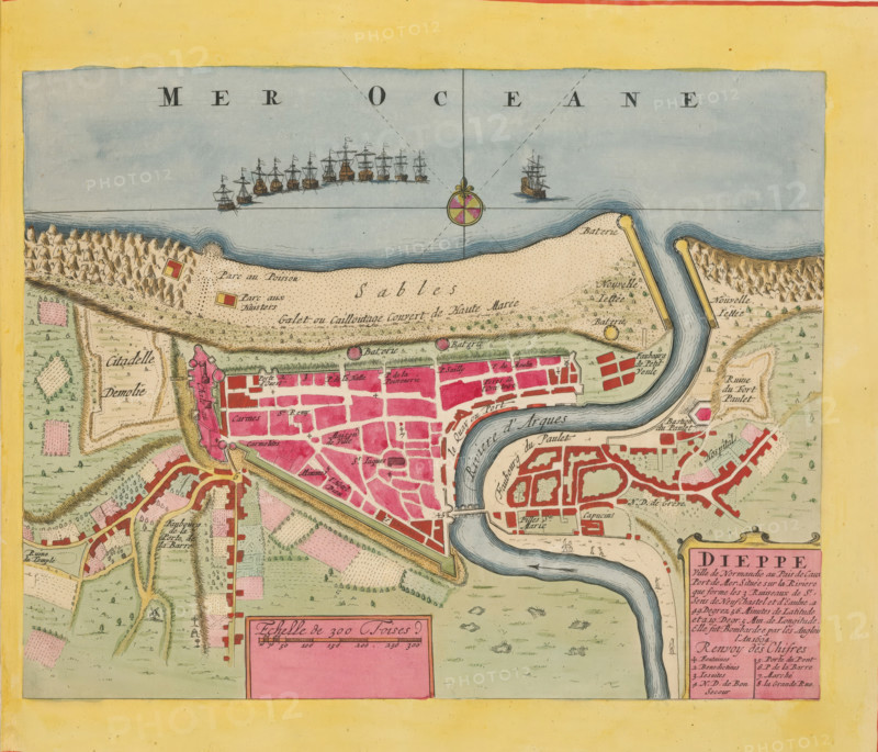
Map of Dieppe, Dieppe. Ville de Normandie au Pais de Caux, area plan, print, album page, This print is part of an album., printmaker, colorer (graphic design artist), The Hague, paper, engraving, etching, hand coloring, etching and engraving, hand colored, cut inside the plate edge and mounted in a hand-colored frame, height 209 mm x width 267 mm, height 532 mm x width 318 mm, Map used in: Fer, Nicolas de. Les forces de l'Europe. 8 parts. Paris: Nicolas de Fer, 1690-1695. Mortier, Pieter. Les forces de l'Europe. 10 parts. Amsterdam: Pieter Mortier, ca. 1700, maps of cities, Dieppe, A colored map segment showing a coastal town with a river curving through it into the sea, a fortified wall and citadel area, blocks of buildings colored pink and red, surrounding green fields and patchwork farmland, a sandy shoreline with contour lines and small fortified piers extending into the water, a cluster of sailing ships drawn offshore, a decorative compass rose in the sea, small circular fort symbols along the shore, winding roads and bridges over the river, and two rectangular inset panels in pink near the bottom edge.
Credit line
Photo12/Liszt Collection
Reference
LZT26B23_367
License type
Rights managed
Available size
37.3Mb (8.6Mb) / 13.0in x 11.1in / 3901 x 3341 (300dpi)