Caption
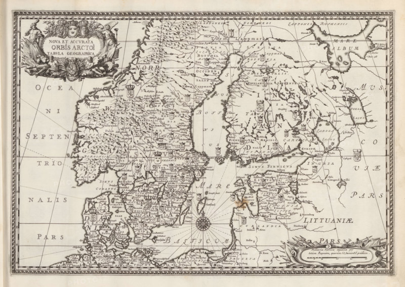
Map of the Scandinavian countries in the modern era, Nova Et Accurata Orbis Arctoi Tabula Geographica, Suecia Antiqua et Hodierna, print, album page, folder, printmaker: de Reuter, supervision: Erik Jönssen Dahlberg, 1696, paper, engraving, height 261 mm x width 382 mm, maps, atlases, Scandinavia, An ornate antique map printed in black ink on aged paper showing a coastal region with islands, peninsulas, rivers, and mountain symbols, framed by a decorative border; heraldic shields and small cartouches appear scattered across the land areas, along with a detailed compass rose in the sea and radiating navigation lines; an elaborate title cartouche with figures and floral ornamentation occupies the upper left, and another decorative cartouche sits near the lower right; coastlines are finely drawn with numerous place markers and stylized topographical hatching, and the overall image has a sepia tone from the aged paper.
Credit line
Photo12/Liszt Collection
Reference
LZT26A75_142
License type
Rights managed
Available size
42.9Mb (9.3Mb) / 15.3in x 10.9in / 4597 x 3264 (300dpi)