Caption
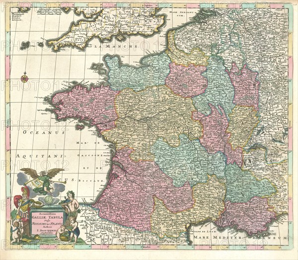
Map, Accuratissima Galliae tabula vulgo Royaume de France, Justus Danckerts (1635-1701), Copperplate print
Credit line
Photo12/Liszt Collection/Artokoloro
Reference
LZT20A46_292
License type
Rights managed
Available size
84.2Mb (10.2Mb) / 19.4in x 16.9in / 5809 x 5068 (300dpi)