Caption
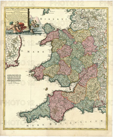
Map, Occidentalior Regni Angliae districtus, Frederick de Wit (1610-1698), Copperplate print
Credit line
Photo12/Liszt Collection/Artokoloro
Reference
LZT20A46_063
License type
Rights managed
Available size
201.2Mb (23.1Mb) / 25.5in x 30.7in / 7638 x 9206 (300dpi)