Caption
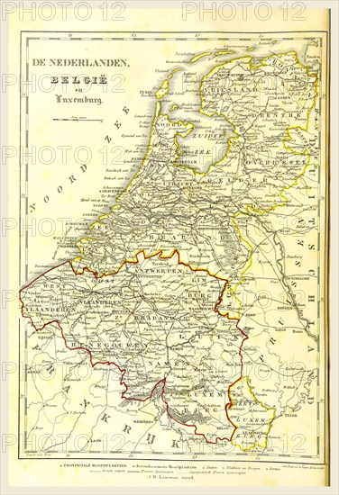
Map of The Netherlands, Belgium, Luxemburg, 19th century engraving
Credit line
Photo12/Liszt Collection/Quint Lox Limited
Reference
LZT16A63_125
License type
Rights managed
Available size
68.7Mb (3.9Mb) / 13.5in x 19.7in / 4054 x 5922 (300dpi)