Caption
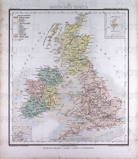
Great Britain and Ireland, atlas by Th. von Liechtenstern and Henry Lange, antique map 1869
Date
1869
Credit line
Photo12/Liszt Collection/Quint Lox Limited
Reference
LZT16A02_308
License type
Rights managed
Available size
66.8Mb (5.2Mb) / 15.0in x 17.3in / 4508 x 5176 (300dpi)