Caption
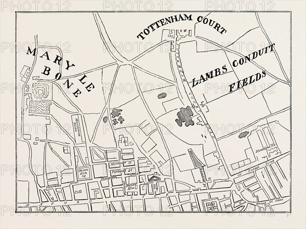
Map of Rathbone Place and neighbourhood, 1746, London, UK, 19th century engraving
Date
1746
Credit line
Photo12/Liszt Collection/Quint Lox Limited
Reference
LZT16A02_133
License type
Rights managed
Available size
64.3Mb (3.6Mb) / 18.3in x 13.7in / 5484 x 4096 (300dpi)